
Map of the Bahamas
$110.00
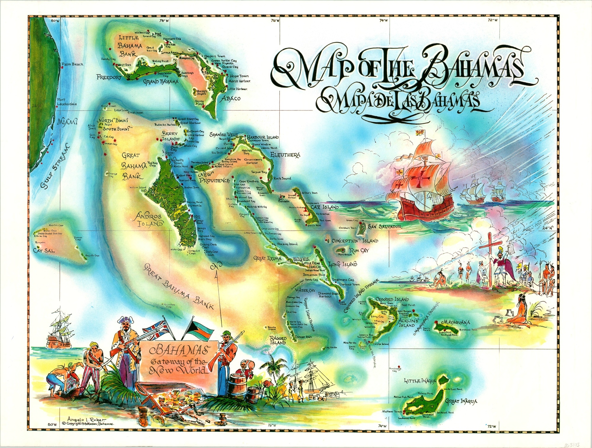
Beautiful map of the Bahamas celebrating the archipelago’s rich history.
1 in stock
Description
This visually stunning map of the Bahamas was designed by Angelo Rocker and published in Nassau in 1980. It draws inspiration from the rich history of the islands, starting with the first arrival of Columbus in 1492.
Vignettes showing evangelical conquistadores and swashbuckling buccaneers reflect stereotypical notions rather than historical accuracy but are illustrative of how Bahamians identify and market themselves to western tourists.
Map Details
Publication Date: 1980
Author: Angelo Roker
Sheet Width (in): 23
Sheet Height (in): 17.25
Condition: A
Condition Description: Light wear along the outer edges of the sheet, otherwise in fine condition overall.
$110.00
1 in stock