
Northwestern Pennsylvania’s Land O’Leisure
“A Map for Sportsmen, Tourists, and Vacationists.”
Out of stock
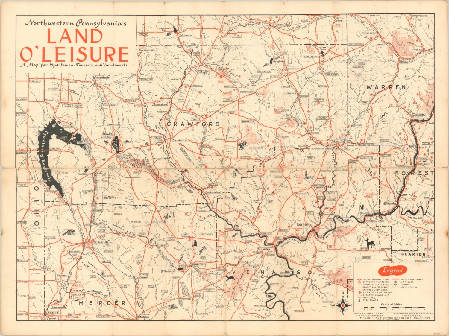
Description
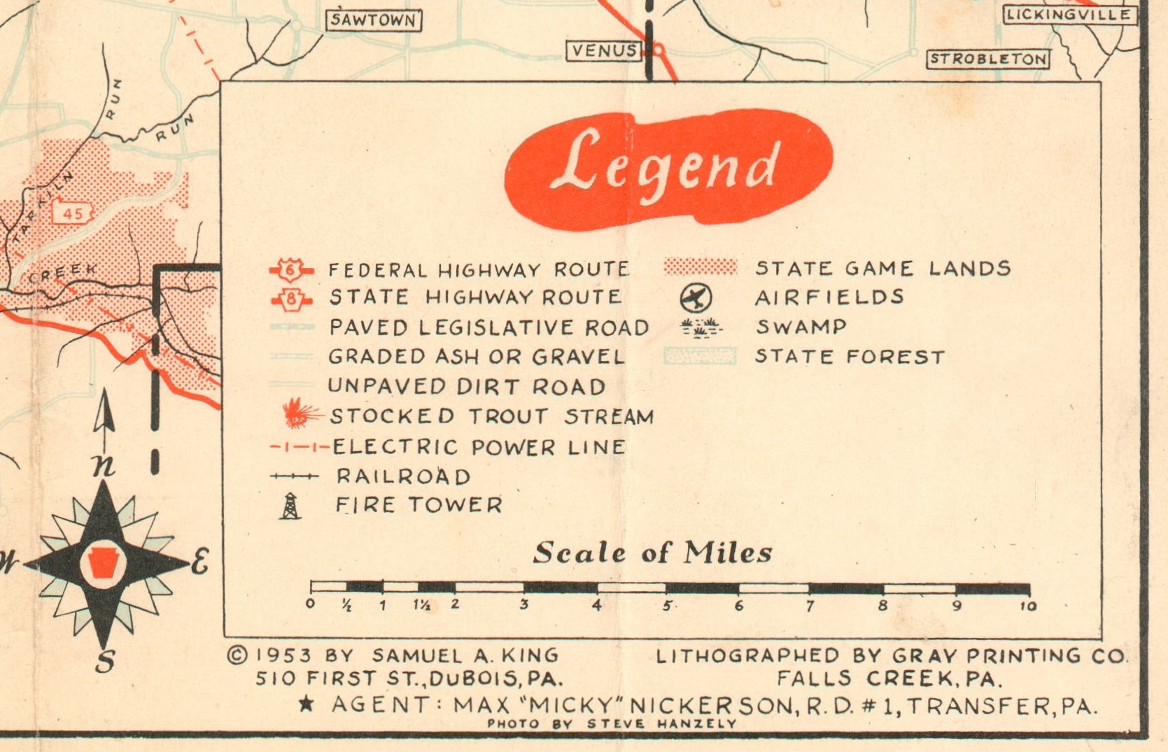
The rural composition of the area depicted in northwestern Pennsylvania on this map is hinted by the legend, which indicates roads varying from federal highways to dirt. Trout streams, railroads, power lines, fire towers, airfields, game lands, and swamps are also shown.
The image presents a veritable paradise for outdoor enthusiasts, with ample waterways and forests for hunting and fishing. Small silhouettes and illustrations of possible quarry are shown throughout.
Created in 1953 by Samuel King and lithographed by the Gray Printing Company of Falls Creek, Pennsylvania.
Map Details
Publication Date: 1953
Author: Samuel King
Sheet Width (in): 23.75
Sheet Height (in): 17.75
Condition: B
Condition Description: Heavy wear along former fold lines, notably the horizontal centerfold. Significant separation has been repaired on the verso with archival tape, and there is some spotting and discoloration confined to the margins. Several annotations in pencil throughout.
Out of stock