
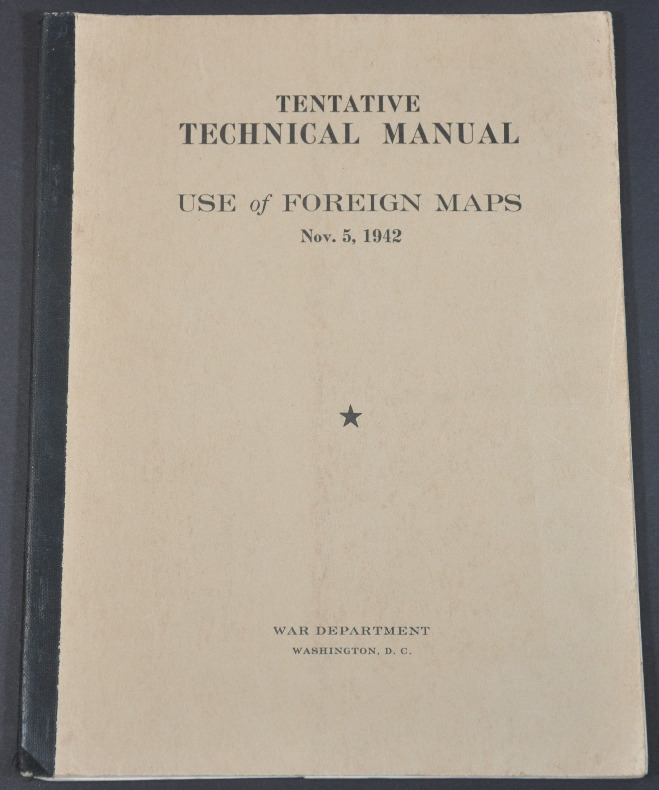
Tentative Technical Manual Use of Foreign Maps
An American guide to reading French, Danish, Dutch, and British maps during World War II.
Out of stock
Description
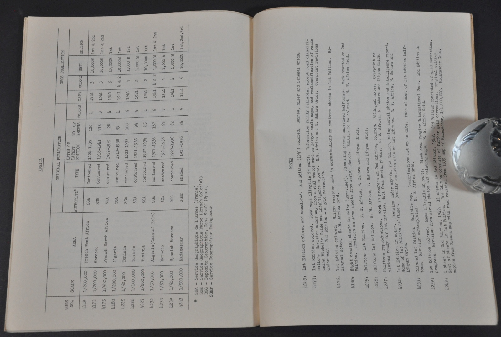
This wartime manual was published in November of 1945 by the United States War Department in Washington, D.C. It was designed as a primer to assist American troops in both European and Pacific Theaters with reading the topographical maps published by various Allied nations.
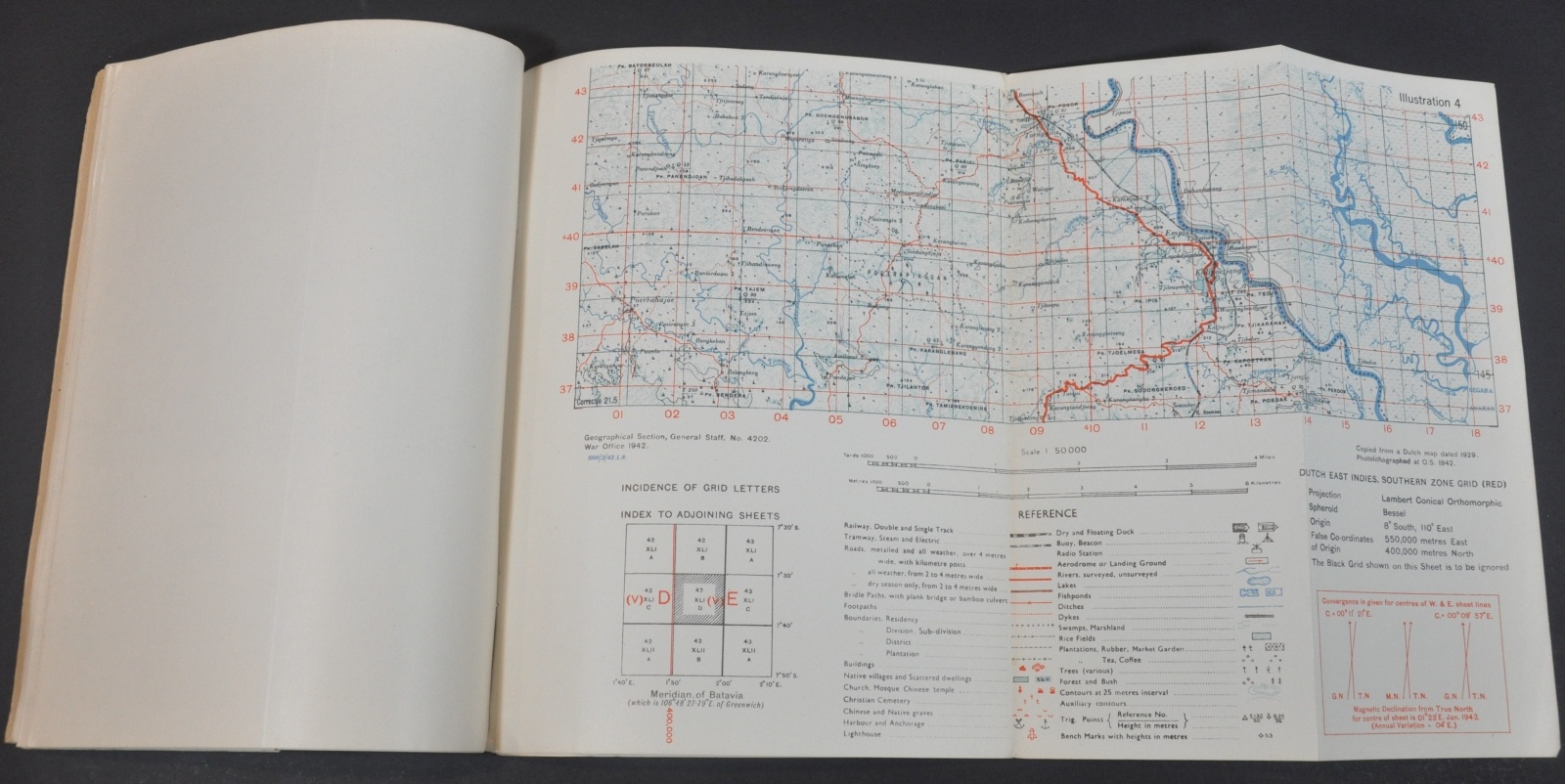
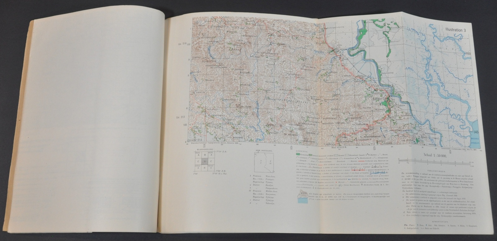
Five fold-out examples are included, along with a wealth of instructive information on distances, scales, elevation, and more.
Map Details
Publication Date: 1942
Author: U.S. War Department
Sheet Width (in): See Description
Sheet Height (in): See Description
Condition: A-
Condition Description: 14 pp. booklet, approximately 8" x 10.25", with adhesive binding and brown paper covers. Contents in very good to near fine condition and include five fold-out maps.
Out of stock