
Ohman’s New Commercial Map of the United States
$110.00
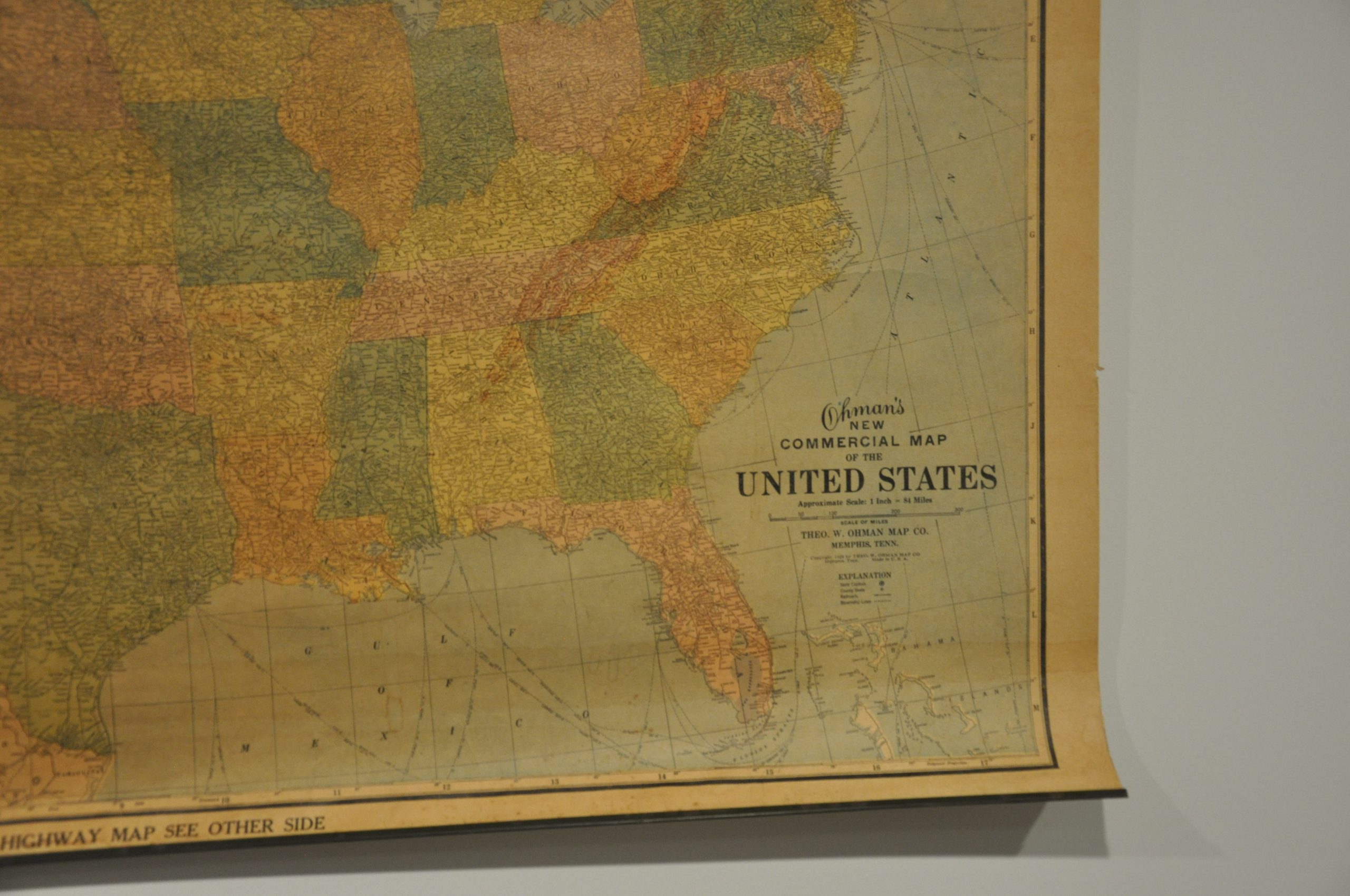
Commercial map of the United States published on the eve of the Great Depression.
1 in stock



Description
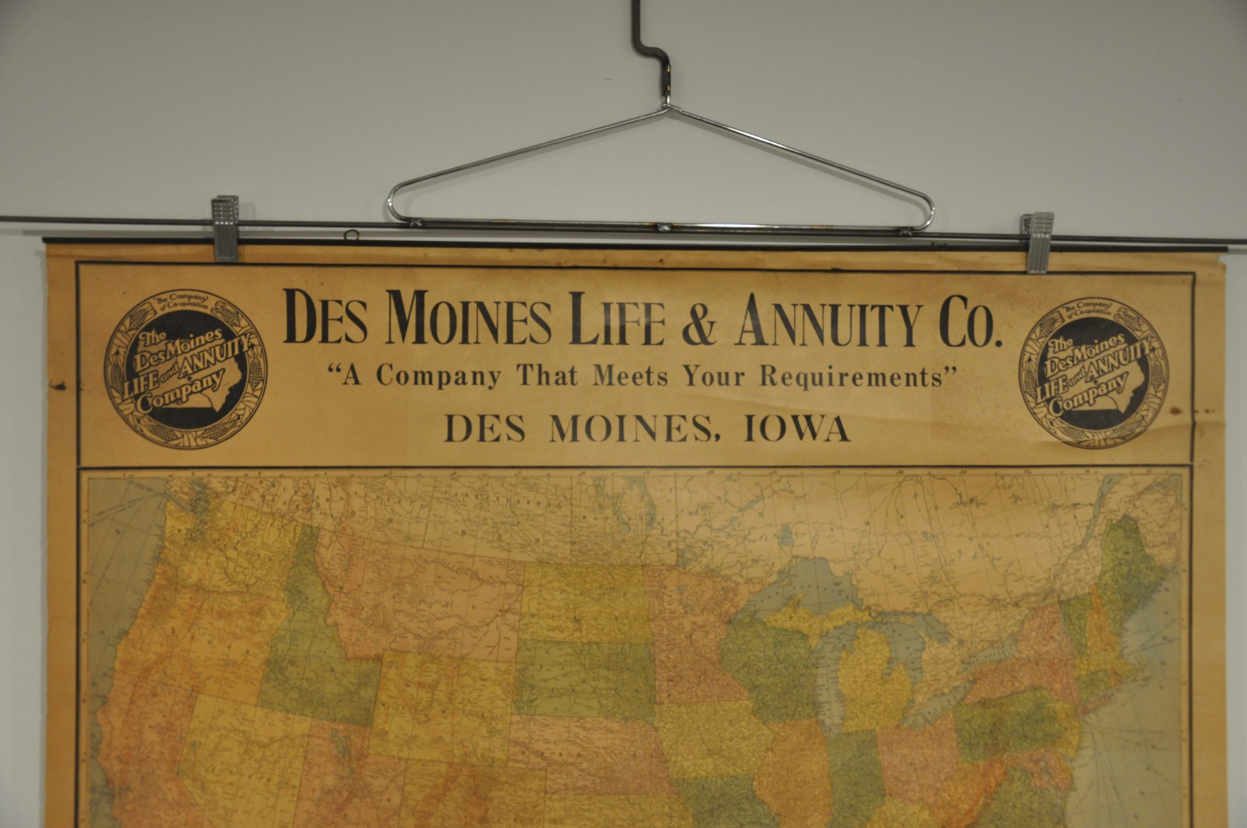
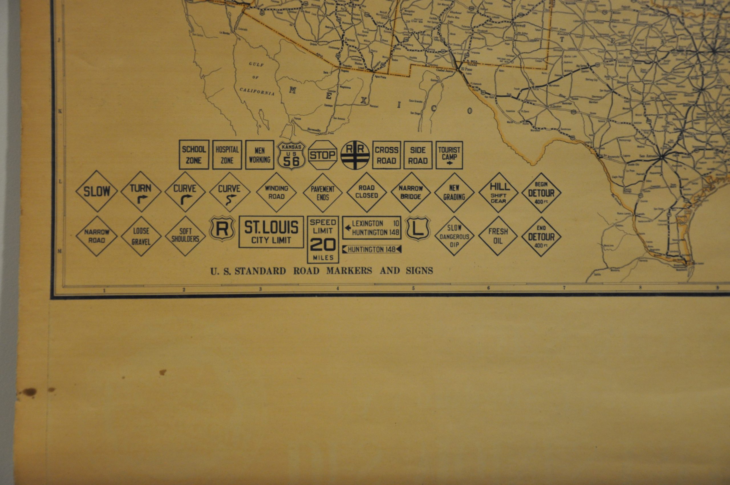
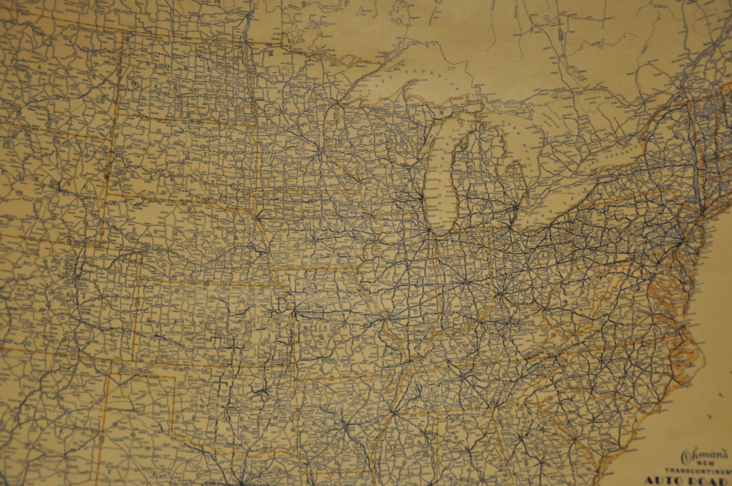
This detailed political map of the United States was published in Memphis, Tennessee by the Theodore Ohman Map Company in 1928 (later shorted to the Ohman Map Co.) It was designed as a commercial publication and intended to be hung on the walls of local businesses.
This particular example features a large advertisement for the Des Moines Life & Annuity Company at the top, though other issues likely feature a number of regional variations. Major transportation routes like railroads and steamship lines are noted, while topographic detail is depicted in simple hachure.
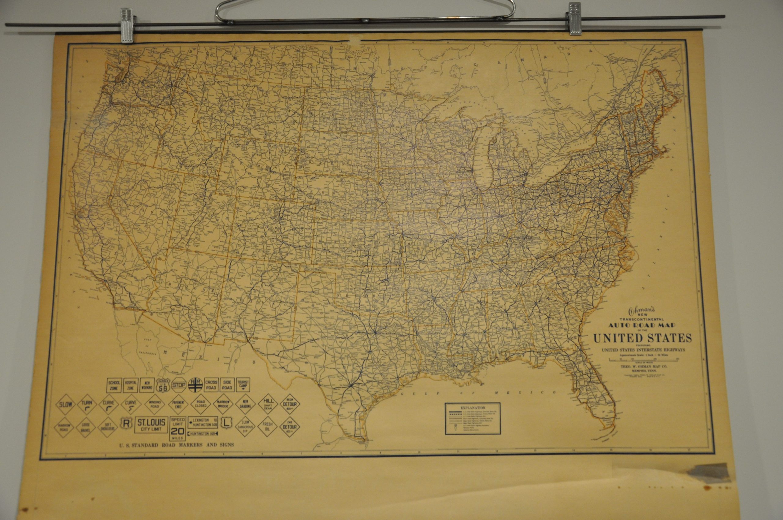
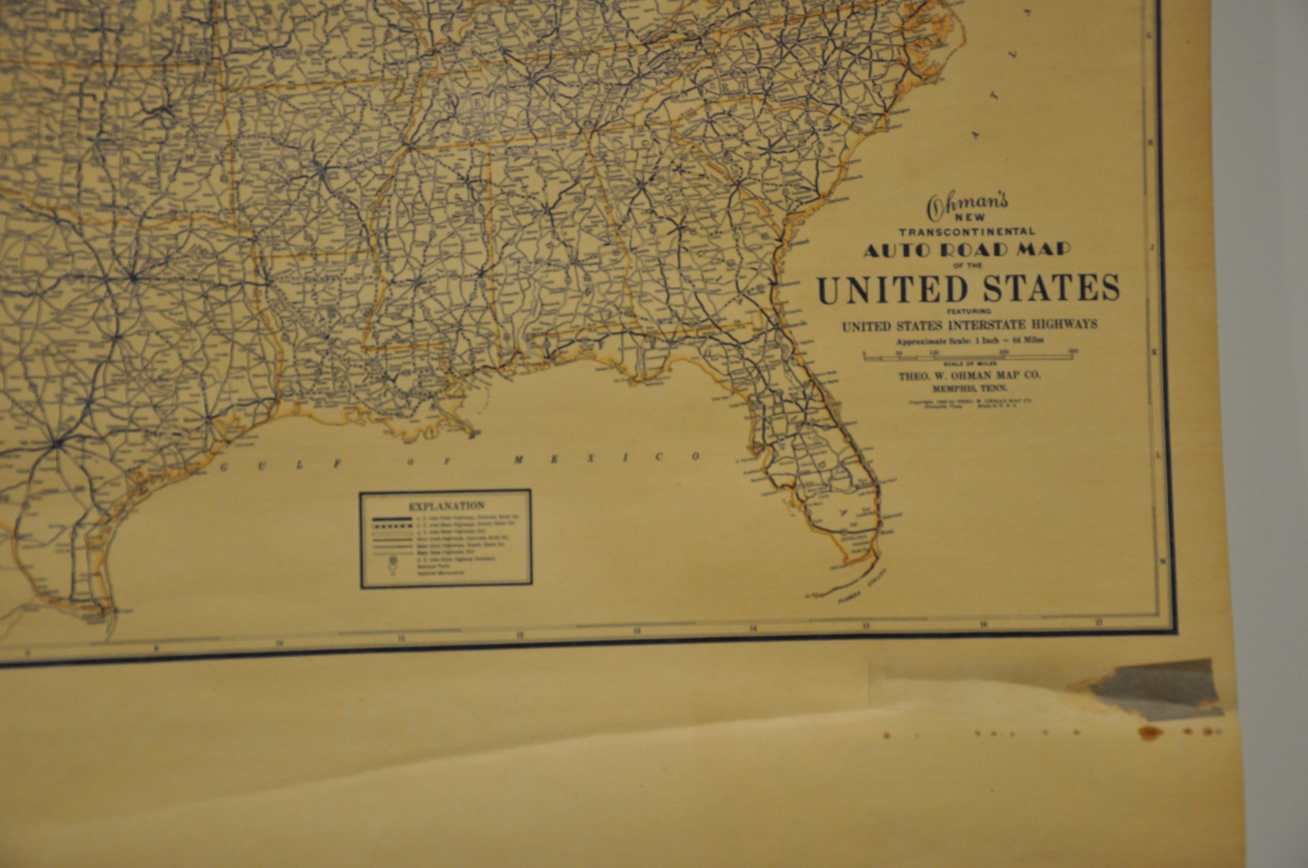
The verso of the map shows a simplified highway map of the United States, and a second sheet lists a comprehensive index of every town and city across America. The economic growth during the ‘Roaring 20’s’ envisioned by this map would meet a precipitous decline the year after publication, as Black Friday’s Wall Street crash ushered in the Great Depression.
Map Details
Publication Date: 1928
Author: The Ohman Co.
Sheet Width (in): 36.00
Sheet Height (in): 29.50
Condition: B-
Condition Description: Double sided wall map and separate street index (2 sheets) mounted on upper and lower metal rollers. The sheet is moderately toned throughout, and includes a strip of heavier discoloration running along the bottom of the image. Creased in several areas. Scattered spotting visible across the top, and a 4" tear in the lower left has been repaired on the verso.
$110.00
1 in stock