
AAF Aeronautical Chart – Platte River
$60.00
WWII-era aviation chart of the Platte River west of Des Moines.
1 in stock
Description
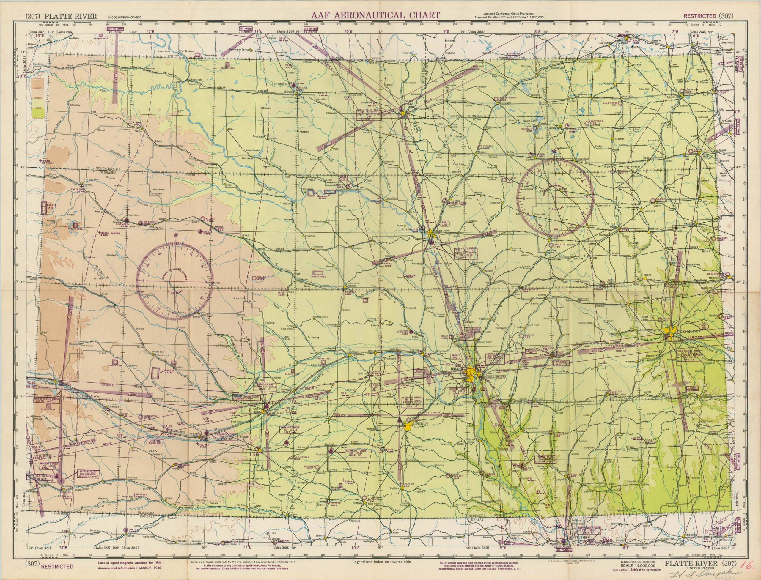
This detailed navigational chart focusing on the Platte River covers portions of Iowa, South Dakota, Minnesota and Nebraska and was created by the United States Geological Survey on behalf of the Air Force during WWII. Marked RESTRICTED, the map presents sensitive information wartime information such as radio frequencies, vital defense areas, and the location of military facilities.
The image includes the cities of Des Moines, Omaha, Lincoln, and Sioux Falls. Vibrant lithographed color reflects elevation, while topography is depicted in contour.
The verso features a comprehensive legend and an index of all 1,800 sheets that comprise the World Aeronautical Chart series of the AAF. Published in March, 1945 by the U.S.G.S. in Washington, D.C.
Map Details
Publication Date: 1945
Author: United States Geological Survey
Sheet Width (in): 28.75
Sheet Height (in): 22.00
Condition: B+
Condition Description: Formerly folded into 8 panels, with creasing and light discoloration along fold lines. Manuscript writing visible in the lower margin. Very good overall.
$60.00
1 in stock