
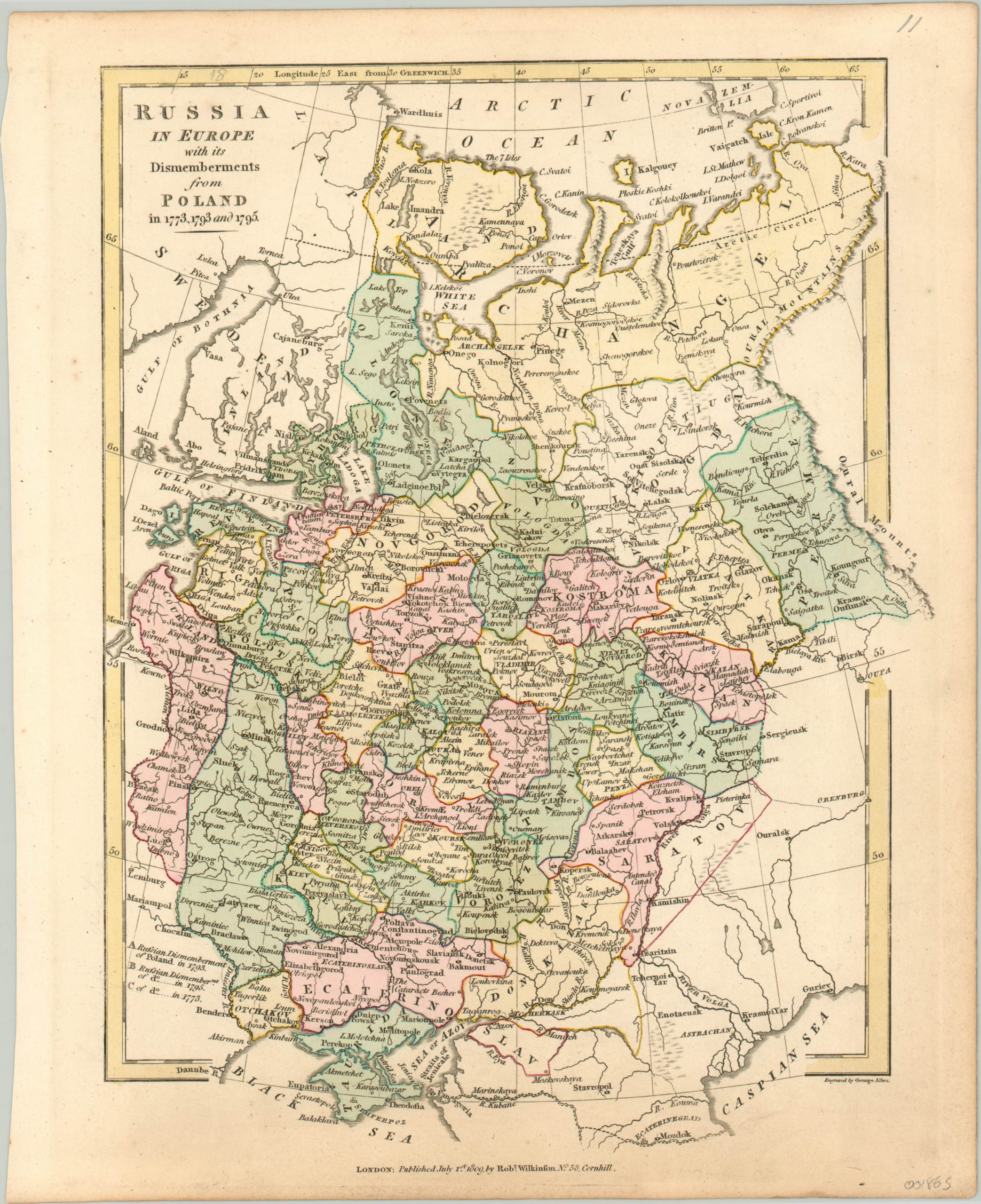
Russia in Europe with its Dismemberments from Poland
$100.00
Mapping Russia’s gains from the late 18th century partitioning of Poland.
1 in stock
Description
On three separate occasions in the late 18th century, Prussia, Russia, and the Hapsburg Empire divvied up the Polish-Lithuanian Commonwealth through a process of forced territorial annexation. In the twenty-two years between 1773 and 1795, the country ceased to exist politically.
This map captures the spoils obtained by the Russian Empire in each of the three partitions; 1773, 1793, and 1795. Each eastern regional acquisition is identified with a relatively inconspicuous letter according to year of the partition. The scope of the gains are almost presented as an afterthought in the broader image of the Russian Empire in Europe.
At the time of publication, the Napoleonic Wars ravaged the continent, so perhaps this was an intentional commentary by the cartographer. Published in London in 1809 by Robert Wilkinson.
Map Details
Publication Date: 1809
Author: Robert Wilkinson
Sheet Width (in): 10.90
Sheet Height (in): 13.30
Condition: A-
Condition Description: Faint soiling around the outer edges, concentrated especially along the bottom of the sheet. The image remains clean and in very good condition, with nice hand color.
$100.00
1 in stock