
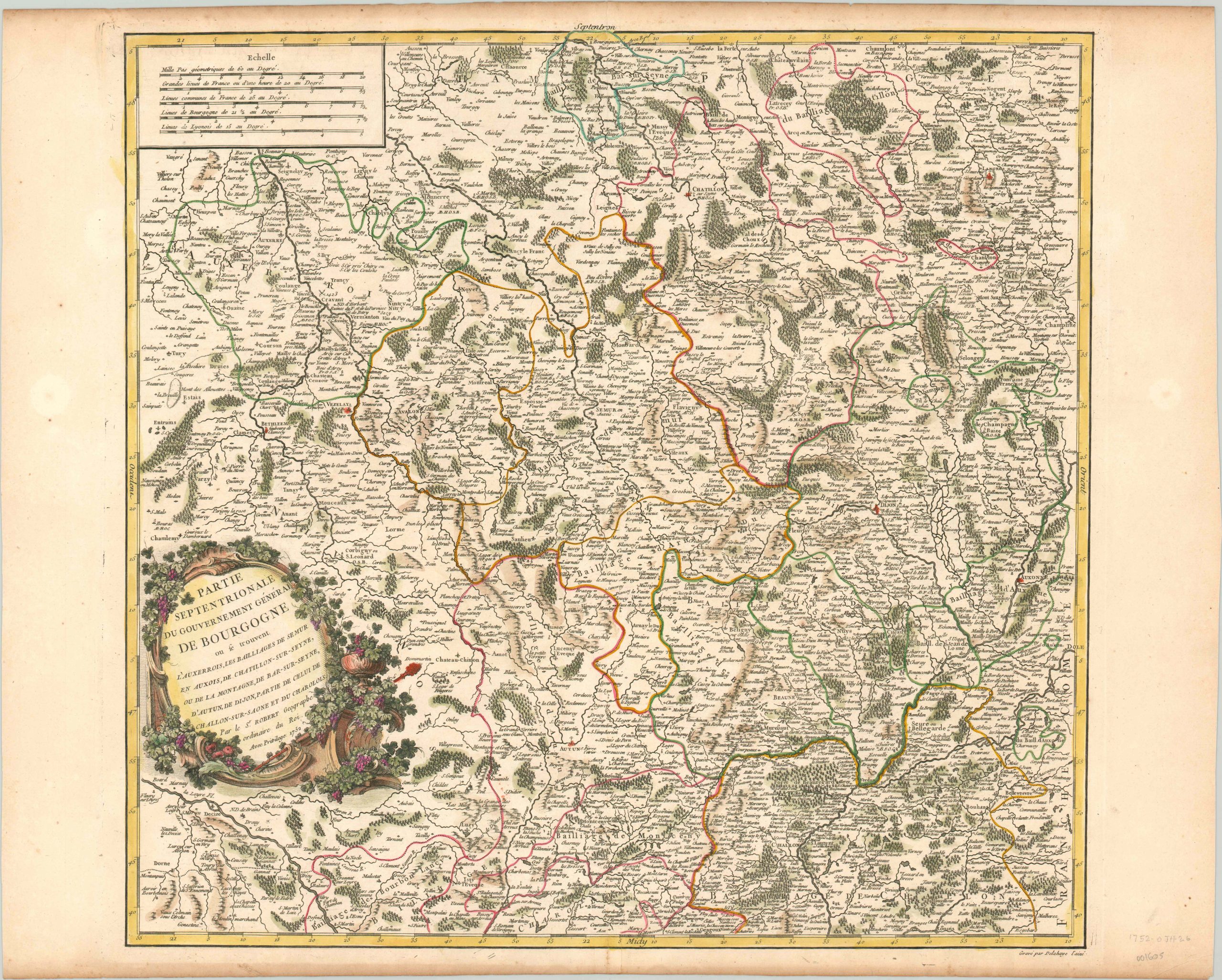
Parte Septentrionale du Gouvernement General de Bourgogne
$250.00
A cartographic celebration of the wine producing region of Burgundy in France.
1 in stock
Description
Wine is likely the first thing that comes to mind when thinking of Burgundy, and for good reason. Viticulture has played an important role in the area since Roman times, and even today Burgundy has a higher number of appellations d’origine contrôlée (AOCs) than any other French region. Many of the monasteries and abbeys that can be found on this map produced wine in one form or another, and some of them likely still do today!
The close relationship between Burgundy and its wine is celebrated in the decorative rococo cartouche, which is framed by a fruitful grape vine. Elsewhere in the image, one can find the historic city of Dijon, ruined fortifications, an old Roman road, and numerous battle sites from the Hundred Years War.
Published in Paris by Robert de Vaugondy. Dated 1752, but likely issued in the 1757 (first) issue of his Atlas Universel. Original old body color, but the cartouche has been done more recently.
References: Pedley # 142
Map Details
Publication Date: 1752
Author: Robert de Vaugondy
Sheet Width (in): 25.00
Sheet Height (in): 20.00
Condition: A
Condition Description: Slight toning to the upper and lower edges to the sheet and a few small spots in the side margins, well away from the image. Near fine condition, with original body color and later color in the cartouche. Issued on watermarked paper.
$250.00
1 in stock