
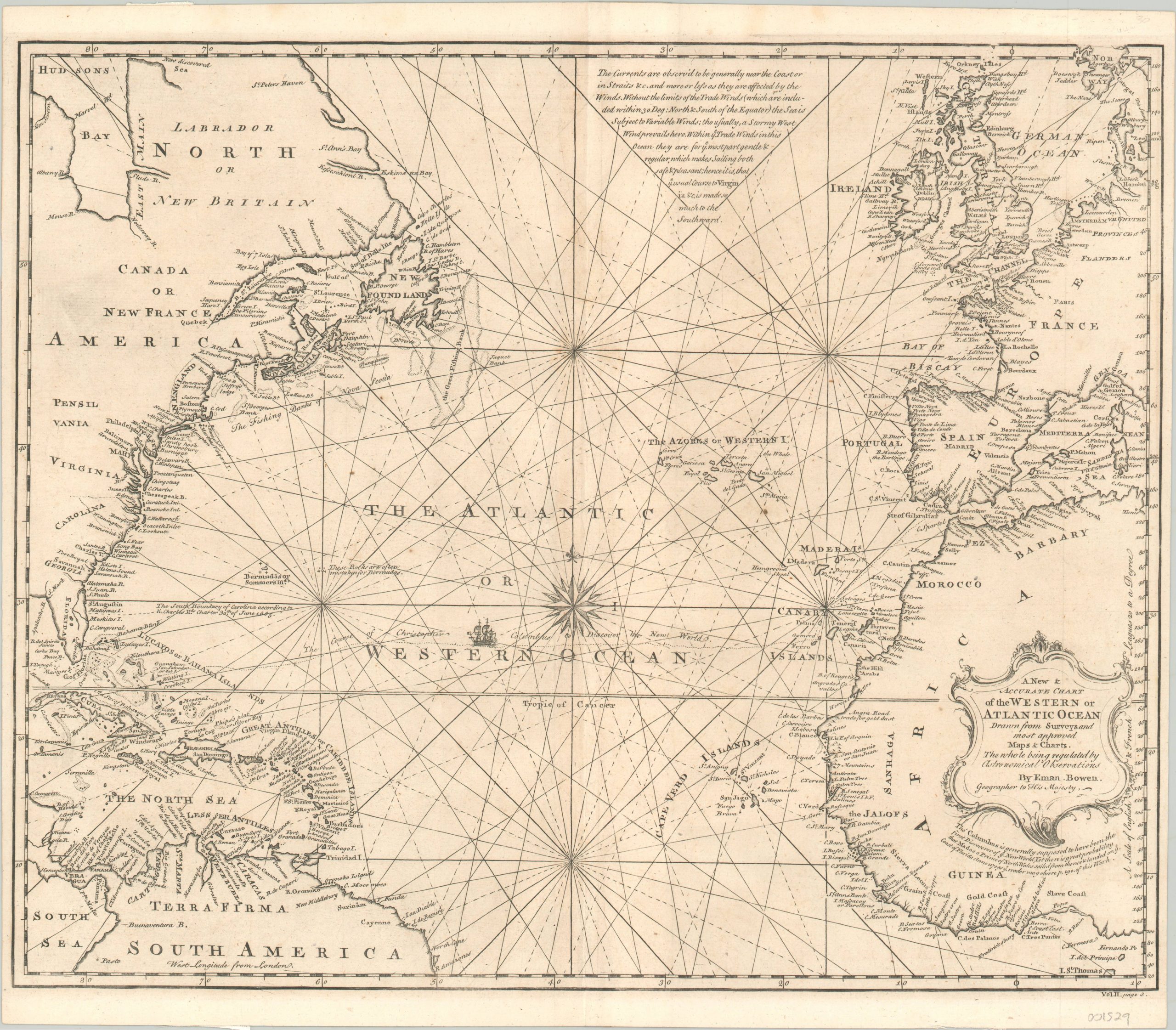
A New & Accurate Chart of the Western or Atlantic Ocean
$425.00
A detailed English map of the Atlantic Ocean issued by Emanuel Bowen in 1744.
1 in stock
Description
Typical of maps published by Emanuel Bowen, this chart of the Atlantic Ocean contains numerous annotations which add a fascinating layer of information to the image. A paragraph at the top of the sheet provides an overview of how currents (namely, the Gulf Stream) and trade winds can dictate navigation.
A second paragraph under the title block alludes to the mythical voyage of Prince Madoc, a Welsh prince whose legend has him sailing to North America in 1170 – predating Columbus by over 300 years! The story originated in the medieval era and was revived several times throughout history, up to the mid-19th century, when Native American tribes were thought to be the ancestors of these “Welsh Indians.”
Despite Bowen’s assertion that “there is great probability that Madoc…landed on [the] coast of Florida,” there is little concrete evidence to back up his claims. Perhaps in an effort to hedge his bets, the cartographer included the tracks of Columbus across the Atlantic, as well as a small image of one of his ships.
Map Details
Publication Date: 1744
Author: Emanuel Bowen
Sheet Width (in): 17.90
Sheet Height (in): 15.50
Condition: A-
Condition Description: The map is in excellent condition. A bold impression on a clean sheet. A few tiny scattered spots are hardly noticeable, and there are a few remnants of archival tape on the verso from where the map was previously framed.
$425.00
1 in stock