
Asher & Adams’ California & Nevada
$175.00
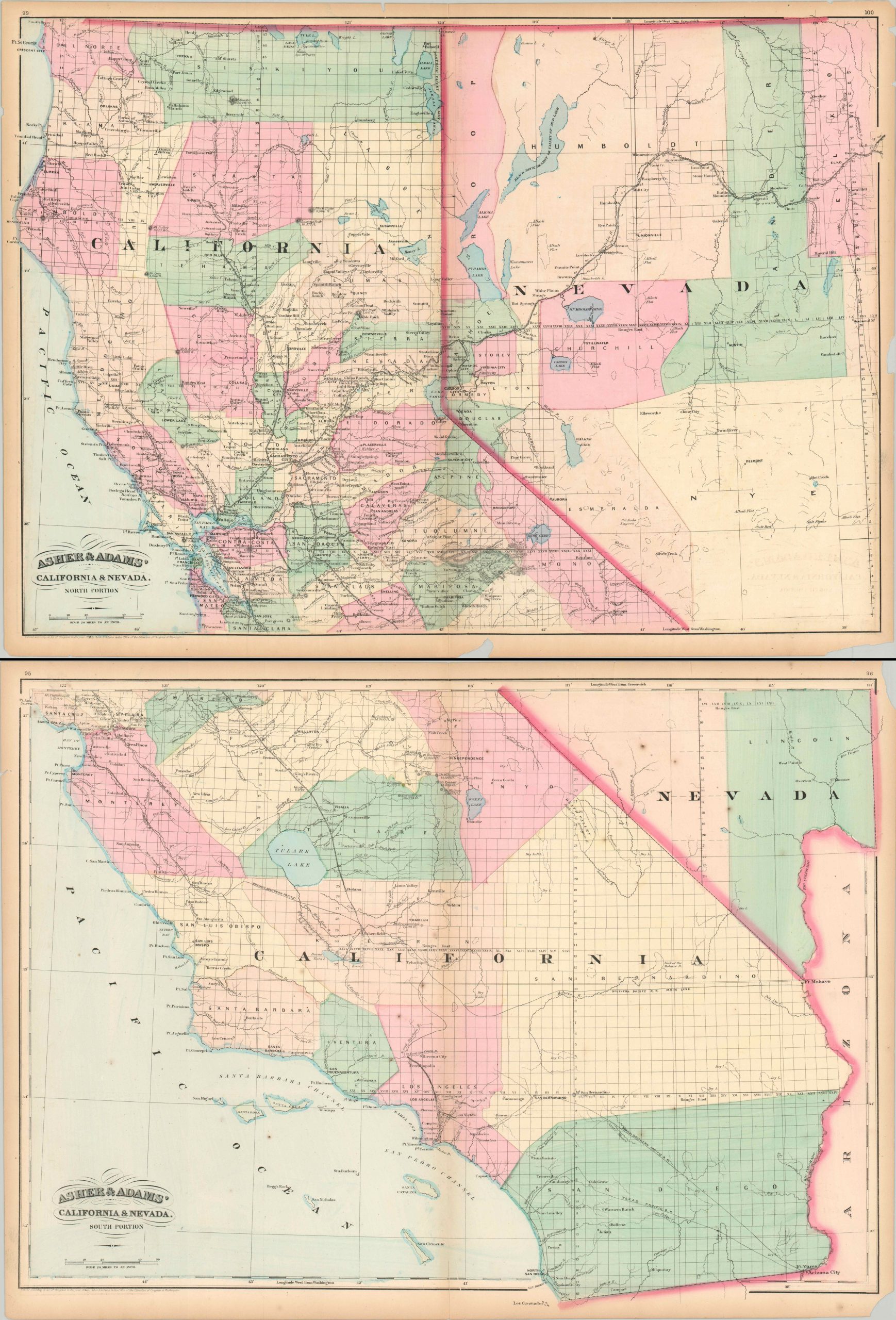
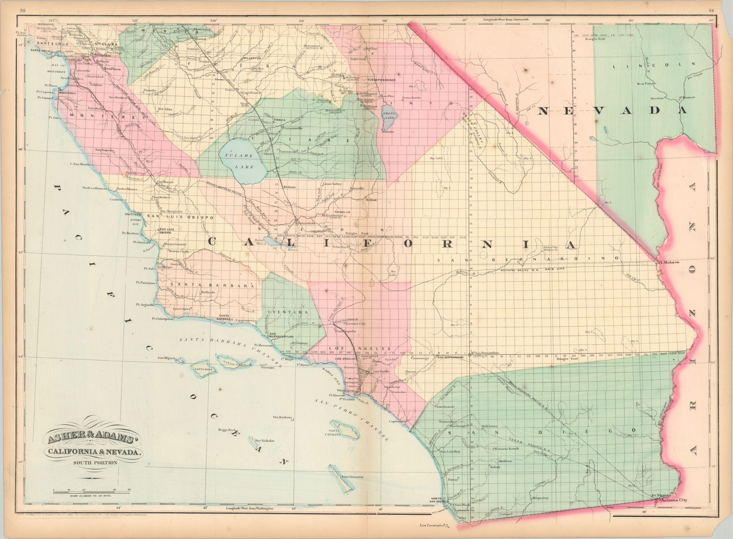
The northern and southern sheets of Asher & Adams’ map of California & Nebraska.
1 in stock

Description
This pair of maps shows the states of California and Nevada in fine detail; at a time when large county configurations and a lack of surveyed townships reflects the sparse settlement and ‘Wild West’ atmosphere. Railroads, the primary avenue of transportation for passenger and freight traffic, are boldly shown (strongly concentrated in the Central Valley) and individually labeled. Prominent geographic features (including mountain peaks with elevation), forts, mining towns, and survey lines are also indicated.
Published in New York by Asher & Adams in the 1874 edition of their New commercial, topographical, and statistical atlas and gazetteer of the United States.
Map Details
Publication Date: 1874
Author: Asher & Adams
Sheet Width (in): 23.90
Sheet Height (in): 17.40
Condition: B
Condition Description: Two sheets, each measuring approximately 23.9" x 17.4" Moderate discoloration along the vertical centerfolds, and several areas where the sheet has chipped in the outer margins (away from the image). A few small spots of scatted foxing present in the southern portion of Nevada and the Pacific Ocean. Faint offsetting visible in the lower right of the top sheet.
$175.00
1 in stock