Geography.
An encyclopedia entry perpetuating one of the greatest cartographic myths.
Out of stock
Description
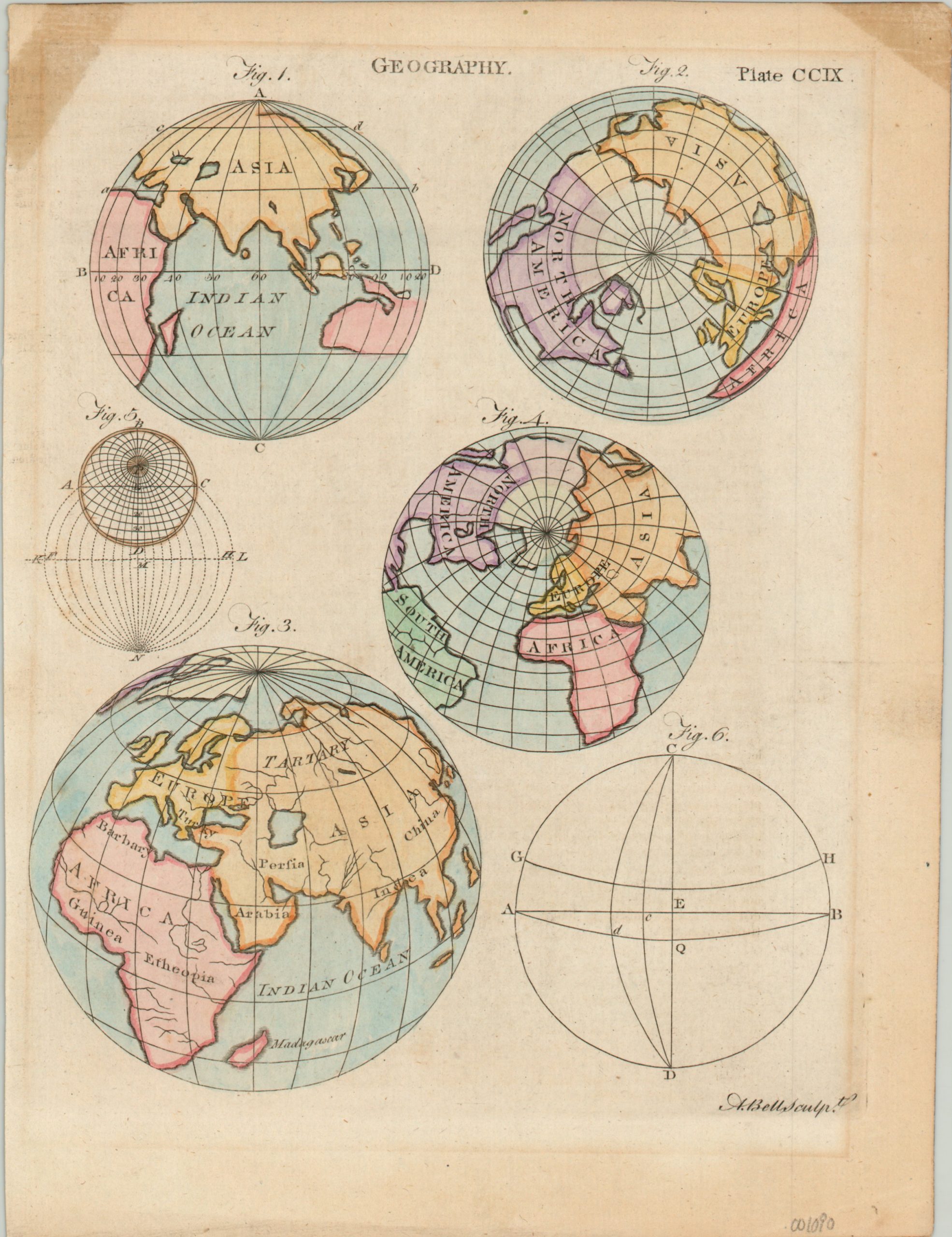
This world map from Encyclopedia Britannica was engraved by Andrew Bell sometime in the middle of the 18th century. The plate shows several global projections and diagrams related to the encyclopedic entry for Geography. Accuracy must not have been a terrible concern, as the upper right polar projection shows California as an island!
One of the most famous cartographic errors, this myth was propagated across numerous maps in the 17th and 18th centuries. It began with tales from Spanish explorers in the 1500’s and wouldn’t leave the geographic canon until the last quarter of the 1700’s.
Map Details
Publication Date: c. 1750
Author: Andrew Bell
Sheet Width (in): 7.90
Sheet Height (in): 10.40
Condition: B+
Condition Description: Matte burn around the outer edges and a stain from old tape adhesive in the upper left corner, away from the image. A bold print with lovely hand color.
Out of stock