
Plan of the County of the City of Glasgow
$75.00
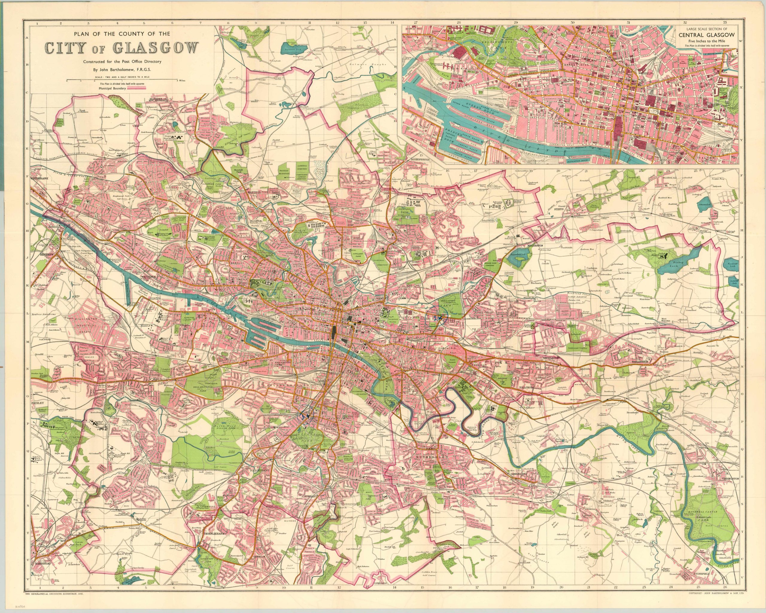
Mid-20th century city plan of Glasgow, Scotland and suburbs.
Description
This is a detailed pocket map of the area around Glasgow, Scotland on the banks of the River Clyde from Clydebank to Bothwell Castle. Urban areas are shown in pink, while parks, cemeteries, forests and other natural spaces are shown in green. A scale of two and a half inches to the mile allows for a tremendous amount of detail regarding prominent buildings, infrastructure and transportation routes, while a comprehensive street index can be found attached to the original paper covers.
The map was published by the firm of John Bartholomew and Son of Edinburgh. The company was established in 1826 as a producer of all sorts of paper material; including maps, checkbooks, and election materials. The family firm, which ultimately passed through four generations of Bartholomews, still operates today as part of HarperCollins publishers.
Map Details
Publication Date: 1951
Author: John Bartholomew & Co.
Sheet Width (in): 33.60
Sheet Height (in): 27.00
Condition: A-
Condition Description: Fold lines as issued with original blue paper covers. Covers show minor discoloration and some wear, but the map is in near fine condition. Two spots where a previous owner circled areas in blue pencil - near Strathbungo and Alexandra Park.
$75.00