U.S. Midwest
Showing 1585–1602 of 1692 resultsSorted by latest
-

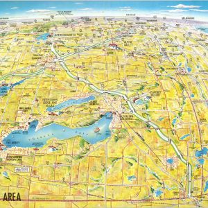
Geneva Lakes Area
$50.00 Quick View -
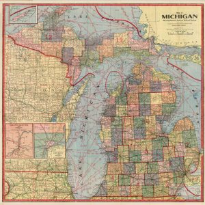
Map of Michigan Showing Distances Between Railroad Stations
$100.00 Quick View -
[Chicago] Floodlighting – A Dignified Means of Revealing Architectural Designs
$150.00 Quick View -
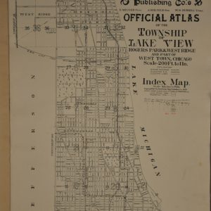
The Real Estate Map Publishing Co.’s Official Atlas of the Township of Lake View Rogers Park & West Ridge and Part of West Town, Chicago
$850.00 Quick View -
The Real Estate Map Publishing Co.’s Official Atlas of the Township of Jefferson and Part of Norwood Park Maine and Niles
$675.00 Quick View -
Sold Out
Plat Book of Jackson County, Kansas
Quick View -
Standard Atlas of Montgomery County, Indiana
$150.00 Quick View -
Atlas of Page County, Iowa
$125.00 Quick View -
Standard Atlas of Monroe County, Missouri
$125.00 Quick View -
Standard Atlas of Ringgold County, Iowa
$125.00 Quick View -
Sold Out
Plat Book of Nodaway County, Missouri
Quick View -
Sold Out
Standard Atlas of Kendall County, Illinois
Quick View -
Sold Out
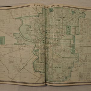
Illustrated Historical Atlas of the State of Indiana
Quick View -
Atlas of the State of Wisconsin
$750.00 Quick View -
Sale!
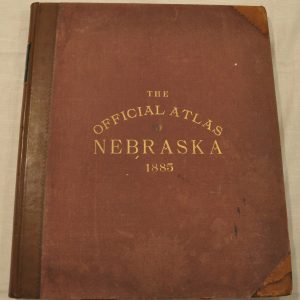
The Official State Atlas of Nebraska
$2,400.00Original price was: $2,400.00.$1,740.00Current price is: $1,740.00. Quick View -
Atlas of Bartholomew Co. Indiana
$300.00 Quick View -
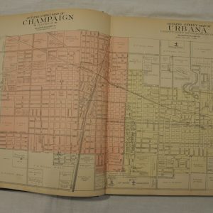
Standard Atlas of Champaign County, Illinois
$395.00 Quick View -
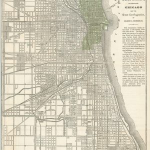
Map of Chicago; Showing the Parks, Boulevards and Burnt District
$110.00 Quick View
![[Chicago] Floodlighting - A Dignified Means of Revealing Architectural Designs](https://curtiswrightmaps.com/wp-content/uploads/map_05-28-20_300dpi_10.02x16.10_inv950-scaled-300x300.jpg)


show blocks helper