Massachusetts
Showing 55–72 of 131 resultsSorted by latest
-

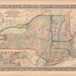
County Map of the States of New York, New Hampshire, Vermont, Massachusetts, Rhode Id, and Connecticut
$60.00 Quick View -
Massachusetts
$75.00 Quick View -
County and Township Map of the States of Massachusetts Connecticut and Rhode Island
$70.00 Quick View -
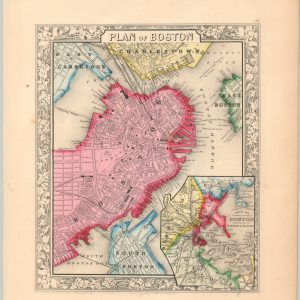
Plan of Boston
$85.00 Quick View -
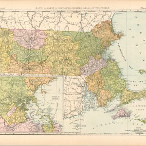
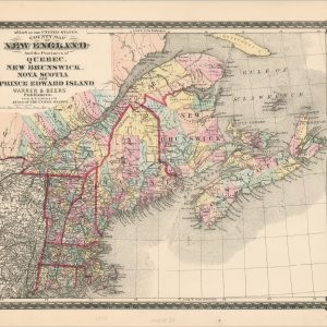
County Map of New England and the Provinces of Quebec, New Brunswick, Nova Scotia, and Prince Edward Island
$65.00 Quick View -
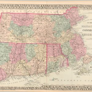
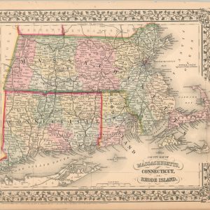
County Map of Massachusetts, Connecticut, and Rhode Island
$70.00 Quick View -
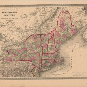
New England and New York
$65.00 Quick View -
The Mohawk Trail [Title on Verso]
$75.00 Quick View -
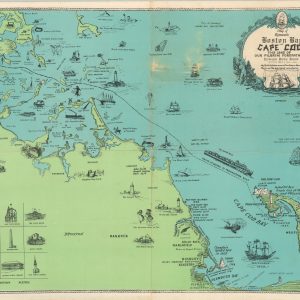
Map of Romantic Boston Bay and Cape Cod
$110.00 Quick View -
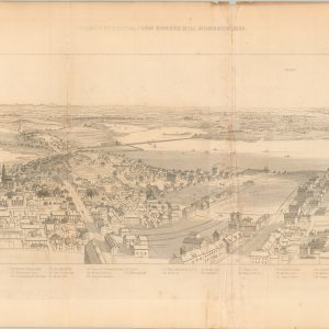
Vicinity of Boston, From Bunker Hill Monument, 1853.
$125.00 Quick View -
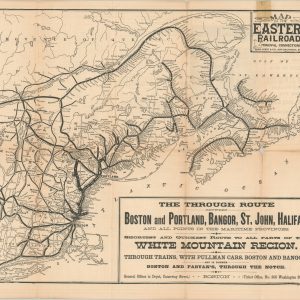
Map of the Eastern Railroad and Principal Connections
Quick View -
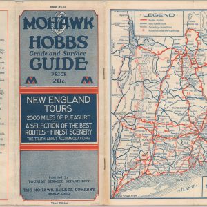
Mohawk-Hobbs Grade and Surface Guide – New England Tours
Quick View -
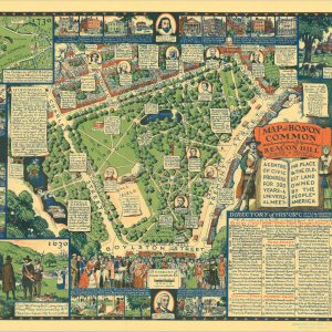
Map of Boston Common with Surrounding Streets & Adjacent Parts of Beacon Hill
Quick View -
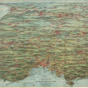
Trolley Pathfinder Bird’s Eye Map of Interurban Trolley Lines in New England
Quick View -
Trolley Trips
$210.00 Quick View -
Summer Resorts of the Coast, Lake, and Mountain Regions along the Boston & Maine Railroad and Connections
Quick View -
Boston Elevated Railway System Route Map
Quick View -
Road Map of Storm King Highway and Connecting Roads [Text on Verso]
$70.00 Quick View
![The Mohawk Trail [Title on Verso]](https://curtiswrightmaps.com/wp-content/uploads/map_2023-03-27_3.05x18.07_inv4706c-300x300.jpg)


![Road Map of Storm King Highway and Connecting Roads [Text on Verso]](https://curtiswrightmaps.com/wp-content/uploads/scan_2022-10-05_300dpi_INV004224c-300x300.jpg)