Trolley Trips
$210.00
Access three states aboard the interurban lines of two Boston-based firms.
1 in stock
Description
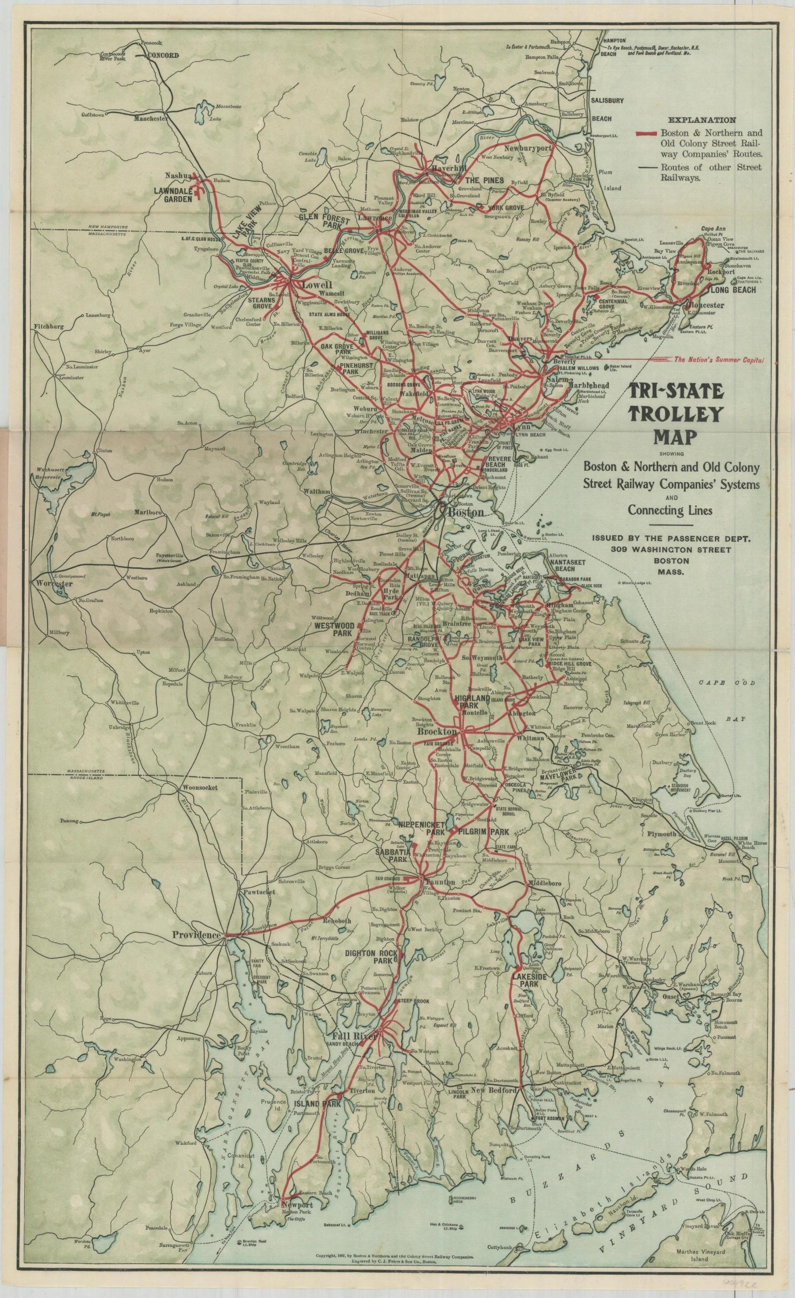
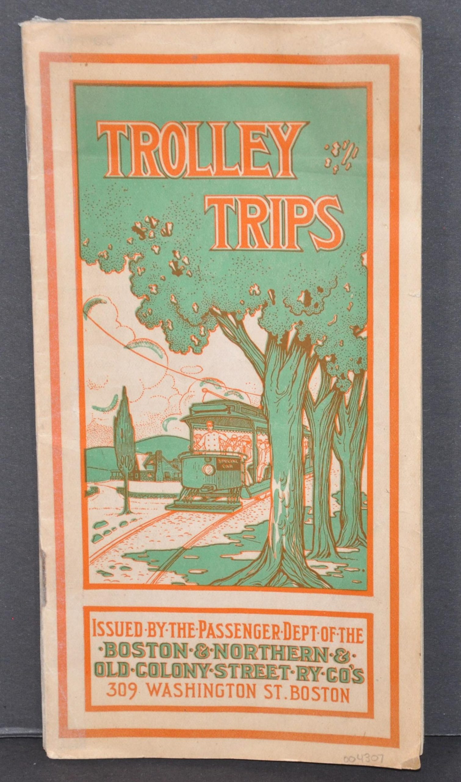
This fascinating brochure was published as a cooperative effort between the Boston & Northern and Old Colony Street Railway companies, two interurban railway providers headquartered in Boston. Combined, their network accessed many of the cities throughout southern New Hampshire, eastern Massachusetts, and northeast Rhode Island.
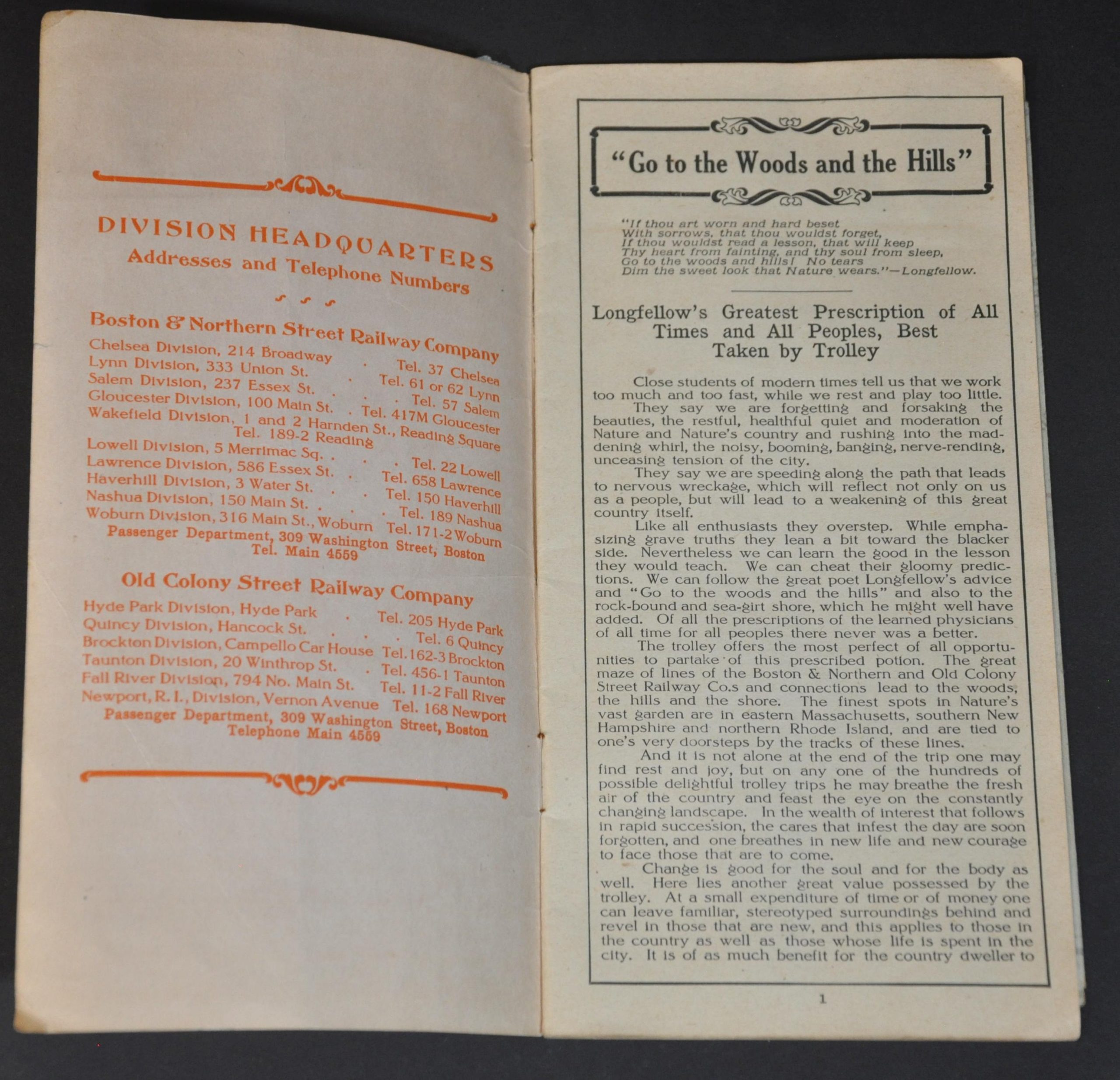
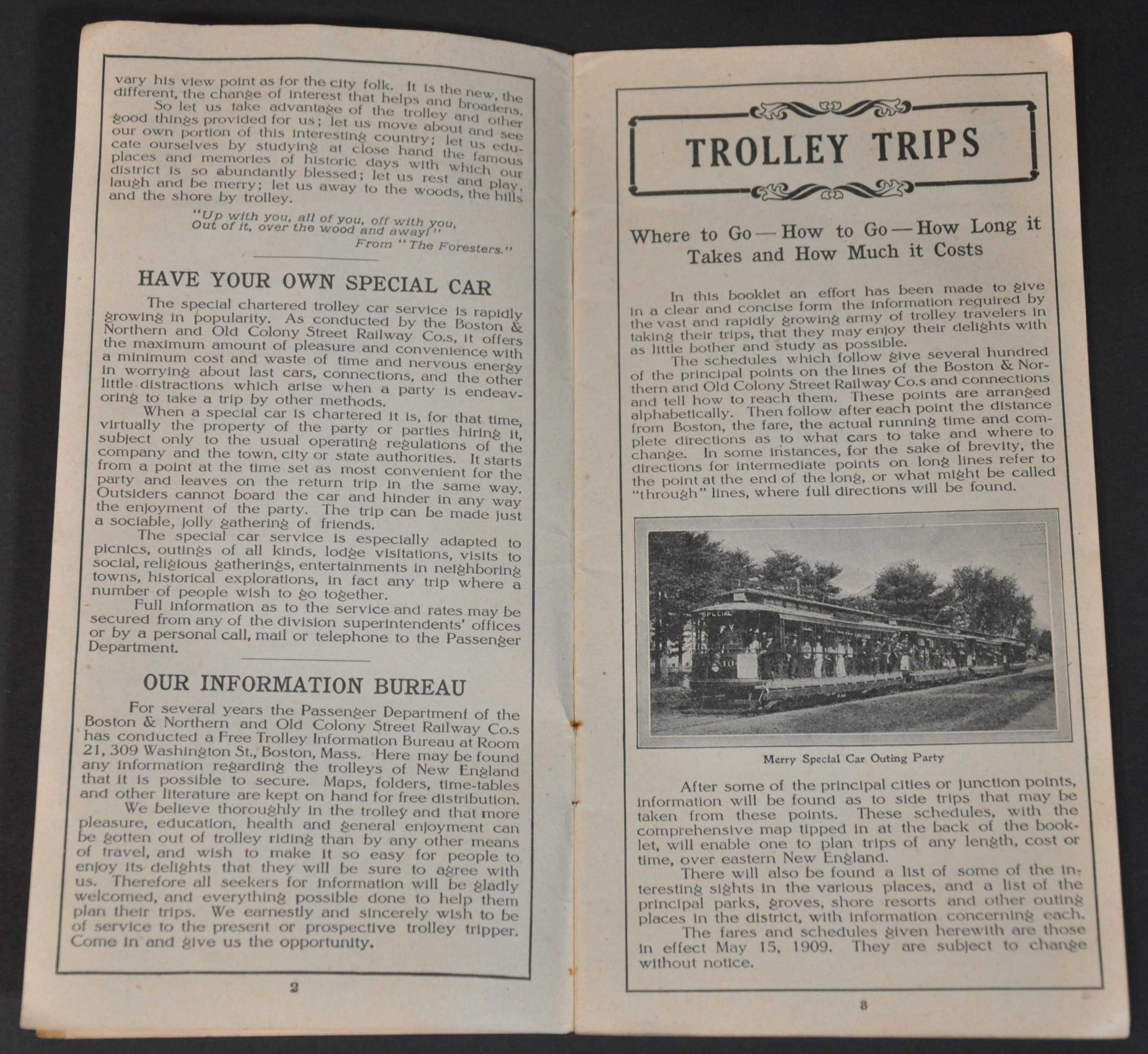
Twenty-four pages provide fare rates (for the 1909 season), travel times, route descriptions, historic tidbits, and photographs of beautiful scenery and major attractions. A fold-out affixed to the back cover titled Tri-State Trolley Map shows the routes in operation between both companies, though they are indistinguishable from one another. Station stops are labeled, as well as locations of interest like race tracks, fairgrounds, and parks. The town of Beverly is identified as ‘The Nation’s Summer Capital.’
The map is dated 1907 and was engraved by C.J. Peters & Son Co. in Boston. The pamphlet was printed in Boston in 1909 by the W.S. Best Printing Company. Distributed by the Passenger Department of the Boston & Northern and Old Colony Street Railway Companies. Two years later, the firms would merge and establish the short-lived Bay State Street Railway Company, a predecessor to the Eastern Massachusetts Street Railway and precursor to the Massachusetts Bay Transportation Authority.
Map Details
Publication Date: 1909
Author: Passenger Department of the Boston & Northern and Old Colony Street Railway Company's
Sheet Width (in): See Description
Sheet Height (in): See Description
Condition: B+
Condition Description: 4" x 8" brochure with 24 double sided pages stapled to original illustrated paper wraps. The back cover was separated and has be re-attached with archival tape. Contents are generally very good, with a few creased corners and light soiling. Includes a fold-out map, approximately 14.5" x 23.75", printed on thin paper. Creased along fold lines and a few small areas of separation along the outer edges of the sheet. Good to very good overall.
$210.00
1 in stock


