Government Printing Office
Showing 217–234 of 273 resultsSorted by latest
-

Map of the United States of America, Showing the Boundaries of the Union and Confederate Geographical Divisions and Departments
Quick View -
Sketch of the Public Surveys in Michigan
$150.00 Quick View -
Diagram of the State of Missouri
Quick View -
Guide Natural History Building
$60.00 Quick View -
Map of the Mouth of the Connecticut River and Saybrook Harbour
Quick View -
Waukegan Harbor, Illinois
$95.00 Quick View -
Map of Lincoln Park District Showing Present Park Area and Proposed Extensions
$240.00 Quick View -
Map and Plan of Chicago Harbor, Illinois.
$250.00 Quick View -
Diagram of the State of Illinois
$110.00 Quick View -
Index Map Survey of 1899 – Sheets 1 to VII showing Location of Chicago Drainage Canal
$200.00 Quick View -
Urban Atlas Chicago, Illinois
Quick View -
Complete Set of Six NavWarMaps
Quick View -
Four Approaches to Japan
$250.00 Quick View -
Tentative Technical Manual Use of Foreign Maps
Quick View -
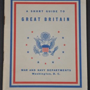
A Short Guide to Great Britain
Quick View -
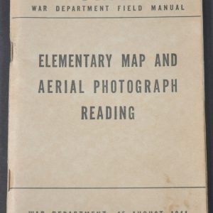
Elementary Map and Aerial Photograph Reading
$45.00 Quick View -
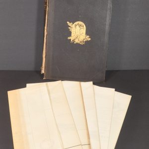
Atlas to Accompany Monograph XXVII on the Marquette Iron-Bearing District of Michigan
$250.00 Quick View -
Twentieth Annual Report of the United States Geological Survey…Part VII – Explorations in Alaska in 1898
Quick View