U.S. Midwest
Showing 253–270 of 1692 resultsSorted by latest
-
![Door County Fun Map [Title on Verso]](data:image/svg+xml,%3Csvg%20xmlns='http://www.w3.org/2000/svg'%20viewBox='0%200%20300%20300'%3E%3C/svg%3E)
Door County Fun Map [Title on Verso]
$95.00 Quick View -
Sold Out
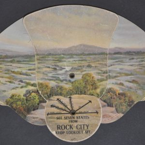
See Seven States from Rock City atop Lookout Mt.
Quick View -
Washington State University Pullman, Washington
$300.00 Quick View -
Sold Out
A Chart of Chicago
Quick View -
Randolph Street Chicago From Clark to State Streets in the Year 1865
$300.00 Quick View -
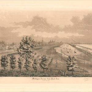
Michigan Avenue from Park Row in the Year 1865
$350.00 Quick View -
Universite Notre Dame du Lac a la Carte
$750.00 Quick View -
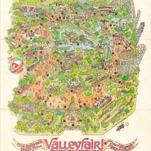
Valleyfair! Shakopee Minnesota
$175.00 Quick View -
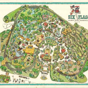
Six Flags Over Mid America
$150.00 Quick View -
Chippewa Valley Lands are the Best in the State [Wisconsin Real Estate]
$145.00 Quick View -
Chicago – A Century of Progress
$200.00 Quick View -
Sold Out
The Long Trip
Quick View -
Riverview Park Company 1967
$75.00 Quick View -
Sold Out
Souvenir of Chicago
Quick View -
Sold Out
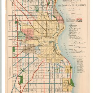
Map of Milwaukee County Showing System of State & County Trunk Highways
Quick View -
Sold Out
[Postcards from the S.S. Eastland Disaster]
Quick View -
Sale!
Map of the Settled Part of Wisconsin Territory [with] Observations on the Wisconsin Territory
$4,250.00Original price was: $4,250.00.$3,500.00Current price is: $3,500.00. Quick View -
Sold Out
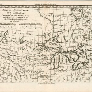
Partie Occidentale du Canada
Quick View
![Door County Fun Map [Title on Verso]](https://curtiswrightmaps.com/wp-content/uploads/map_16.19x18.98_08-20-25_inv007299c-1-300x300.jpg)


![Chippewa Valley Lands are the Best in the State [Wisconsin Real Estate]](https://curtiswrightmaps.com/wp-content/uploads/map_21.21x24.60_08-20-25_inv007274c-300x300.jpg)


![[Postcards from the S.S. Eastland Disaster]](https://curtiswrightmaps.com/wp-content/uploads/map_11.94x6.70_06-10-25_inv007165-300x300.jpg)
![Map of the Settled Part of Wisconsin Territory [with] Observations on the Wisconsin Territory](https://curtiswrightmaps.com/wp-content/uploads/DSC_1697-1-300x300.jpg)
show blocks helper