Navigational Charts
Showing 91–108 of 144 resultsSorted by latest
-

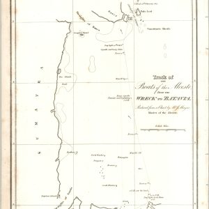
Track of the Boats of the Alceste from the Wreck to Batavia
$40.00 Quick View -
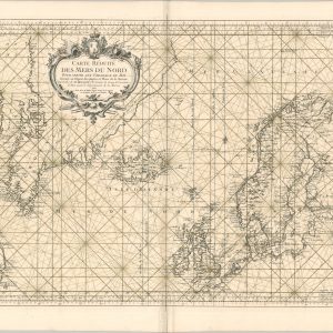
Carte Reduite Des Mers du Nord
Quick View -
Chicago Harbor & Bar, Illinois
Quick View -
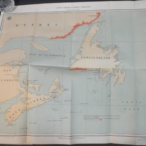
Diversion of Water from the Great Lakes and Niagara River
$250.00 Quick View -
Compilation of Reports of the Committee on Foreign Relations, United States Senate, 1789 – 1901, Vol. VIII
$225.00 Quick View -
Sale!
Fishing Chart of Lake Saint Clair
Quick View -
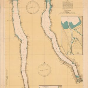
New York State Canals
$150.00 Quick View -
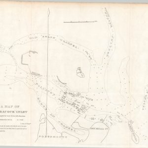
A Map of Ocracock Inlet [North Carolina]
$65.00 Quick View -
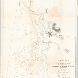
Harbour of Bridgeport, Conn.
$75.00 Quick View -
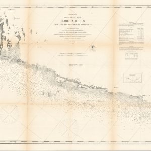
Preliminary Coast Chart No. 70 Florida Reefs from Long Key to Newfound Harbor Key
Quick View -
Preliminary Chart of Port Royal Entrance Beaufort and Chechesse Rivers South Carolina
$175.00 Quick View -
Preliminary Chart of Hudson River Sheet No. 3 From Poughkeepsie to Troy New York
$95.00 Quick View -
[Los Angeles/San Pedro]
$289.00 Quick View -
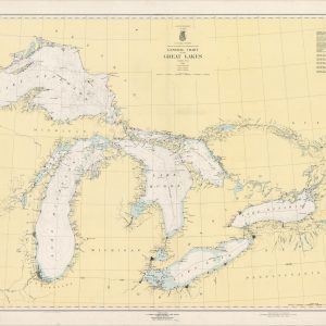
General Chart of the Great Lakes
Quick View -
Historical and Biographical Atlas of the New Jersey Coast Illustrated
Quick View -
A New and Particular Chart of St. George’s Channel and the Whole Coast Round Ireland…
$750.00 Quick View -
Puget Sound and San Juan Islands
Quick View -
[Charleston Harbor]
$325.00 Quick View