Curtis Wright Maps
  • Home
  • About
  • Contact
  • Terms & Conditions
  • Blog
  • Featured Maps
  • SALE
  • Shop
Select Page
×
Home / Products tagged “Navigational Charts” / Page 8

Navigational Charts

Showing 127–144 of 144 resultsSorted by latest

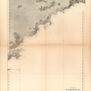
  • Mer Mediterranee…Cote de France de St. Tropez a Menton

    Mer Mediterranee…Cote de France de St. Tropez a Menton

    $125.00
    Quick View
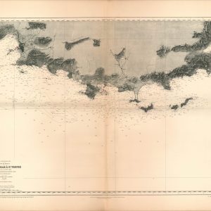
  • Mer Mediterranee…Cote de France de Marseille a St. Tropez

    Mer Mediterranee…Cote de France de Marseille a St. Tropez

    $125.00
    Quick View
  • Rio Bidasoa to Cape Penas

    Rio Bidasoa to Cape Penas

    $75.00
    Quick View
  • Puget Sound and San Juan IslandsSold Out

    Puget Sound and San Juan Islands

    Quick View
  • U.S. Air Force Transportation Chart GH-9 Northern Hemisphere

    U.S. Air Force Transportation Chart GH-9 Northern Hemisphere

    $200.00
    Quick View
  • A Correct Chart of the West Coast of Africa, Engraved for Malham's Naval Gazetteer

    A Correct Chart of the West Coast of Africa, Engraved for Malham’s Naval Gazetteer

    $150.00
    Quick View
  • Survey of the Allegheny River from Franklin to PittsburghSold Out

    Survey of the Allegheny River from Franklin to Pittsburgh

    Quick View
  • Preliminary Chart of Savannah River Georgia

    Preliminary Chart of Savannah River Georgia

    $75.00
    Quick View
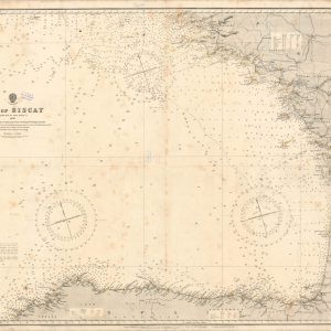
  • Bay of BiscaySold Out

    Bay of Biscay

    Quick View
  • Cape St. Vincent to the Strait of Gibraltar

    Cape St. Vincent to the Strait of Gibraltar

    $150.00
    Quick View
  • Sale! AAF Aeronautical Chart - St. John's River

    AAF Aeronautical Chart – St. John’s River

    $60.00 Original price was: $60.00.$45.00Current price is: $45.00.
    Quick View
  • AAF Aeronautical Chart - Yellowstone River

    AAF Aeronautical Chart – Yellowstone River

    $60.00
    Quick View
  • AAF Aeronautical Chart - Columbia RiverSold Out

    AAF Aeronautical Chart – Columbia River

    Quick View
  • AAF Aeronautical Chart - Platte River

    AAF Aeronautical Chart – Platte River

    $60.00
    Quick View
  • AAF Aeronautical Chart - Illinois River

    AAF Aeronautical Chart – Illinois River

    $60.00
    Quick View
  • Carte Generale des Decouvertes Faites en 1787 Dans Les Mers de Chine

    Carte Generale des Decouvertes Faites en 1787 Dans Les Mers de Chine

    $650.00
    Quick View
  • Regional Aeronautical Chart [Pacific Northwest]

    Regional Aeronautical Chart [Pacific Northwest]

    $195.00
    Quick View
  • Sailing Down Boston BaySold Out

    Sailing Down Boston Bay

    Quick View
  • ←
  • 1
  • 2
  • 3
  • …
  • 5
  • 6
  • 7
  • 8
show blocks helper

CONTACT

curtis@curtiswrightmaps.com
(812) 881-1700


CURTIS WRIGHT MAPS IS A CHICAGO AREA MAP DEALER, SPECIALIZING IN ANTIQUE MAPS

Sign up for email updates

* indicates required

© 2026 Curtis Wright Maps. All Rights Reserved. Design by M Rock Creative.