Navigational Charts
Showing 37–54 of 144 resultsSorted by latest
-
Sale!

Examination of Improvements at Aransas Pass, Texas
Original price was: $250.00.$195.00Current price is: $195.00. Quick View -
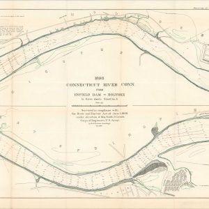
Survey of Connecticut River Between Hartford, Conn., and Holyoke, Mass.
$125.00 Quick View -
Flood Control and Navigation Maps of the Mississippi River Cairo, Illinois to the Gulf of Mexico
Quick View -
Coast Chart No. 107 Matagorda Bay Texas
$95.00 Quick View -
English Channel (La Manche) Eastern Sheet
$850.00 Quick View -
Wabash River and Valley from Terre Haute, Ind. to Mouth
$350.00 Quick View -
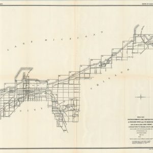
Encroachments and Obstructions in the Chicago River and on the Chicago Lake Front
$1,500.00 Quick View -
Lake Survey Center Recreational Craft Series Chart No. 750 Chicago and South Shore of Lake Michigan
$75.00 Quick View -
Washington (T-9)
Quick View -
Winston-Salem (S-8)
$50.00 Quick View -
Chattanooga (R-7)
$50.00 Quick View -
Boise (V-2)
$50.00 Quick View -
Adak Island to Attu Island, Aleutian Islands No. 1
Quick View -
Little Rock (R-6)
$50.00 Quick View -
Fort Heiden, Alaska to Adak Island, Aleutian Islands No. 2
Quick View -
[WWII Archive of Air Transport Navigator G.H. Logan]
Quick View -
Star Trek Maps
Quick View -
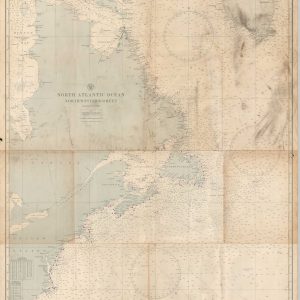
North Atlantic Ocean Northwestern Sheet
$125.00 Quick View