Navigational Charts
Showing 55–72 of 144 resultsSorted by latest
-

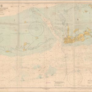
Key West Harbor and Approaches
$125.00 Quick View -
Pilot Chart of the North Pacific Ocean
$110.00 Quick View -
[Japanese Map of Brown Island/Eniwetok Atoll]
Quick View -
Hudson River Fort Washington Point to Yonkers Anchorage Chart “K” Sheet 2
$450.00 Quick View -
Wabash River and Valley from Terre Haute, Ind. To Mouth, in 13 Charts
Quick View -
Chart of Santa Monica Bay California
$175.00 Quick View -
Log of the “Bermuda Triangle”
Quick View -
[Aviation Map of Southern Philippines]
Quick View -
Supplement to the Report of the Chief of Engineers – Reports of the Mississippi River Commission and Missouri River Commission
$325.00 Quick View -
Atlas Illustrating Report of March 20, 1909, of Board on Examination and Survey of Mississippi River
Quick View -
Preliminary Map of the Lower Mississippi River from the Mouth of the Ohio River to the Head of the Passes
Quick View -
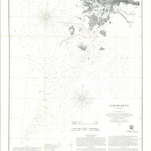
Cedar Keys Florida
$110.00 Quick View -
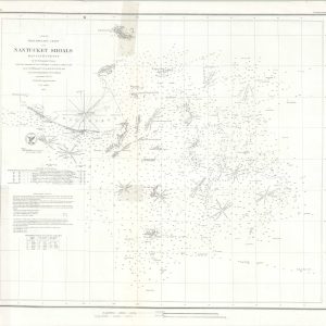
Preliminary Chart of Nantucket Shoals Massachusetts
$95.00 Quick View -
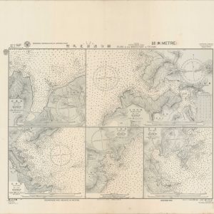
Plans in the North Part of Tusima
$195.00 Quick View -
Okinawa Shima (Southern Part)
$750.00 Quick View -
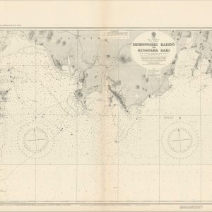
Shimonoseki Kaikyo to Kusayama Zaki
$195.00 Quick View -
Tokuyama Wan and Approaches
$225.00 Quick View -
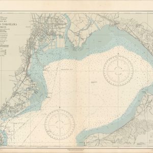
Tokyo and Yokohama Districts
$225.00 Quick View