
U.S. Southeast
Showing 19–36 of 779 resultsSorted by latest
-

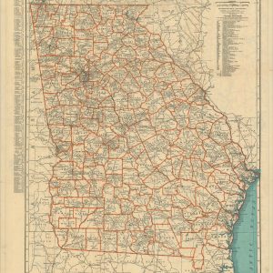
Rand McNally Standard Map of Georgia
$100.00 Quick View -
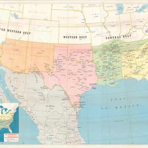
Map Showing Cotton Growing Regions of the United States and Mexico
$125.00 Quick View -

New Orleans
$95.00 Quick View -
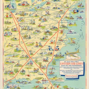
The Great Silver Fleet Eastern Air Lines East of the Mississippi
$275.00 Quick View -

Historic Algiers The Heart of New Orleans
$200.00 Quick View -
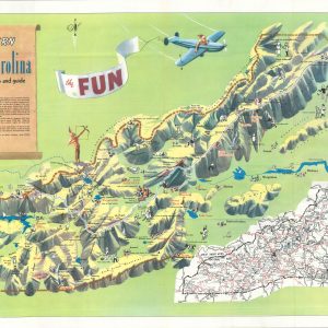
Western North Carolina
$250.00 Quick View -
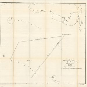
Survey of Atchafalaya Bay
$145.00 Quick View -
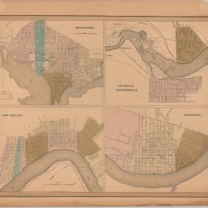
Washington, Louisville and Jefferson, New Orleans, and Cincinnati
$60.00 Quick View -
[Locations of U.S. Naval Coal Depots]
$225.00 Quick View -
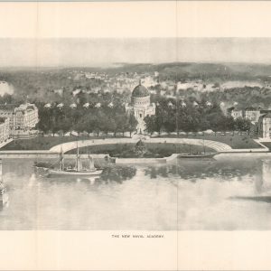
[Three Views of the ‘New’ U.S. Naval Academy]
$200.00 Quick View -
Plan Showing Site of Naval Station, Charleston, S.C.
$245.00 Quick View -
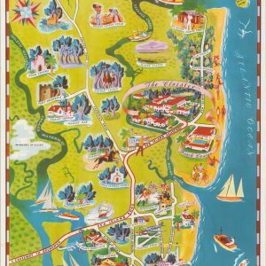
Orlando Winter Park & Maitland with adjoining territory
$95.00 Quick View -
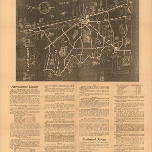
St. John’s – Florida’s First County [and] Map of Saint Augustine Showing Points of Interest
$185.00 Quick View -
Treasure Hunter’s Tourist Map of Fishing, Boating, Skin Diving on the Florida Keys, Marathon and Key West
$75.00 Quick View -
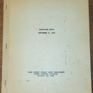
Hurricane Betsy September 8, 1965 [Dade County Water Control Division Report]
$235.00 Quick View -
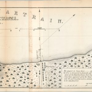
Sketch of the Pontchartrain Harbour & Breakwater
$145.00 Quick View -
U.S. Coast Survey A.D. Bache Superintendent Sketch D Showing the Progress of Section IV 1845 to 1852 [Albemarle and Pamlico Sounds]
$80.00 Quick View -
Sea Island and Saint Simons
$185.00 Quick View





show blocks helper