Maps
Showing 1801–1818 of 4572 results
-

Map of the Territories & Pacific States to Accompany Across the Continent by Samuel Bowles
$95.00 Quick View -
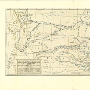
Map Showing Routes of Early Explorations and Expeditions in the Southwest
$89.00 Quick View -

Sketch Shewing the Route of the Recent Arctic Land Expedition
$80.00 Quick View -
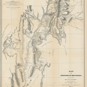
Map of the Territory of New Mexico made by order of Brig. Gen. S.W. Kearney
$695.00 Quick View -
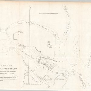
A Map of Ocracock Inlet [North Carolina]
$65.00 Quick View -

Diagram of the Surveying District South of Tennessee
$250.00 Quick View -

Harbour of Bridgeport, Conn.
$75.00 Quick View -
 Sold Out
Le Detroit de Magellan
Quick View -
 Sold Out
Geographical, Statistical, and Historical Map of Georgia
Quick View -
 Sold Out
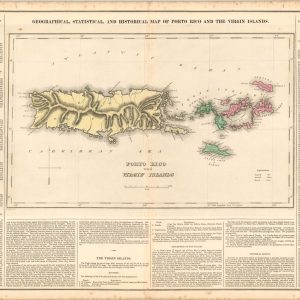
Geographical, Statistical, and Historical Map of Porto Rico and the Virgin Islands
Quick View -
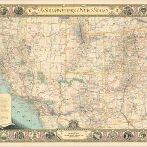
The Southwestern United States
$39.00 Quick View -

Discoveries of the American Arctic Expedition
$45.00 Quick View -
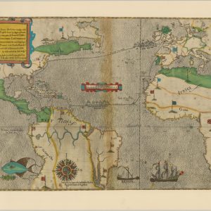
Map of the Treasure Seas
$110.00 Quick View -
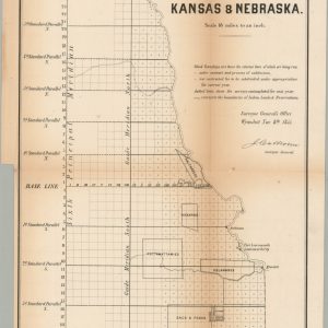
No. 1 Sketch of the Public Surveys in Kansas & Nebraska
$250.00 Quick View -

Exploration and Discovery Visual-History Wall Map
$75.00 Quick View -
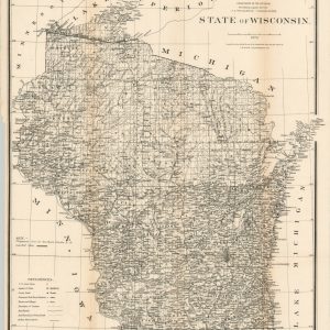
State of Wisconsin
$95.00 Quick View -
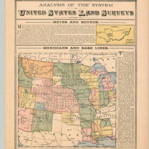 Sold Out
Analysis of the System of United States Land Surveys
Quick View -
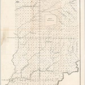
A Sketch of the Public Surveys in Indiana
$65.00 Quick View
show blocks helper