Map Set
Showing 505–522 of 544 resultsSorted by latest
-

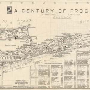
[Self-Escorted Tour to the Century of Progress Exposition]
$165.00 Quick View -
Bird’s Eye View of Chicago as it was before the Great Fire [and] Chicago in Ruins
Quick View -
Report of the Chicago Traction and Subway Commission
$550.00 Quick View -
Map and Plan of Chicago Harbor, Illinois.
$250.00 Quick View -
Chicago & West Town Railways, Inc.
$125.00 Quick View -
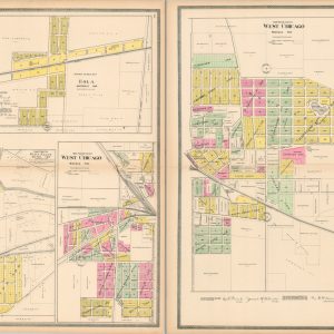
West Chicago [East and West Part of the City]
$110.00 Quick View -
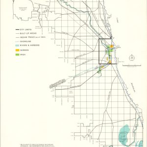
Chicago Community Settlement Maps
Quick View -
[Complete Guide to the Star Trek Universe]
Quick View -
Complete Set of Six NavWarMaps
Quick View -
Tentative Technical Manual Use of Foreign Maps
Quick View -
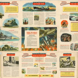
[ESSO War Maps]
Quick View -
[Collection of Airline System Maps]
$110.00 Quick View -
Official Road Map of the State Trunk Line System of Michigan
Quick View -
[Schematic Routes of the Crimea]
$90.00 Quick View -
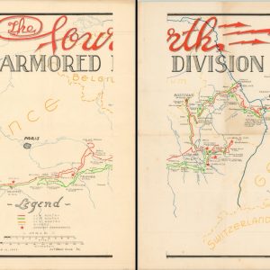
The Fourth Armored Division
Quick View -
“Hell on Wheels” [Maps of the Second Armored Division]
Quick View -
Twentieth Annual Report of the United States Geological Survey…Part VII – Explorations in Alaska in 1898
Quick View -
[Series of Comparative Diagrams Showing Natural Resources]
$50.00 Quick View