Rails
Showing 91–108 of 764 resultsSorted by latest
-

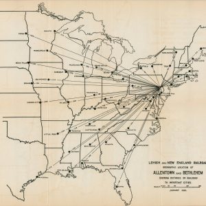
Lehigh and New England Railroad Geographic Location of Allentown and Bethlehem Showing Distance by Railroad to Important Cities
$75.00 Quick View -
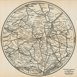
Lehigh and New England Railroad Allentown and Bethlehem and Contiguous Territory
$75.00 Quick View -
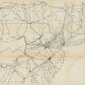
Principal Highways Environing Allentown and Bethlehem Pennsylvania
$95.00 Quick View -
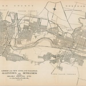
Lehigh and New England Railroad Allentown and Bethlehem Showing Available Industrial Sites
$75.00 Quick View -
Lehigh and New England Railroad
$85.00 Quick View -
Map of the Rock Island Lines and Connections
$95.00 Quick View -
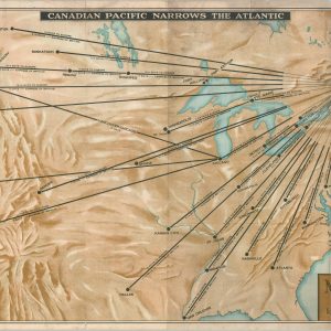
Map of Travel Time to and From Europe via the Shorter St. Lawrence Seaway
$195.00 Quick View -
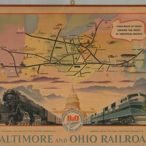
Baltimore and Ohio Railroad
$110.00 Quick View -
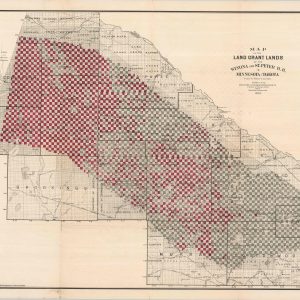
Map of the Land Grants of the Winona and St. Peters R.R. in Minnesota and Dakota
$395.00 Quick View -
St. Paul, Minneapolis, and Manitoba Ry. Manitoba – Pacific Route
$650.00 Quick View -
The Texas and Pacific Railway and Connections
$80.00 Quick View -
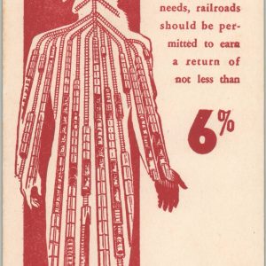
Uncle Sam’s Arteries
$50.00 Quick View -
The Union Pacific West [Western Wonderlands]
$65.00 Quick View -
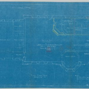
C.C.C. & St.L. Passenger Station for Mt. Carmel, Illinois
$200.00 Quick View -
Nester’s New York City Maps
$45.00 Quick View -
Sale!
Green Line [Los Angeles, California]
$300.00Original price was: $300.00.$250.00Current price is: $250.00. Quick View -
Sold Out
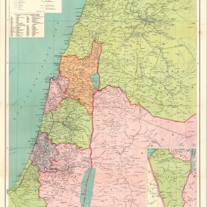
Palestine with Southern Syria and Western Trans-Jordan
Quick View -
Sold Out
In and About Salt Lake City The Mormon Paradise
Quick View


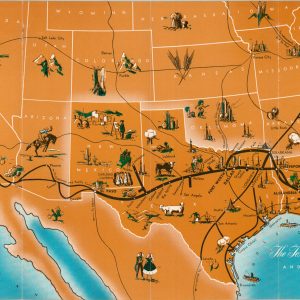
![The Union Pacific West [Western Wonderlands]](https://curtiswrightmaps.com/wp-content/uploads/map_18.05x23.87_08-20-25_inv007309c-300x300.jpg)

![Green Line [Los Angeles, California]](https://curtiswrightmaps.com/wp-content/uploads/map_27.35x36.16_08-20-25_inv007268c-300x300.jpg)

show blocks helper