History
Showing 469–486 of 2285 results
-

County Atlas of Hampshire Massachusetts
$600.00 Quick View -

Plat Book of Columbia County, Wisconsin.
$400.00 Quick View -

Illustrated Historical Atlas of the County of Kent, Michigan
$400.00 Quick View -

Standard Atlas of Sauk County Wisconsin
$350.00 Quick View -

Atlas of the State of Illinois
$550.00 Quick View -
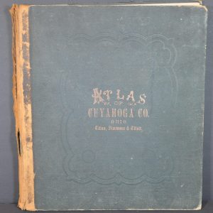
Atlas of Cuyahoga County Ohio
$600.00 Quick View -
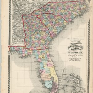
County Map of North Carolina, South Carolina, Georgia, and Florida
$140.00 Quick View -
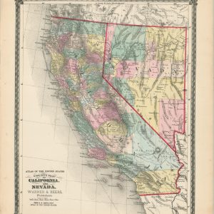
County Map of California and Nevada.
$140.00 Quick View -

County Map of Idaho, Montana, and Wyoming
$140.00 Quick View -

Map of the County of Oneida
$175.00 Quick View -
 Sold Out
Nouvelle Carte du Mexique, du Texas, et D’Une Partie des Etats Limitrophies.
Quick View -
 Sold Out
The Middle States and Western Territories of the United States Exhibiting the Seat of the Western War
Quick View -

Authentic Map of Indian Tribes of the United States, Showing Basic Tribe Locations and Cultural Areas Prior to White Settlement and Present
$75.00 Quick View -
 Sold Out
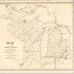
Map of the Northern parts of Ohio, Indiana and Illinois with Michigan
Quick View -
 Sold Out
Pocket Map Campaign and Historical Statistics of the United States [Title on Cover]
Quick View -
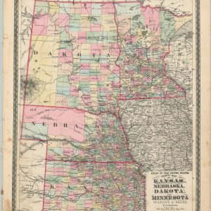 Sold Out
County Map of Kansas, Nebraska, Dakota, and Minnesota
Quick View -
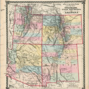 Sold Out
County Map of Colorado, Utah, New Mexico, and Arizona
Quick View -
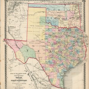 Sold Out
County Map of Texas, and Indian Territory
Quick View
show blocks helper