American Empire
Showing 1–18 of 264 resultsSorted by latest
-
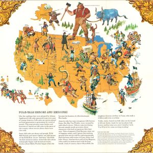
Folk-Tale Map of the United States
$300.00 Quick View -
![Report of the Board of Road Commissioners for Alaska [with] Map of Alaska Showing Roads and Trails](https://curtiswrightmaps.com/wp-content/uploads/map_17.07x21.91_08-25-25_inv007501c-300x300.jpg)
Report of the Board of Road Commissioners for Alaska [with] Map of Alaska Showing Roads and Trails
$225.00 Quick View -
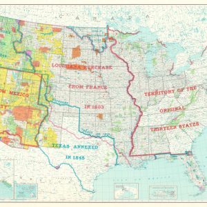
![[Map of the United States Including Western Territories]](https://curtiswrightmaps.com/wp-content/uploads/map_18.89x36.87_08-25-25_inv007489c-300x300.jpg)
[Map of the United States Including Western Territories]
$850.00 Quick View -
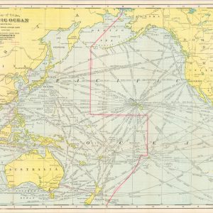
Map of the Pacific Ocean Showing Distances between Principal Points and the International Date Line
$250.00 Quick View -
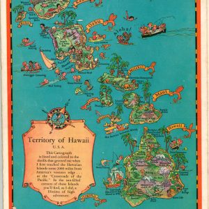
Colored Cartograph Map Folder with Aloha and Cordial Greetings from Hawaii U.S.A.
$200.00 Quick View -
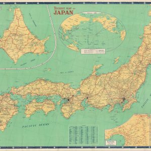
Tourist Map of Japan
$110.00 Quick View -
United States of America Showing the Extent of Public Land Surveys
$95.00 Quick View -
![United States of America [Picture Map of the U.S.A.]](https://curtiswrightmaps.com/wp-content/uploads/map_24.67x37.23_08-20-25_inv007359c-300x300.jpg)
United States of America [Picture Map of the U.S.A.]
$150.00 Quick View -
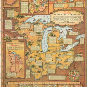
The Old Northwest Territory
$75.00 Quick View -

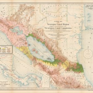
Report of the Nicaragua Canal Commission 1897 – 1899 Maps and Profiles
$475.00 Quick View -
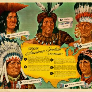
Great American Indian Leaders
$200.00 Quick View -
The Long Trip
Quick View -
Have You Ever Wondered?
$150.00 Quick View -
Sale!
A Caution to Snakes
Original price was: $125.00.$95.00Current price is: $95.00. Quick View -
Sale!
Map of the Settled Part of Wisconsin Territory [with] Observations on the Wisconsin Territory
Original price was: $4,250.00.$3,500.00Current price is: $3,500.00. Quick View -
Map of the United States Drawn from the most approved Surveys
$350.00 Quick View -
Sale!
The Indian and the Northwest
Original price was: $125.00.$95.00Current price is: $95.00. Quick View -
Mitchell’s Traveller’s Guide through the United States
$400.00 Quick View


![Map of the Settled Part of Wisconsin Territory [with] Observations on the Wisconsin Territory](https://curtiswrightmaps.com/wp-content/uploads/DSC_1697-1-300x300.jpg)