Blueprints
Showing 19–36 of 76 resultsSorted by latest
-

Exhibit A C.C.C. & St.L. Ry. Proposed Joint Track Facilities White River R.R. – P. & E. Ry. & C.C.C. & St.L. Ry. Indianapolis, IND
$275.00 Quick View -
Sale!
C.C.C. & St.L. Ry. Indianapolis Track Elevation Location of Property on Which Damages are Claimed Indianapolis – IND
Original price was: $450.00.$325.00Current price is: $325.00. Quick View -
Location Plan Proposed Waste Treatment Facilities
$75.00 Quick View -
Illinois Division Station Sketches “Indiana Territory”
$145.00 Quick View -
Penn Central Company Proposed Lease to Fruit Growers Express Company at Indianapolis, Indiana
$95.00 Quick View -
“Traced From” Plan & Profile of Canal from Lick Creek to Dam Plan from Old Map Field Sketch by D. Laudermilk
$125.00 Quick View -
Proposed Re-Arrangement of Tracks for American Creosoting Co. Plant Indianapolis, IN
$175.00 Quick View -
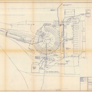
C.C.C. & St.L. Ry. Layout of Company Property & Shops Beech Grove, Ind.
$1,100.00 Quick View -
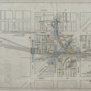
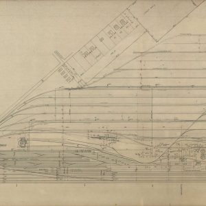
[Maps of the Peoria & Eastern Railway in Crawfordsville, Indiana]
$295.00 Quick View -
Sale!
Proposed Track for Wabash College Crawfordsville, IND.
Original price was: $250.00.$195.00Current price is: $195.00. Quick View -
Sidetrack Agreement between Max Katz & Sons Realty Co. and the New York Central Railroad
$125.00 Quick View -
Private Side Track Agreement – Indianapolis Ice and Fuel Company, Inc.
$225.00 Quick View -
Plat of the H. Austin Hacienda Containing 22,140 acres of land in Colorado and Fayette Counties Texas
Quick View -
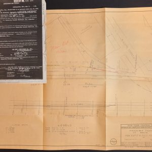
Plan and Profile of Proposed State highway “AD” Project No. 3 [Jefferson Proving Grounds, Indiana]
$450.00 Quick View -
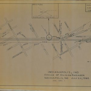
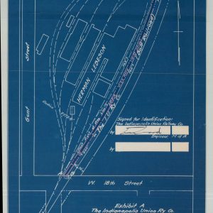
Indianapolis Union Railway Co. Belt Railroad Plan to Accompany Lease with Herman Lebeson
$125.00 Quick View -
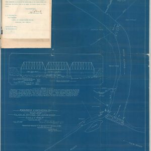
Kanawha & Michigan Ry. Map and Plan of Bridge for Crossing Gauley River
$475.00 Quick View -
Portion of Menalto Tract – San Mateo County
$550.00 Quick View -
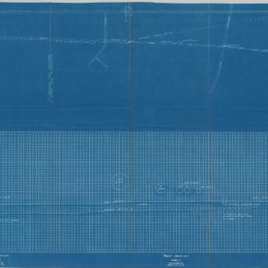
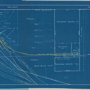
A Plat and Profile Book for Civil Engineers and Contractors [Kanawha & West Virginia Railroad]
$650.00 Quick View


![[Maps of the Peoria & Eastern Railway in Crawfordsville, Indiana]](https://curtiswrightmaps.com/wp-content/uploads/map_14.25x8.78_05-14-25_inv006862-300x300.jpg)


![Plan and Profile of Proposed State highway "AD" Project No. 3 [Jefferson Proving Grounds, Indiana]](https://curtiswrightmaps.com/wp-content/uploads/map_24.04x33.80_04-15-25_inv006831c-300x300.jpg)

![A Plat and Profile Book for Civil Engineers and Contractors [Kanawha & West Virginia Railroad]](https://curtiswrightmaps.com/wp-content/uploads/DSC_1528-1-300x300.jpg)