Central America
Maps of Central America from Guatemala to Panama.
Showing 1–18 of 85 resultsSorted by latest
-

Andrees Allgemeiner Handatlas
$275.00 Quick View -
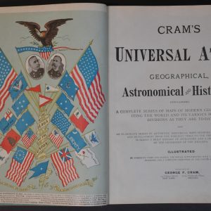
Cram’s Universal Atlas
Quick View -
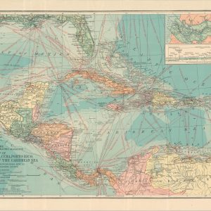
Map of Central America, Cuba, Porto Rico, and the Islands of the Caribbean Sea
$60.00 Quick View -
Atlante Geografico Metodico
$200.00 Quick View -
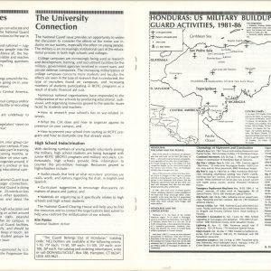
Honduras: U.S. Military Buildup and National Guard Activities, 1981 – 86.
$200.00 Quick View -
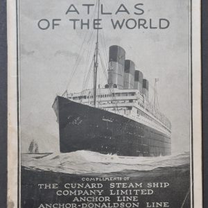
Atlas of the World
$110.00 Quick View -
Rand McNally Cosmopolitan World Atlas Centennial Edition
Quick View -
An Exact Draught of the Castle of San Lorenzo the Village & River of Chagre
$90.00 Quick View -
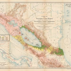
Report of the Nicaragua Canal Commission 1897 – 1899 Maps and Profiles
$475.00 Quick View -
Mitchell’s New General Atlas
Quick View -
Rand McNally Standard Map of Central America
$100.00 Quick View -
Lock Canal Project Map Showing Line of Proposed Lock Canal with Summit Elevation at 85 Feet [Panama Canal]
Quick View -
[Collection of WWII Maps from the Chicago Daily Tribune]
Quick View -
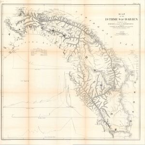
Reports of Explorations and Surveys to Ascertain the Practicability of a Ship-Canal Between the Atlantic and Pacific Oceans by Way of The Isthmus of Darien
$275.00 Quick View -
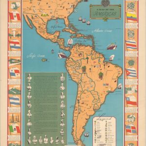
Flags of the Americas
Quick View -
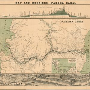
Map and Workings – Panama Canal
Quick View -
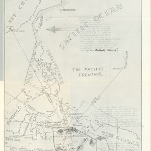
International Communism (Communist Designs on Indonesia and The Pacific Frontier) Staff Consultation with Gen. Charles A. Willoughby
$325.00 Quick View -
An Accurate Map of North America [and] An Accurate Map of South America
$250.00 Quick View


![Lock Canal Project Map Showing Line of Proposed Lock Canal with Summit Elevation at 85 Feet [Panama Canal]](https://curtiswrightmaps.com/wp-content/uploads/map_32.31x50.59_05-07-25_inv006916c-300x300.jpg)
![[Collection of WWII Maps from the Chicago Daily Tribune]](https://curtiswrightmaps.com/wp-content/uploads/DSC_1587-1-300x300.jpg)
![An Accurate Map of North America [and] An Accurate Map of South America](https://curtiswrightmaps.com/wp-content/uploads/Inv6157-300x300.jpg)