Empire
Showing 1171–1179 of 1179 resultsSorted by latest
-
![Sketch of A Geographical Rout of A Great Railway [with] Map of the United States Drawn and Engraved to Illustrate Hart's Geographical Exercises](data:image/svg+xml,%3Csvg%20xmlns='http://www.w3.org/2000/svg'%20viewBox='0%200%20300%20300'%3E%3C/svg%3E)
Sketch of A Geographical Rout of A Great Railway [with] Map of the United States Drawn and Engraved to Illustrate Hart’s Geographical Exercises
$625.00 Quick View -
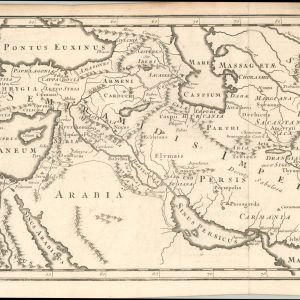
Imperium Assyriorum
$75.00 Quick View -
Sold Out
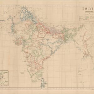
India Showing Railways Open and Under Construction March 31 1944
Quick View -
Sold Out
Geographical, Statistical and Historical Map of Upper and Lower Canada, and the Other British Possessions of North America
Quick View -
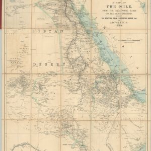
A Map of the Nile from the Equatorial Lakes to the Mediterranean
$295.00 Quick View -
Sold Out
Johnston’s Special Map of South Africa, 1902
Quick View -
Sold Out
Map of Cape Town
Quick View -
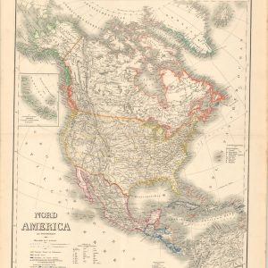
Nord America mit Westindien
$125.00 Quick View -
Sold Out
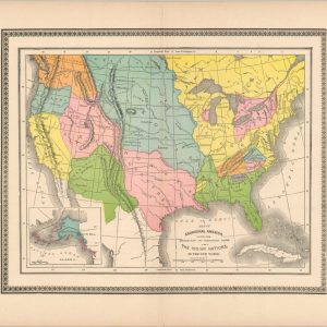
Map of Aboriginal America Showing the Distribution and Territorial Limits of the Indian Nations in the New World
Quick View
![Sketch of A Geographical Rout of A Great Railway [with] Map of the United States Drawn and Engraved to Illustrate Hart's Geographical Exercises](https://curtiswrightmaps.com/wp-content/uploads/Redfield4-scaled-300x300.jpg)


show blocks helper