Pennsylvania
Showing 1–18 of 168 resultsSorted by latest
-

Print Blocks of the Battle of Gettysburg
$295.00 Quick View -
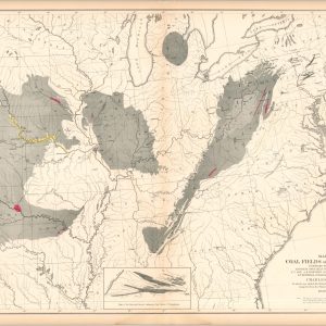
Map of the Oil Fields [Scientific American]
$75.00 Quick View -
Map of Rolling Mill Mine, Showing the Locomotive Tunnel
$110.00 Quick View -
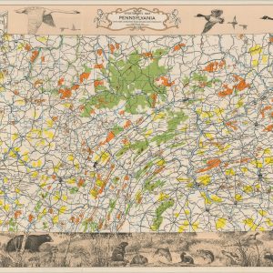
[Reference Maps of the International Correspondence School]
$350.00 Quick View -
Sportsman’s Map of Pennsylvania
$95.00 Quick View -
Map of the Coal Fields of the United States
$100.00 Quick View -
Mileage Map of Pennsylvania and Ohio
$95.00 Quick View -
Souvenir Cyclorama of the Battle of Gettysburg
Quick View -
[John Wanamaker Maps of Philadelphia]
$350.00 Quick View -
The Delaware and Hudson Company and its Freight Connections
$165.00 Quick View -
Map Cleveland Boston New York via Roosevelt Highway – Pennsylvania
Quick View -
A Fun-Roving Map of Pine Creek: The Grand Canyon of Pennsylvania
Quick View -
Motorists ‘Save a Day’ Via the Hudson River Night Line
$110.00 Quick View -
Motor Tours The Guide You Need Giving Automobile Routes of New York New England, Canada, and States South to Washington, and West to Chicago
$75.00 Quick View -
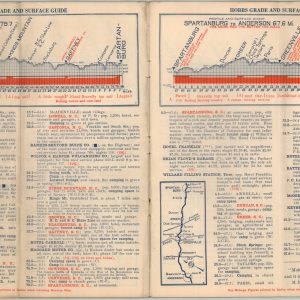
Mohawk-Hobbs Grade and Surface Guide – National Dixie Highway and Other Roads New York – Jacksonville
$125.00 Quick View -
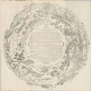
[Chicago Motor Club Tour Packet – Chicago to New York]
$200.00 Quick View -
Souvenir Folder of the Roosevelt Highway and Sullivan Trail Route
$40.00 Quick View -
Fast Motor Routes between New England and the South, the West and Atlantic Coast via the New Castle-Pennsville Ferry
$95.00 Quick View

![Map of the Oil Fields [Scientific American]](https://curtiswrightmaps.com/wp-content/uploads/map_13.14x16.47_02-16-26_inv008321c-scaled-e1771940891381-300x300.jpg)

![[Reference Maps of the International Correspondence School]](https://curtiswrightmaps.com/wp-content/uploads/map_23.37x27.15_02-17-26_inv008214c-300x300.jpg)
![[John Wanamaker Maps of Philadelphia]](https://curtiswrightmaps.com/wp-content/uploads/map_16.89x26.79_01-02-26_inv008050-300x300.jpg)

![[Chicago Motor Club Tour Packet - Chicago to New York]](https://curtiswrightmaps.com/wp-content/uploads/map_28.39x38.08_10-06-25_inv007659c-300x300.jpg)

