New England
Showing 1–18 of 69 resultsSorted by latest
-
![A Map of New-England [1826 reprint]](data:image/svg+xml,%3Csvg%20xmlns='http://www.w3.org/2000/svg'%20viewBox='0%200%20300%20300'%3E%3C/svg%3E)
A Map of New-England [1826 reprint]
$300.00 Quick View -
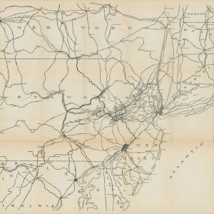
[Reference Maps of the International Correspondence School]
$350.00 Quick View -
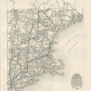
The Official Maps of New England
$50.00 Quick View -
Automobile Map of New England Showing the Ideal Tour
$175.00 Quick View -
Boston and Maine R.R. Operating Divisions
$60.00 Quick View -
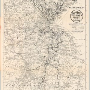
The Bay State Street Railway Company 940 Miles of Lines in New England
$125.00 Quick View -
The Air Line Shortest, Fastest Scenic Motor Route Between New York and Boston
$350.00 Quick View -
Part of North America Comprehending the Course of The Ohio, New England, New York, New Jersey, Pennsylvania, Maryland, Virginia, Carolina, & Georgia
$300.00 Quick View -
Portfolio of Excursion Routes by Rail, Stage, River and Ocean Steamers as Furnished by the Management of the Worcester, Nashua & Rochester Railroad Portland & Worcester Line
$350.00 Quick View -
Lehigh and New England Railroad
$85.00 Quick View -
Carte qui Contient une Description des Îles & Terres Que les Anglois Possedent dans l’Amerique Septentrionale…
$200.00 Quick View -
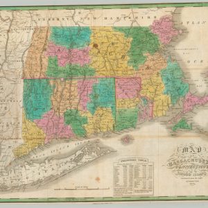
Map of Massachusetts Connecticut and Rhode Island
$245.00 Quick View -
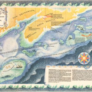
A Trawler’s Chart of the North Atlantic Fishing Grounds
$50.00 Quick View -
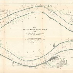
Survey of Connecticut River Between Hartford, Conn., and Holyoke, Mass.
$125.00 Quick View -
The New England Coast in Maps and Stories
Quick View -
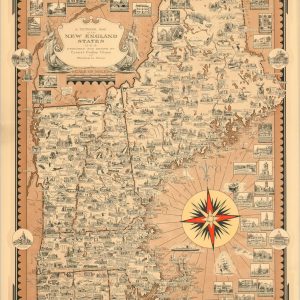
A Pictorial Map of the New England States
$250.00 Quick View -
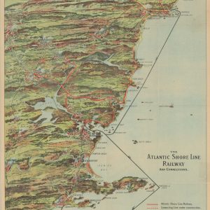
The Atlantic Shore Line Railway and Connections
Quick View -
Off the Ancient Track A Lovecraftian Guide to New England and Adjacent New York
Quick View
![A Map of New-England [1826 reprint]](https://curtiswrightmaps.com/wp-content/uploads/map_18.13x12.95_02-17-26_inv008233.1c-300x300.jpg)
![[Reference Maps of the International Correspondence School]](https://curtiswrightmaps.com/wp-content/uploads/map_23.37x27.15_02-17-26_inv008214c-300x300.jpg)