
Transportation
Showing 55–72 of 3610 resultsSorted by latest
-

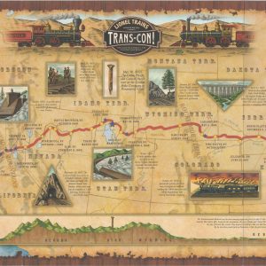
Lionel Trains Presents Trans-Con!
$50.00 Quick View -
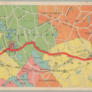
Map of the Brockton & Plymouth Street Railways [with] By Trolley and Inland Alongshore to Plymouth.
$175.00 Quick View -
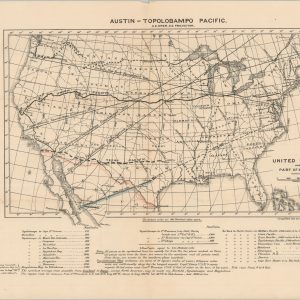
Austin-Topolobampo Pacific
$350.00 Quick View -

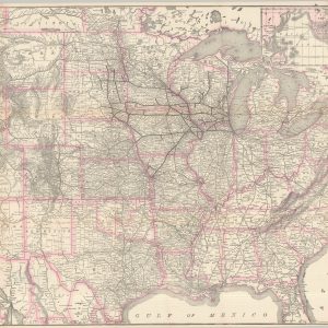
Map of the United States of America Showing the Rail Roads
$150.00 Quick View -
 Sold Out
Report upon the Preliminary Survey of the First Two Divisions of the Sheffield & Savannah Railroad with a Map Showing its Connections
Quick View -
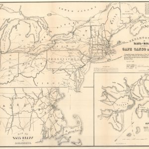
Skeleton Map of Rail-Roads between Cape Canso and St. Louis
$500.00 Quick View -

The Baltimore and Ohio System General Instructions No. 79 Specifications for Drawing
$50.00 Quick View -
[Land Grant Map of the Northern Pacific]
$185.00 Quick View -
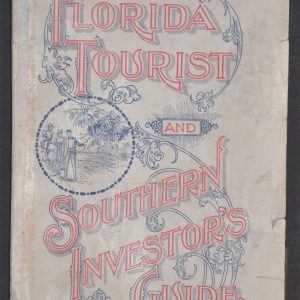
Florida Tourist and Southern Investor’s Guide
$400.00 Quick View -
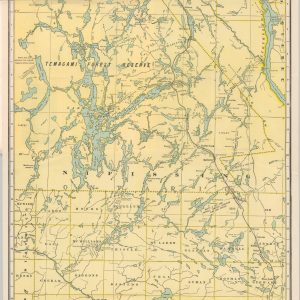
Grand Trunk Railway System Map of Lake Nipissing District and Temagami Region Ontario
$175.00 Quick View -
Boston and Maine Railroad Among the Mountains [with] Bird’s-Eye Map of the White Mountains reached by Boston & Maine R.R.
$150.00 Quick View -
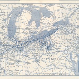
Nickel Plate Road
$70.00 Quick View -
Sold Out
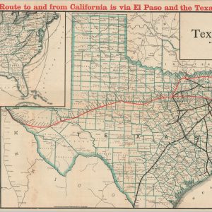
Map of the Texas & Pacific Railway “Gould System” Lines and Connections
Quick View -
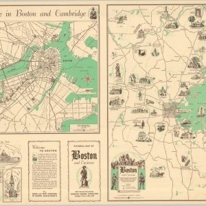
Pictorial Map of Boston and Environs
$165.00 Quick View -
Map of Bessemer City N.C.
$900.00 Quick View -
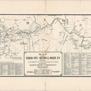
Map of the Kansas City, Mexico & Orient Ry. Showing the Located and Preliminary Lines through the Republic of Mexico
$450.00 Quick View -
Map of the Pennsylvania System of Railroads and their Connections
$225.00 Quick View -
Map of the Chicago-Milwaukee & St. Paul Railway and Connections
$300.00 Quick View




show blocks helper