U.S. Midwest
States west of Pennsylvania and north of Kentucky, including the Dakotas, Nebraska and Kansas.
Showing 1–18 of 1470 resultsSorted by latest
-
 Sold Out
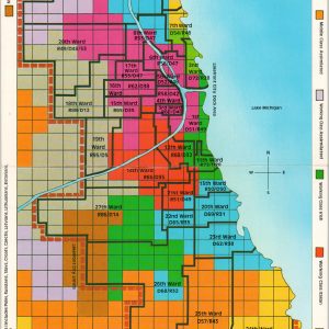
Ward Map Lakefront City (1920 – 1940)
Quick View -
 Sold Out
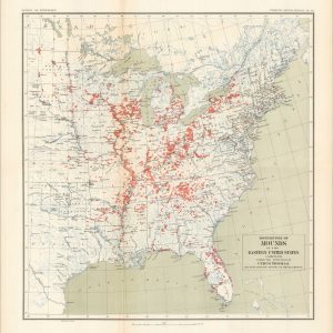
Distribution of Mounds in the Eastern United States
Quick View -
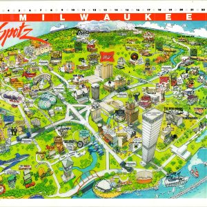
Milwaukee Hot Spots
$110.00 Quick View -
 Sold Out
1960 Mobil Economy Run 5th Day Des Moines to Minneapolis
Quick View -
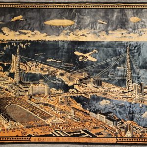
A Century of Progress – Chicago 1933
$575.00 Quick View -
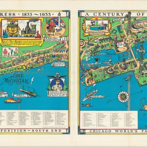
A Geographical Map of the Century of Progress Exposition Held in Chicago, Illinois 1933
$2,400.00 Quick View -

The Pennsylvania Railroad Western Region Logansport Division Location of Telephone Lines
$350.00 Quick View -
[Lake Geneva, WI Trade Card]
$95.00 Quick View -
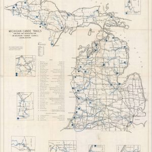
Michigan Canoe Trails
$110.00 Quick View -
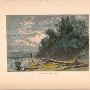
The Shore at Lake Forest
$45.00 Quick View -
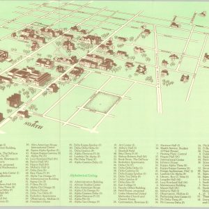
Campus Guide DePauw University
$60.00 Quick View -
Eagle’s-Eye View of Weber City (Inc.)
$75.00 Quick View -
Geneva Lakes Area
$40.00 Quick View -
New York Central Railroad Ohio Central Division Condensed Profile
$295.00 Quick View -
[U.S. Highway 1 Strip Map]
$75.00 Quick View -
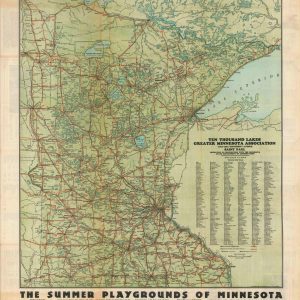
Minnesota – Land of Ten Thousand Lakes
$195.00 Quick View -
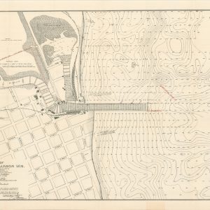
Map of Kewaunee Harbor, Wis.
$95.00 Quick View -
Hutchinson and 75 Miles Around [and] Railroad Map of Kansas
$495.00 Quick View

![[Lake Geneva, WI Trade Card]](https://curtiswrightmaps.com/wp-content/uploads/map_3.23x5.63_08-25-25_inv007496c-e1756383520522-300x300.jpg)


![[U.S. Highway 1 Strip Map]](https://curtiswrightmaps.com/wp-content/uploads/Inv7437-300x300.jpg)
![Hutchinson and 75 Miles Around [and] Railroad Map of Kansas](https://curtiswrightmaps.com/wp-content/uploads/map_15.41x21.83_08-20-25_inv007385c-300x300.jpg)
show blocks helper