Coal
Showing 1–18 of 40 resultsSorted by latest
-

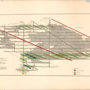
Map of Rolling Mill Mine, Showing the Locomotive Tunnel
$110.00 Quick View -
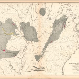
Map of the Coal Fields of the United States
$100.00 Quick View -
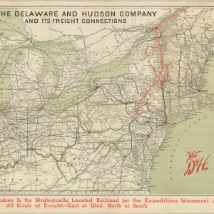
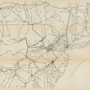
The Delaware and Hudson Company and its Freight Connections
$165.00 Quick View -
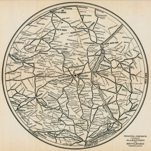
Principal Highways Environing Allentown and Bethlehem Pennsylvania
$95.00 Quick View -
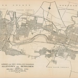
Lehigh and New England Railroad Allentown and Bethlehem Showing Available Industrial Sites
$75.00 Quick View -
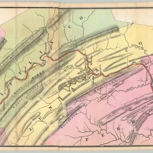
Lehigh and New England Railroad
$85.00 Quick View -
The Mining Districts of the Western United States
$95.00 Quick View -
Sale!
Geological Survey of Victoria Summary of Annual Reports of the Geological Survey Branch and Records of Boring Operations for the Years 1919-1922
Original price was: $195.00.$145.00Current price is: $145.00. Quick View -
[Oil and Coal Maps of McKean County, Pennsylvania]
Quick View -
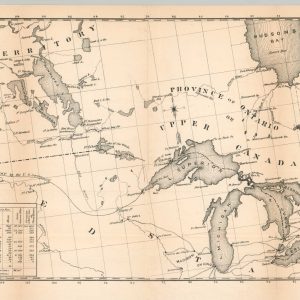
Northern Region Between the Atlantic and Pacific Showing the Chain of Lakes &c.
Quick View -
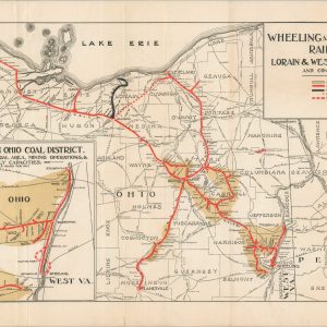
Wheeling and Lake Erie Railway Lorain & West Virginia Ry. and Connections
Quick View -
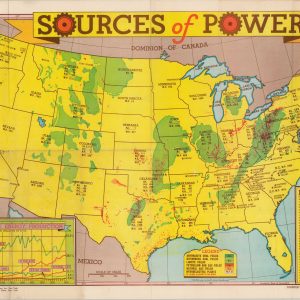
Sources of Power
$200.00 Quick View -
Part of Saline County, Illinois Showing Connecting with J.K. Dering Coal Co.
$1,100.00 Quick View -
Geological Survey of Michigan Atlas Accompanying Reports on Upper Peninsula, 1869 – 1873
Quick View -
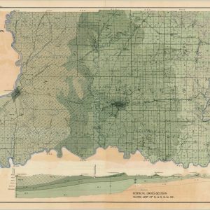
Geological Map of the Coal Region of Indiana (Sheet D) Knox, Daviess and Martin Counties
$75.00 Quick View -
Colton’s Map of the Oil District of Pennsylvania Comprising Part of the Counties of Crawford, Venango, and Warren
$2,600.00 Quick View -
Guide for the Pennsylvania Railroad, with an Extensive Map; Including the Entire Route
Quick View -
Map of Altoona Blair County, Pennsylvania 1939
Quick View


![[Oil and Coal Maps of McKean County, Pennsylvania]](https://curtiswrightmaps.com/wp-content/uploads/map_33.39x32.20_05-12-25_inv006973c-300x300.jpg)