Oklahoma
Showing 1–18 of 59 resultsSorted by latest
-

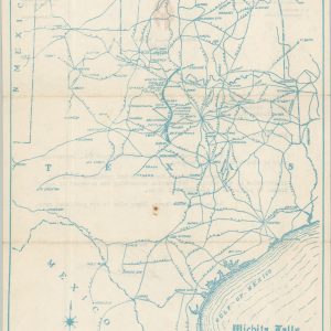
Wichita Falls and Southern R.R. Co.
$195.00 Quick View -
Rand-McNally Map of the Comanche, Kiowa, and Apache Indian Reservations, Oklahoma Territory
$1,200.00 Quick View -
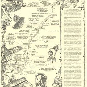
Here It Is! Route 66 The Map Series [Complete Set of 8]
Quick View -
Highway Map U.S. 66 Chicago to Los Angeles Thru Oklahoma City
$250.00 Quick View -
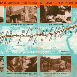
Drive U.S. 66 Across the Scenic West
$95.00 Quick View -
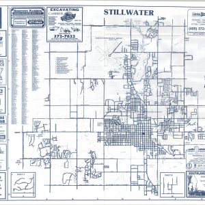
Stillwater [and] Payne County – Oklahoma State University
$50.00 Quick View -
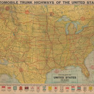
Automobile Trunk Highways of the United States
$500.00 Quick View -
East Texas – Oklahoma with New Mexico – West Texas
$60.00 Quick View -
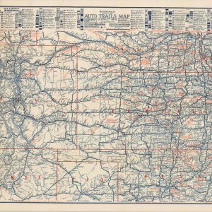
Rand McNally Official 1922 Auto Trails Map District No 12
$225.00 Quick View -
South Central Official AAA Tour Book
$175.00 Quick View -
Lake Texoma
$40.00 Quick View -
Texoma-Land Playground of the Southwest
$90.00 Quick View -
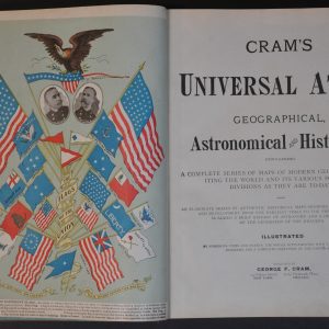
Cram’s Universal Atlas
Quick View -
Railroad Base Point Mileage Map
Quick View -
[Scrapbook of Golf Course Scorecards]
$500.00 Quick View -
[Parts of Missouri, Kansas, Arkansas, and Indian Territory during the American Civil War]
$75.00 Quick View -
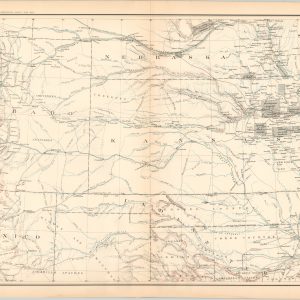
Map of the States of Kansas and Texas and Indian Territory, with parts of the Territories of Colorado and New Mexico
Quick View -
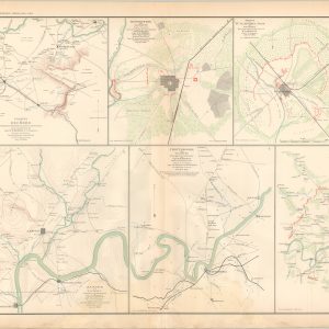
Vicinity of Decherd; Jasper and Vicinity; Chattanooga and Vicinity; Shelbyville and Vicinity; Tullahoma, Tenn. and Vicinity;
$75.00 Quick View