Exploration
Showing 37–54 of 296 results
-
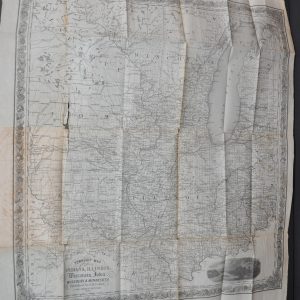
Western Portraiture and Emigrant’s Guide: A description of Wisconsin, Illinois, and Iowa; with remarks on Minnesota, and other territories
$400.00 Quick View -
 Sold Out
The Mapping of the Great Lakes in the Seventeenth Century
Quick View -
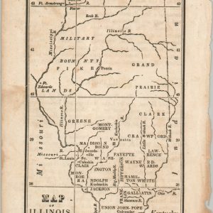
Map of Illinois
$40.00 Quick View -

Il Paese de Selvaggi Outagamiani, Mascoutensi, Illinese, e Parte delle vi Nazioni
$600.00 Quick View -
 Sold Out
Nouvelle Carte du Mexique, du Texas, et D’Une Partie des Etats Limitrophies.
Quick View -
 Sold Out
The Middle States and Western Territories of the United States Exhibiting the Seat of the Western War
Quick View -
 Sold Out
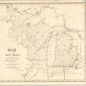
Map of the Northern parts of Ohio, Indiana and Illinois with Michigan
Quick View -
 Sold Out
Partie Occidentale du Canada
Quick View -

Amerique pour la petite Geographie methodique et le Manuel de Geographie
$80.00 Quick View -

Chart of Norton Sound and of Bhering’s Strait made by the East Cape of Asia and the West Point of America
$125.00 Quick View -
 Sold Out
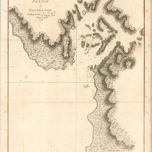
Sketch of Nootka Sound
Quick View -

Captain Glazier and His Lake
$55.00 Quick View -
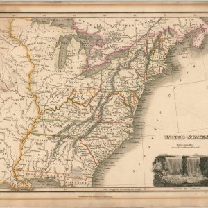
United States
$525.00 Quick View -
 Sold Out
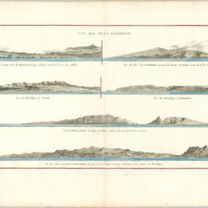
Sandwich Islands
Quick View -

The Map of the United States showing divers Routes & Manner of Conveyance in the Westward Expansion
$350.00 Quick View -

A Plan of the Solar System Exhibiting its Relative Magnitudes and Distances
$125.00 Quick View -

Guinea
$400.00 Quick View -
 Sold Out
Universal Map of Outer Space
Quick View
show blocks helper