Statistics
Showing 1–18 of 129 resultsSorted by latest
-

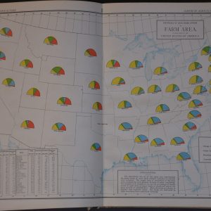
Album of Agricultural Statistics
$275.00 Quick View -
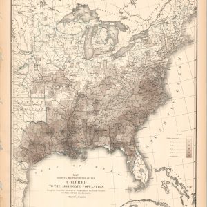
Map Showing the Proportion of the Colored to the Aggregate Population
$75.00 Quick View -
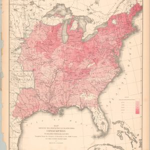
Map Showing the Proportion of Deaths from Consumption
$75.00 Quick View -
Map Showing the Distribution of Wealth
$60.00 Quick View -
Chart Showing the Ratio of Church accommodation to the Total Population Over 10 Years of Age
$75.00 Quick View -
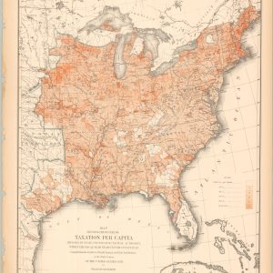
Map Showing the Degree of Taxation per Capita Imposed by State County or Municipal Authority
$60.00 Quick View -
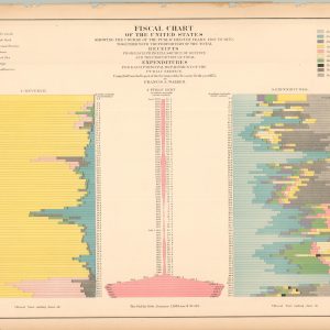
Fiscal Chart of the United States Showing the Course of the Public Debt by years 1790 to 1870.
$75.00 Quick View -
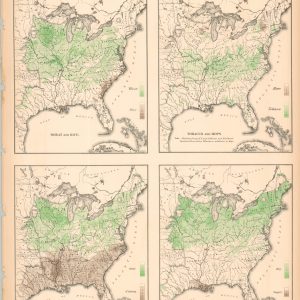
Maps showing the Range and Within the Range the Degree of Cultivation of Certain Principal Crops
$60.00 Quick View -
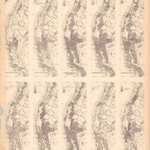
Maps of the Pacific Coast Exhibiting Various Subjects
$60.00 Quick View -
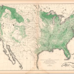
Map Showing in Five Degrees of Density the Distribution of Woodland within the Territory of the United States 1873
$95.00 Quick View -
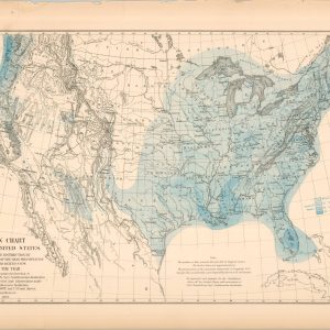
Rain Chart of the United States
$75.00 Quick View -
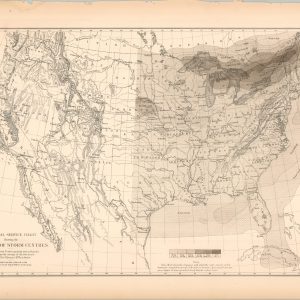
U.S. Signal Service Chart Showing the Frequency of Storm Centers
$75.00 Quick View -
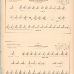
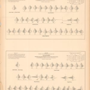
Chart Showing the Distribution by Age and Sex of Idiocy
$60.00 Quick View -
Chart Showing the Distribution by Age and Sex of Insanity
$60.00 Quick View -
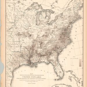
Map Showing, in Five Degrees of Density, the Distribution of the Colored Population within the Territory of the United States East of the 100th Meridian
$60.00 Quick View -
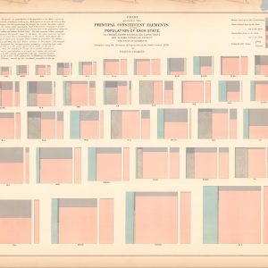
Chart Showing the Principal Constituent Elements of the Population of Each State
$60.00 Quick View -
Temperature Chart of the United States
$60.00 Quick View -
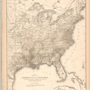
Map Showing the Illiteracy of the Aggregate Population
$60.00 Quick View