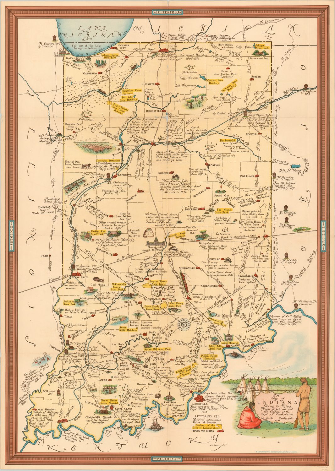
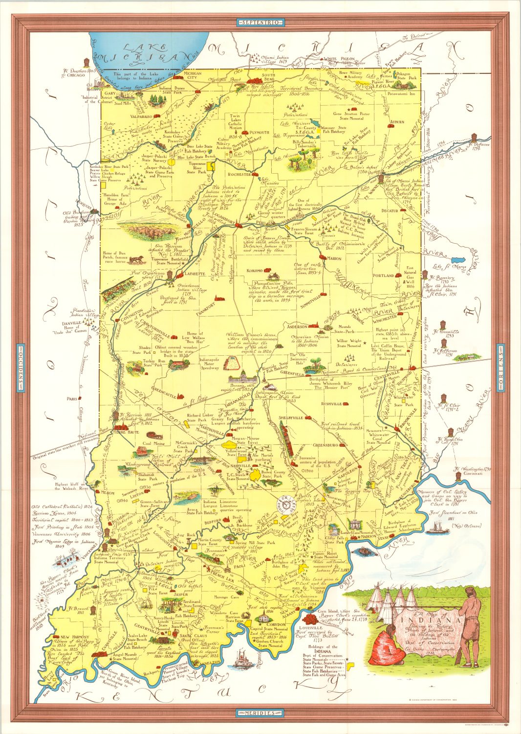
This is the first post to explore a sequence of maps over time. By showcasing the various maps together in one location, I hope to highlight both their similarities and differences as well as identify specific trends and changes. Below we have four pictorial maps of Indiana published between 1932 and 1967.


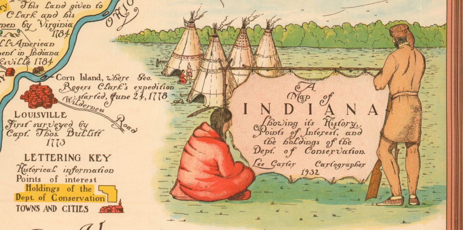
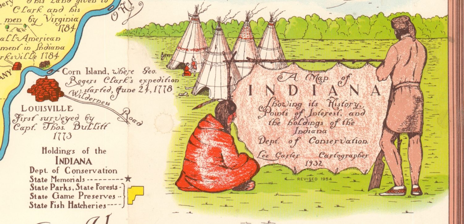
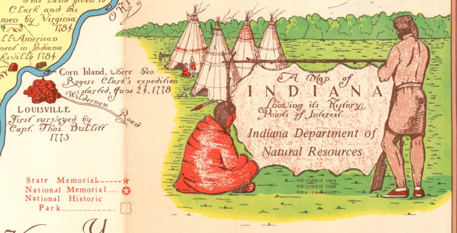
The title cartouche identifies the original cartographer (Lee Carter) and highlights the publisher’s 1965 transition from the Department of Conservation to the Department of Natural Resources. The nearby legend also changes to reflect the various responsibilities and possessions of the issuing authority.

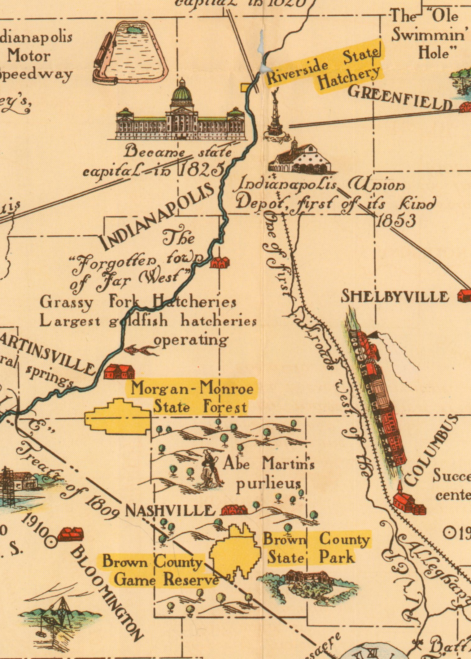
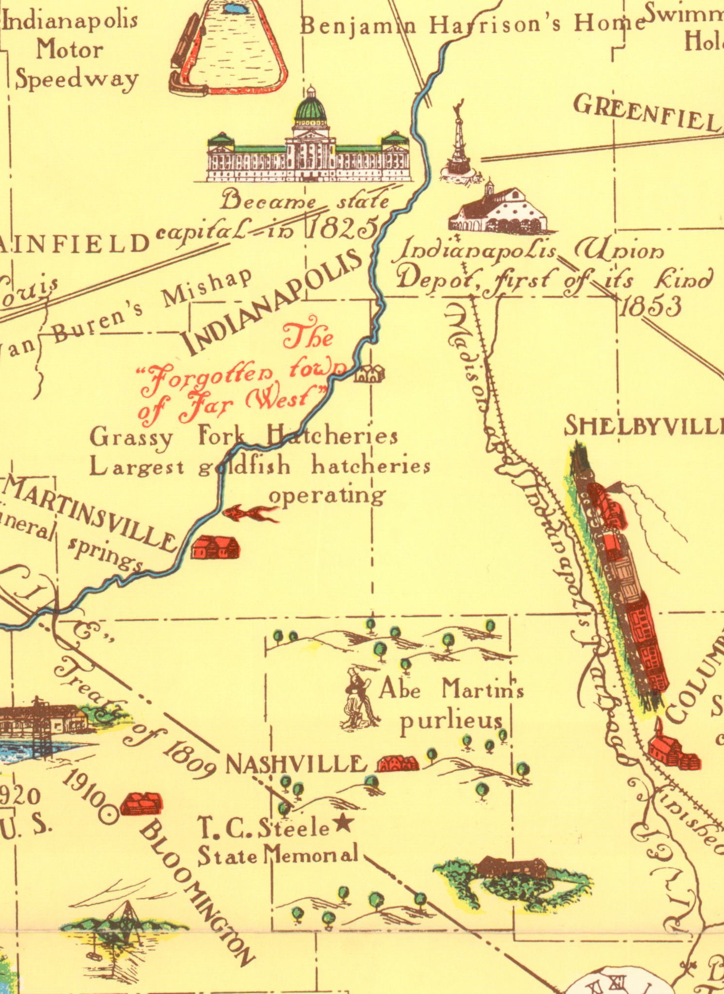
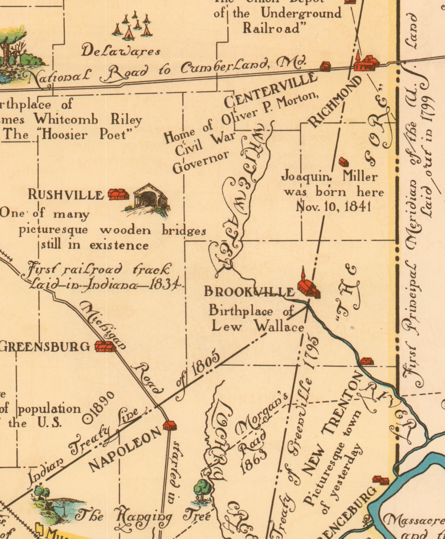
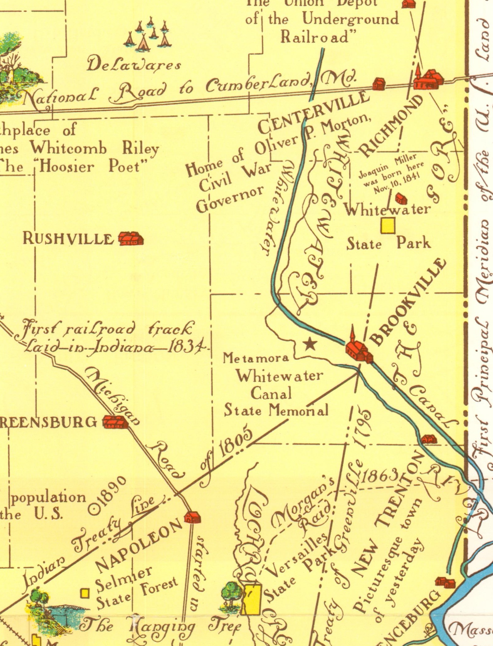
The image remains largely static across all four sheets; with minor variations in the coloration, text, and Department of Conservation possessions. The examples below show the development of properties south of Indianapolis in the 1932, 1954, and 1967 editions. The addition of Benjamin Harrison’s Home and Van Buren’s Mishap in the last panel is also evident (note the different typographic style).

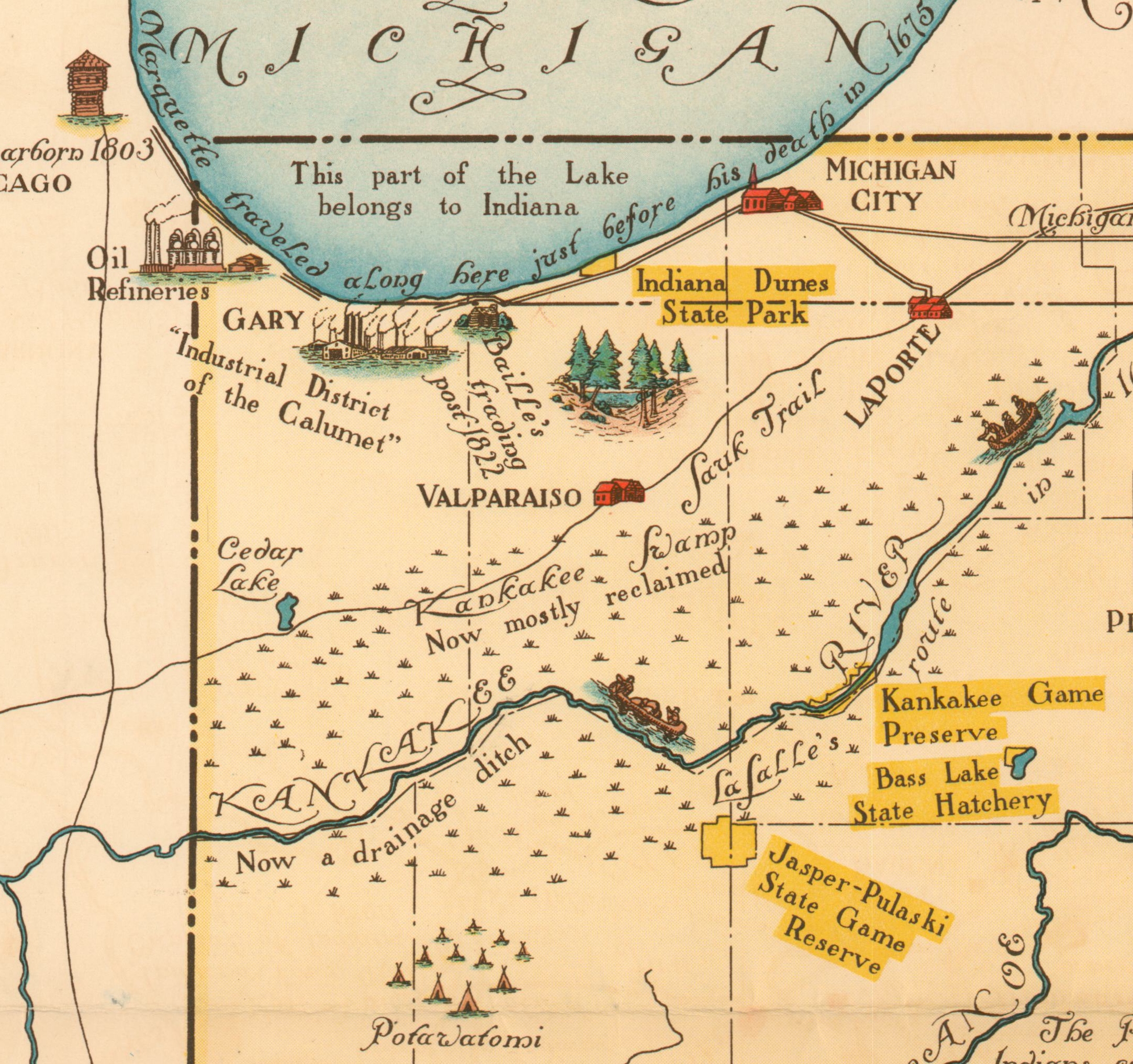
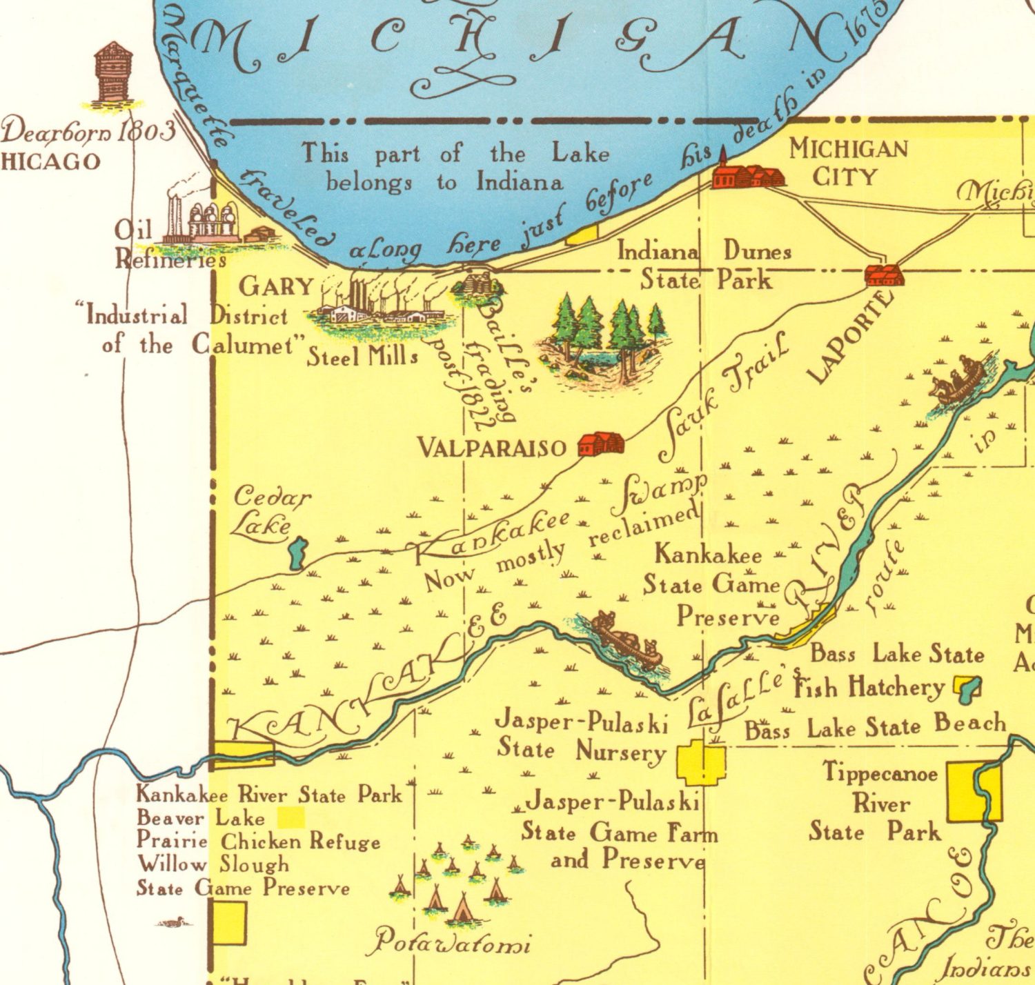
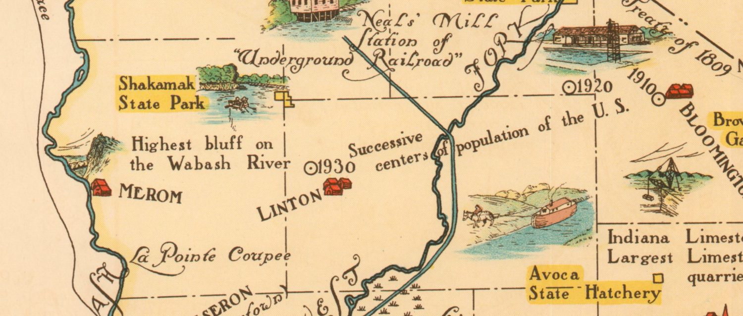
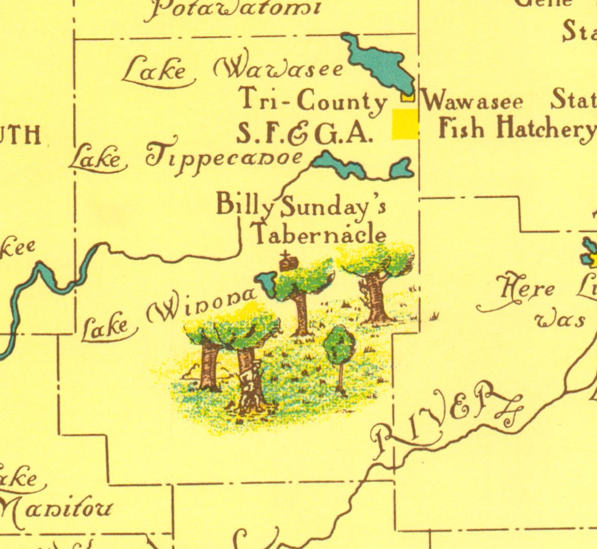
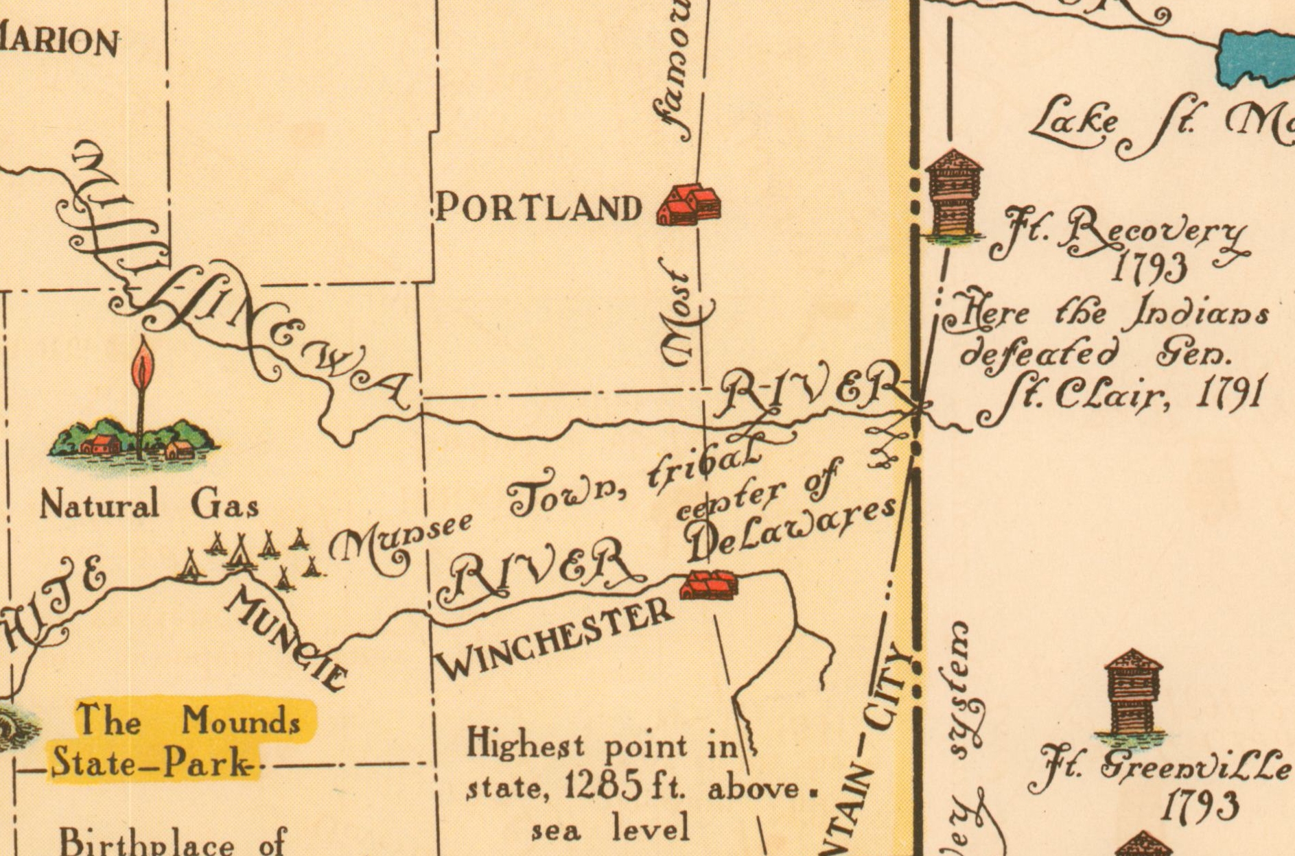
Other, less significant, changes can also be seen upon a closer examination.


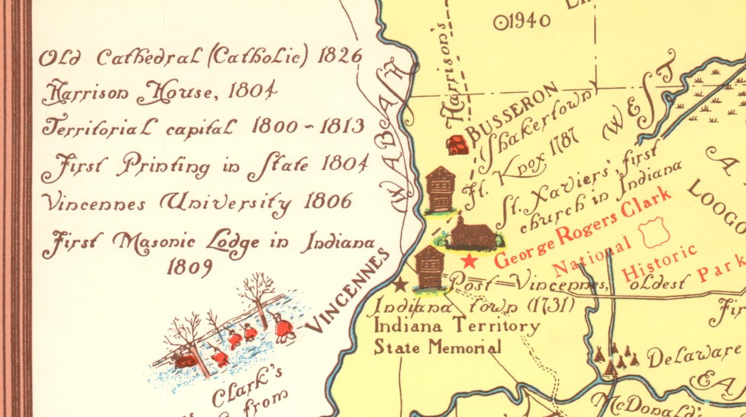
One other notable addition between the first and later editions is a block of text regarding the historical relevance of Vincennes (the author’s hometown).
The list of differences is by no means exhaustive, and if you find others I encourage you to reach out and let me know. I hope you’ve had fun comparing these various maps of Indiana and thanks for reading!
Sources
- Indiana Department of Natural Resources History
- Indiana University Library
- 1932 Edition at the University of Wisconsin Milwaukee