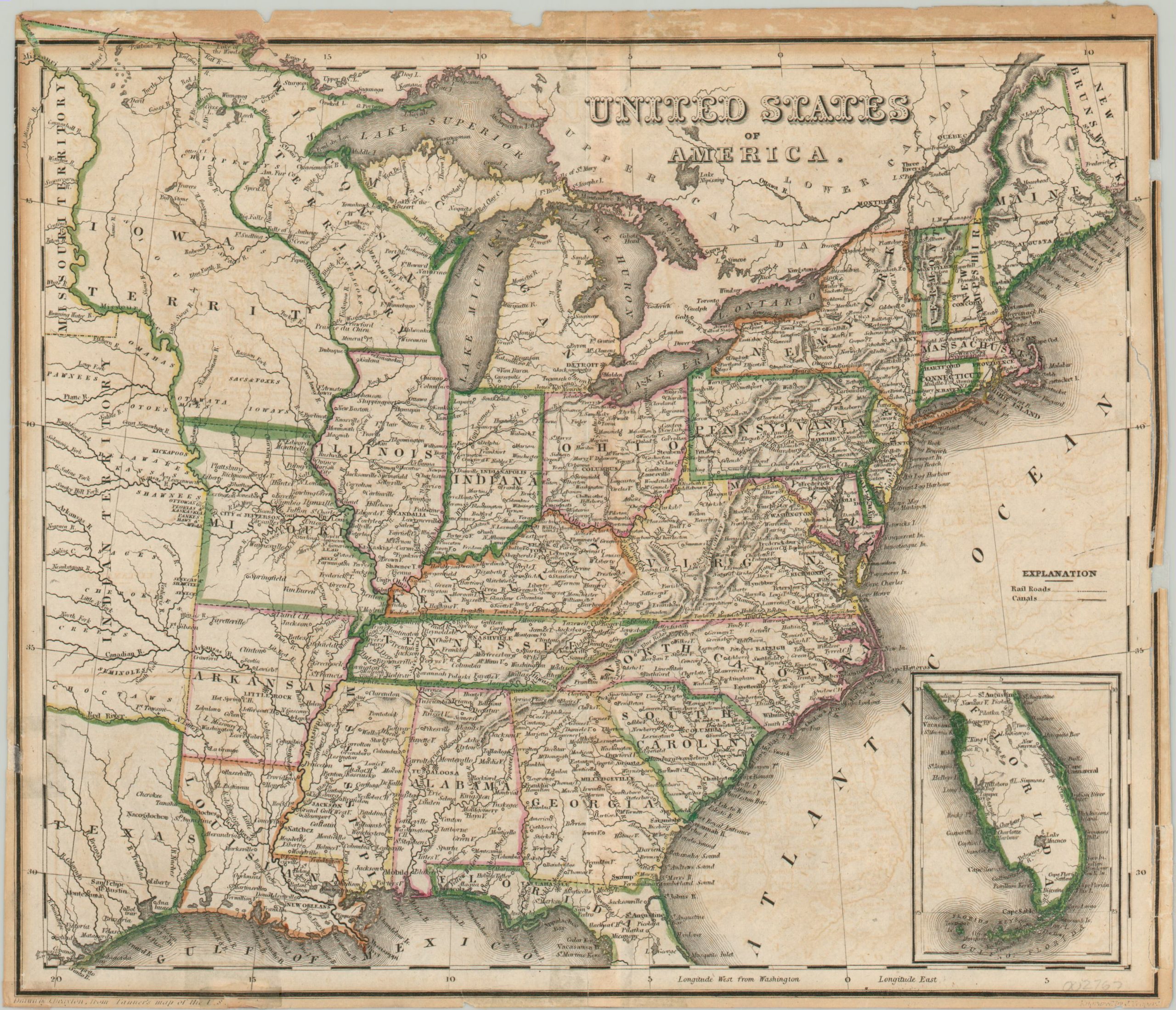
United States of America
$80.00
A critical point in the development of the United States.
1 in stock
Description
This finely detailed map of the United States was drawn by John Drayton, who based it on an earlier issue by Henry Tanner, and published around 1838. The image captures the United States at a pivotal period in westward expansion.
Michigan was admitted as a state the year prior to publication, while this is one of the earliest maps that includes the newly formed Iowa Territory. The eastern portion of the independent Republic of Texas can be seen in the lower left, adjacent to an expansive Indian Territory.
Native American tribes, various sizes of towns and settlements, and prominent geographic features are labeled throughout the image. An inset map in the lower right includes the southern portion of Florida, largely vacant of any interior detail.
Map Details
Publication Date: 1838
Author: John Drayton
Sheet Width (in): 10.50
Sheet Height (in): 9.00
Condition: B-
Condition Description: Previously matted and framed, with moderate wear and paper loss around the outer border, most evidently on the right side of the sheet. Discoloration along the outer edges, especially the top, and a few old tape repairs on the verso.
$80.00
1 in stock

