Typus Galliae Veteris
$300.00
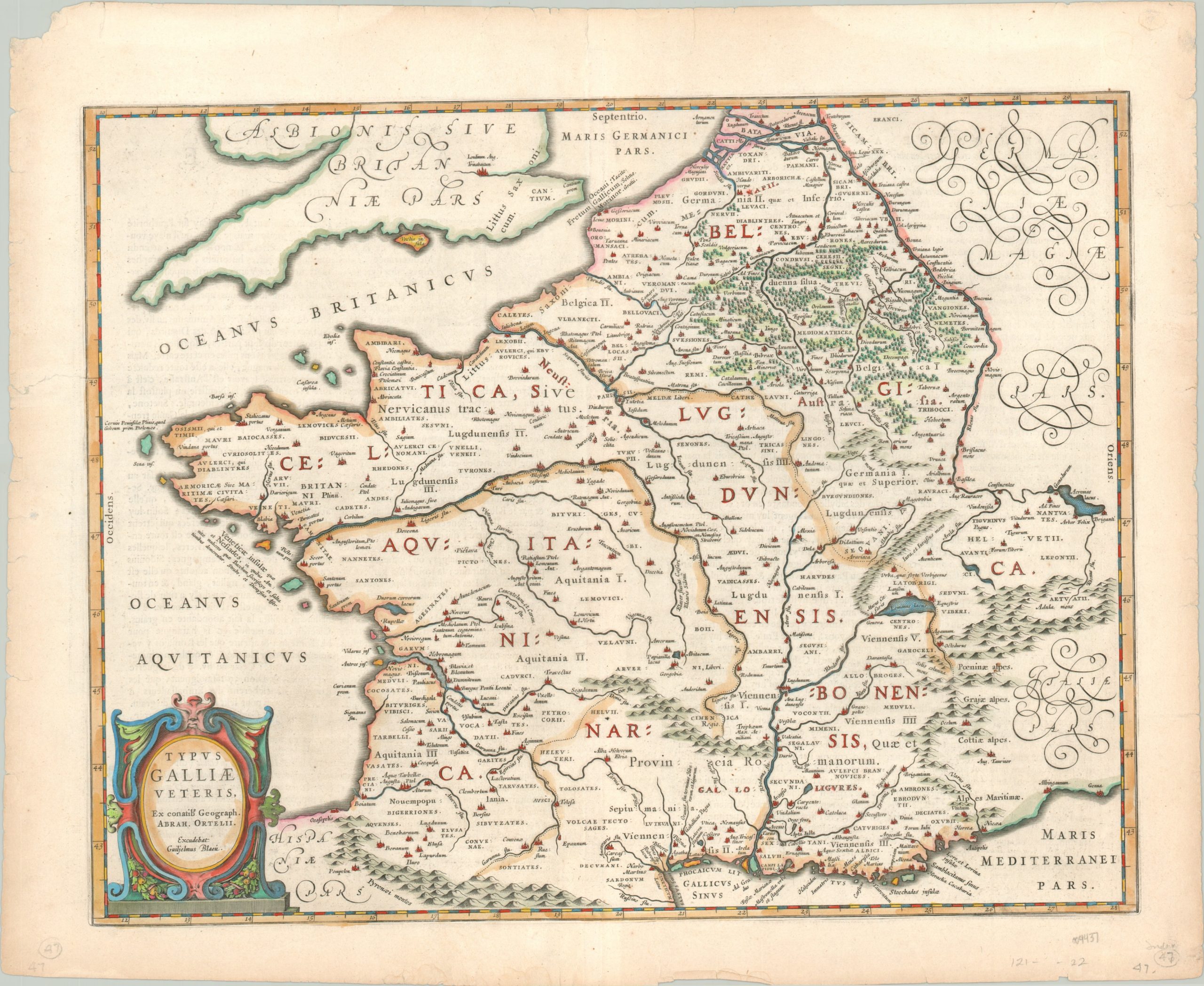
An attractive map of ancient France.
1 in stock
Description
This fascinating map of Roman Gaul was originally created by the famed cartographer Abraham Ortelius and included in the Paregon, an atlas of classical geography that typifies the contemporary interest in ancient Greek and Roman history during the 16th century. This particular example was issued in Amsterdam several decades later, around 1630 by the talented Blaeu publishing firm.
The image reflects Ortelius’ tremendous scholarship on the period. Various Roman polities – cities, regions, etc. – are labeled throughout the image in addition to approximate areas inhabited by various barbarian tribes. Geographic features are depicted pictorially, with the Ardennes Forest and Pyrenees Mountains identified (among others). In addition to heavily leveraging Caesar’s Commentaries for the map’s content, various annotations also reflect input from Strabo, Pliny, and Tacitus. A decorative strapwork title cartouche, lower left, credits both the original author and updated publisher.
Map Details
Publication Date: c. 1630
Author: Guillaume Blaeu
Sheet Width (in): 22.4
Sheet Height (in): 18.2
Condition: A-
Condition Description: Moderate wear visible around the outer edges of the sheet, including light discoloration and numerous small tears confined to the margins. Very good condition with attractive modern hand color. German text on verso.
$300.00
1 in stock

