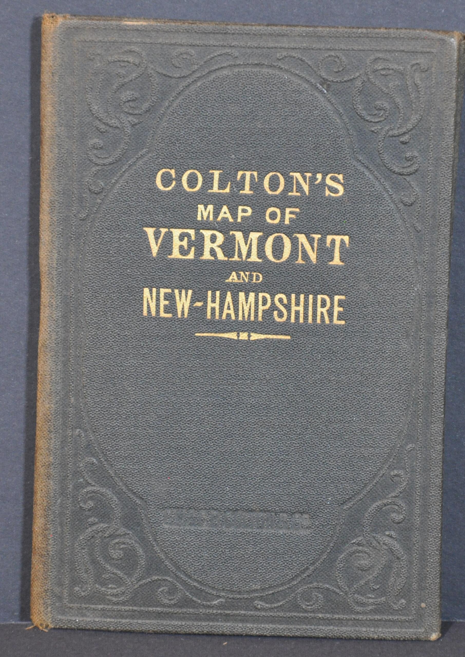
Township Map of the States of New Hampshire and Vermont
$250.00
Late 19th century pocket map of New Hampshire and Vermont.
1 in stock
Description
This intricately engraved map of the states of New Hampshire and Vermont showcases the transportation network of each state near the end of the 19th century. Vibrant color distinguishes the various townships within each county, boldly labeled along with portions of the adjacent states of Maine, Massachusetts, and New York.
Railroads are shown crisscrossing across the image and reach some of the most remote corners of each state by the time of the map’s publication. Topography is depicted in hachure, with the White Mountains in New Hampshire and the Green Mountains in Vermont prominent amid smaller peaks and hills. Other geographic features are also labeled throughout a map surrounded by an elaborate decorative border.
Published in New York by G.W. & C.B. Colton & Co. in 1891. An advertisement for the firm found on the front cover highlights its broad scope in terms of cartographic publications.
Map Details
Publication Date: 1891
Author: G.W. & C.B. Colton
Sheet Width (in): 23
Sheet Height (in): 28.75
Condition: A
Condition Description: Pocket map with original color affixed to original gilt embossed boards. Very good to near fine overall, with light creasing and wear along fold lines.
$250.00
1 in stock


