The Central Gold Region. The Grain, Pastoral, and Gold Regions, of North America
$550.00
“Two auspicious elements in human civilization by their rapid growth in power and importance fix our attention: the indefinite multiplication of gold coin, and international public works.” [Preface]
1 in stock
Description
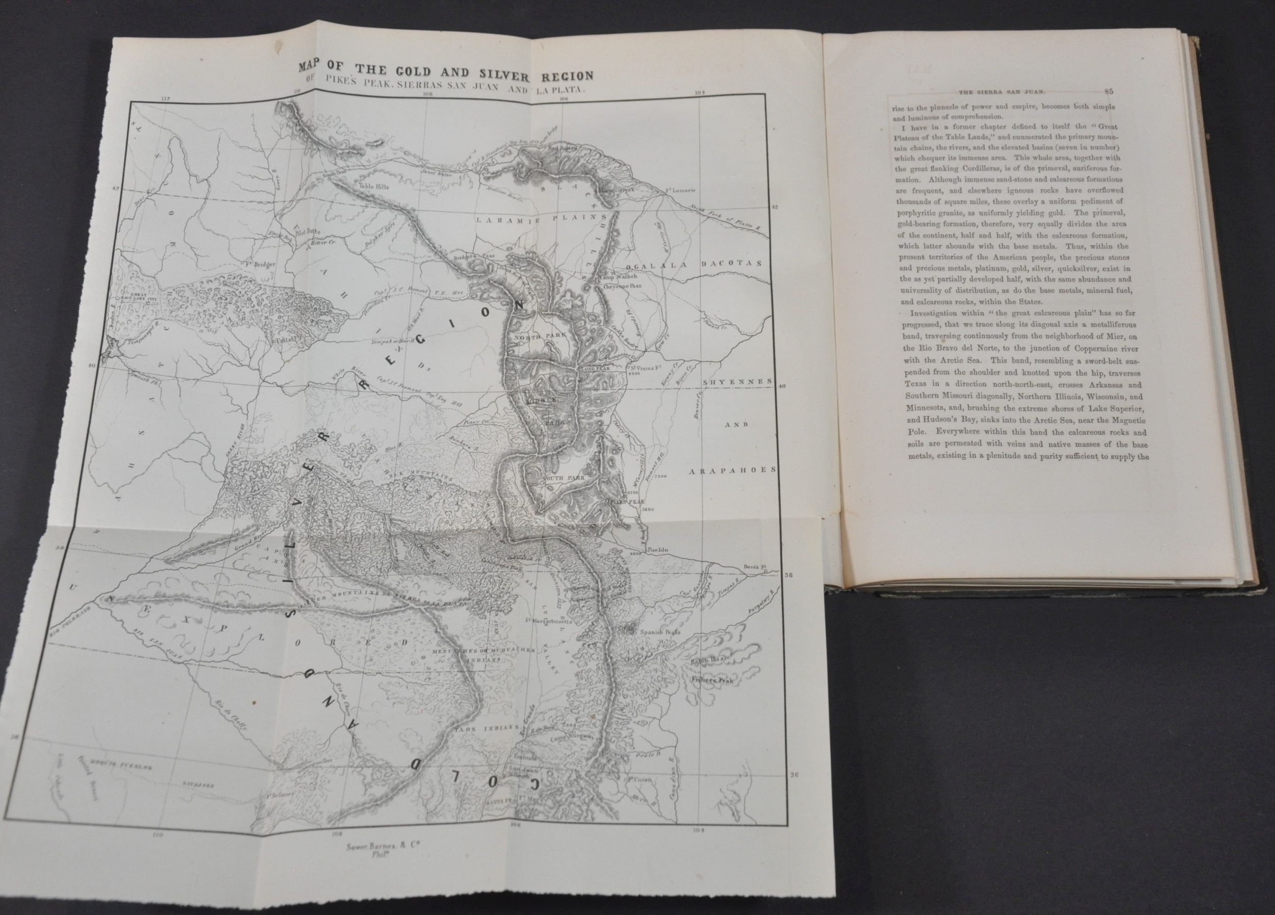
A decade after the 49’ers flocked to the gold fields of central California, the precious yellow ore was discovered in some quantities in the Rocky Mountains of Colorado. Though the initial strike was nearly 100 miles north of the natural landmark visible from across the plains, “Pike’s Peak or Bust!” became the motto of the movement.
Prospectors traveled to the region by the thousands, encouraged by the headlines of unscrupulous journalists, entrepreneurs looking to make a quick buck, and opportunistic politicians hoping to turn everyone eligible into a prospective voter. While he didn’t fit into any of those three particular molds, William Gilpin was one of the chorus of voices who spent much of the mid-19th century praising Manifest Destiny and the promise of the American West.
Gilpin first crossed the United States with John C. Fremont’s famous expedition to California in 1843. He remained behind in the Willamette Valley of the Oregon Country, where he gained prominence in local efforts to establish a provisional government. After serving in the Mexican-American War, Gilpin returned east and began to write on behalf of efforts to develop the west through the construction of a Transcontinental Railroad and extensive settlement.
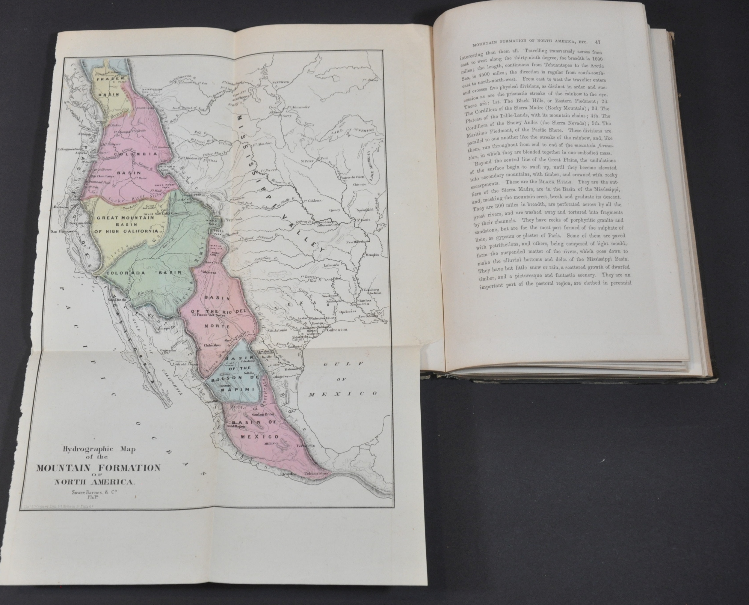
This volume, written shortly before Gilpin was made governor of the Colorado Territory, was published in 1860 and is an excellent example of the promotional literature that fueled western expansion. Glowing text accompanied by spurious statistics and flowery anecdotes emphasizes the vast wealth and opportunity available across the Mississippi Basin, Rocky Mountains, and Pacific Coast. A significant amount of content is dedicated to the merits of the Pacific Railroad, while other chapters discuss climate, geography, agriculture, and geology.
Accompanying the volume are six folding maps (four colored). Of particular interest is the Hydrographic Map of North America, which emphasizes the geographic center of the continent near Independence, Missouri (the traditional jumping off point for the Oregon Trail) and includes a profile view comparing Fremont’s Route to the Pacific Railroad Surveys.
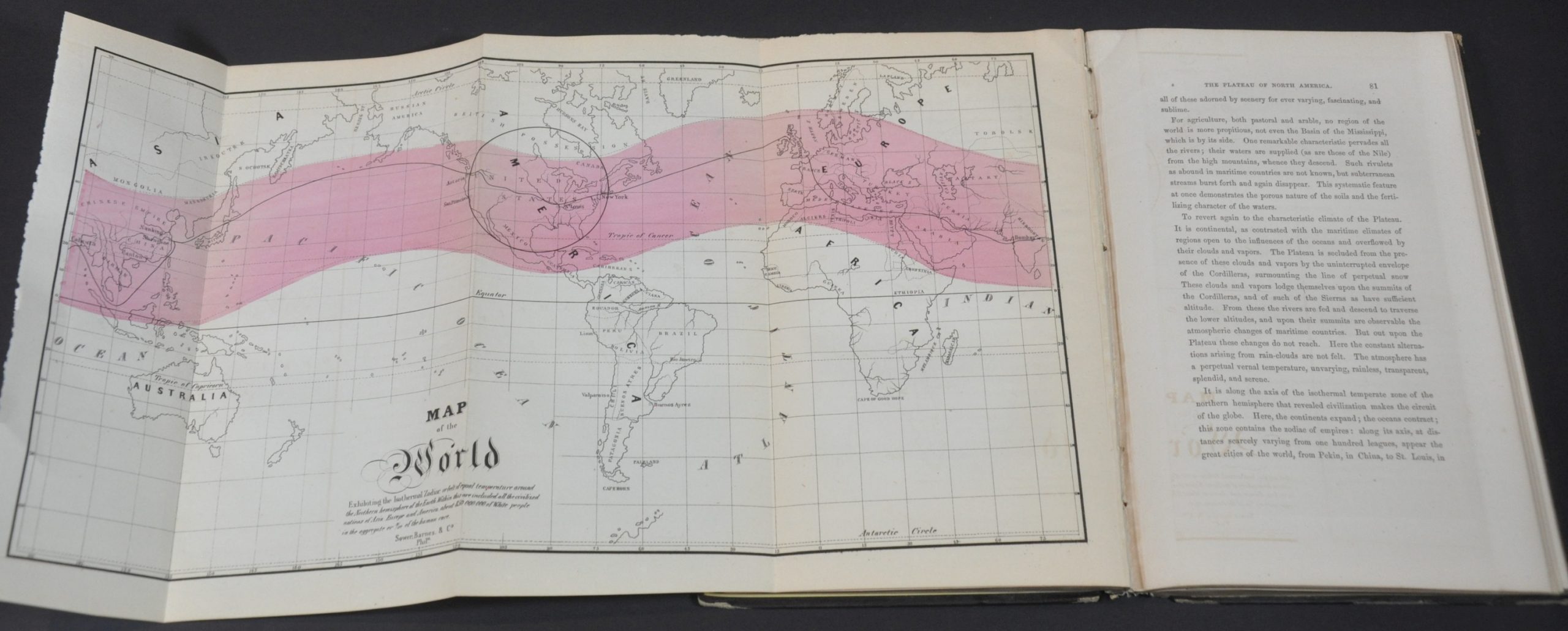
Two other notable cartographic points. The Pony Express, only in operation between 1860 and 1861, is shown on the map of the Basin of the Mississippi map. Furthermore, the map of the world features a broad highlighted isothermal zone, which, according to the accompanying text, “within are included all the civilized nations of Asia, Europe and America, about 850,000,000 of White people in the aggregate or 9/10 of the human race.” Situated in the center is the United States, connected to east and west via New York and Astoria; connected by a (largely spurious) transcontinental railroad.
Graff 1556, Howes G192, Sabin 27468
Map Details
Publication Date: 1860
Author: William Gilpin
Sheet Width (in): See Description
Sheet Height (in): See Description
Condition: A-
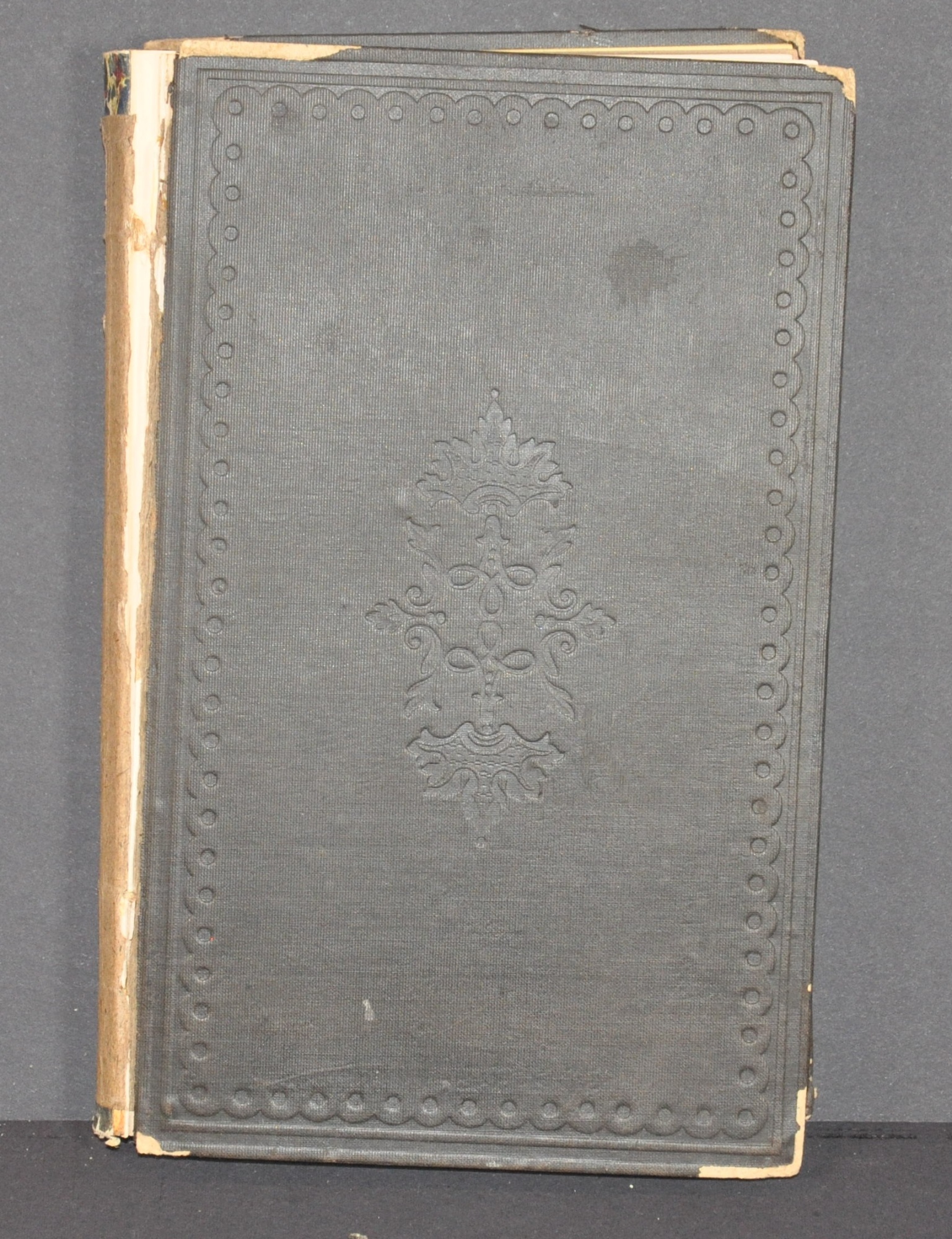
Condition Description: First edition, i-xii + 194 pp. includes all six fold out maps. Bound in original boards measuring approximately 5.6" x 9.1". Front cover is loose and the spine is broken and chipped, but contents are generally tight and in very good condition. A bit of light offsetting and toning, consistent with age.
$550.00
1 in stock


