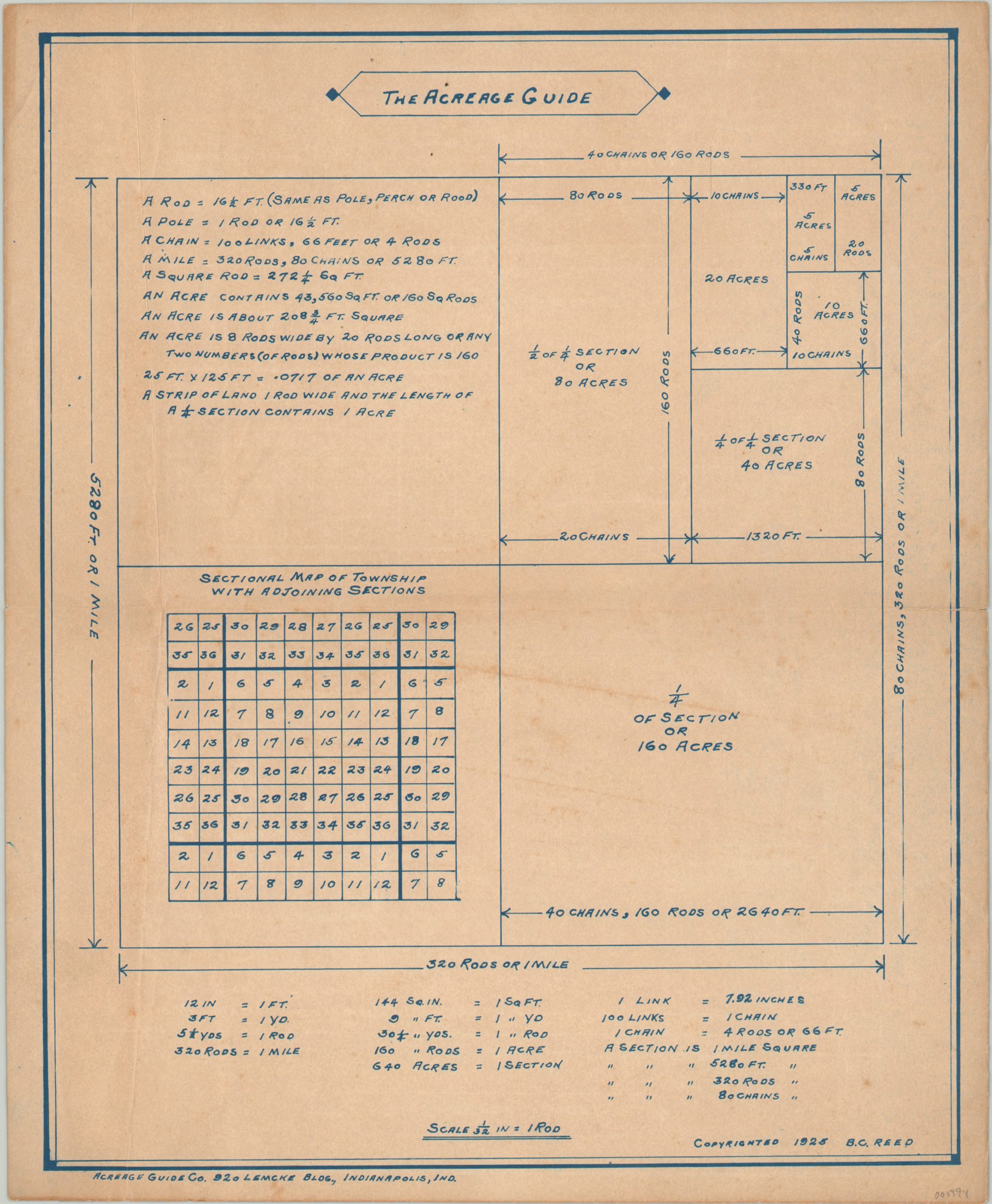
The Acreage Guide
$65.00
A handy guide to 20th century surveying techniques and nomenclature.
1 in stock
Description
Appropriately published by the Acreage Guide Company of Indianapolis in 1925, this nifty sheet provides a detailed overview of the organizational structure and measurements used in the public survey process covering over 3/4 of United States.
This process was defined by the Land Ordinance of 1785, which stipulated that new American territory open to public settlement should be divided into square townships, six miles to a side and further divided into 36 one-mile square sections, seen here as the base of the diagram. Rods and chains were standard surveying tools for hundreds of years.
Map Details
Publication Date: 1925
Author: B.C. Reed
Sheet Width (in): 12.60
Sheet Height (in): 15.20
Condition: B+
Condition Description: The page is toned from age and creased in several places, including a horizontal centerfold which has a 1" tear repaired on verso. Minor offsetting present, but remains in very good condition overall.
$65.00
1 in stock

