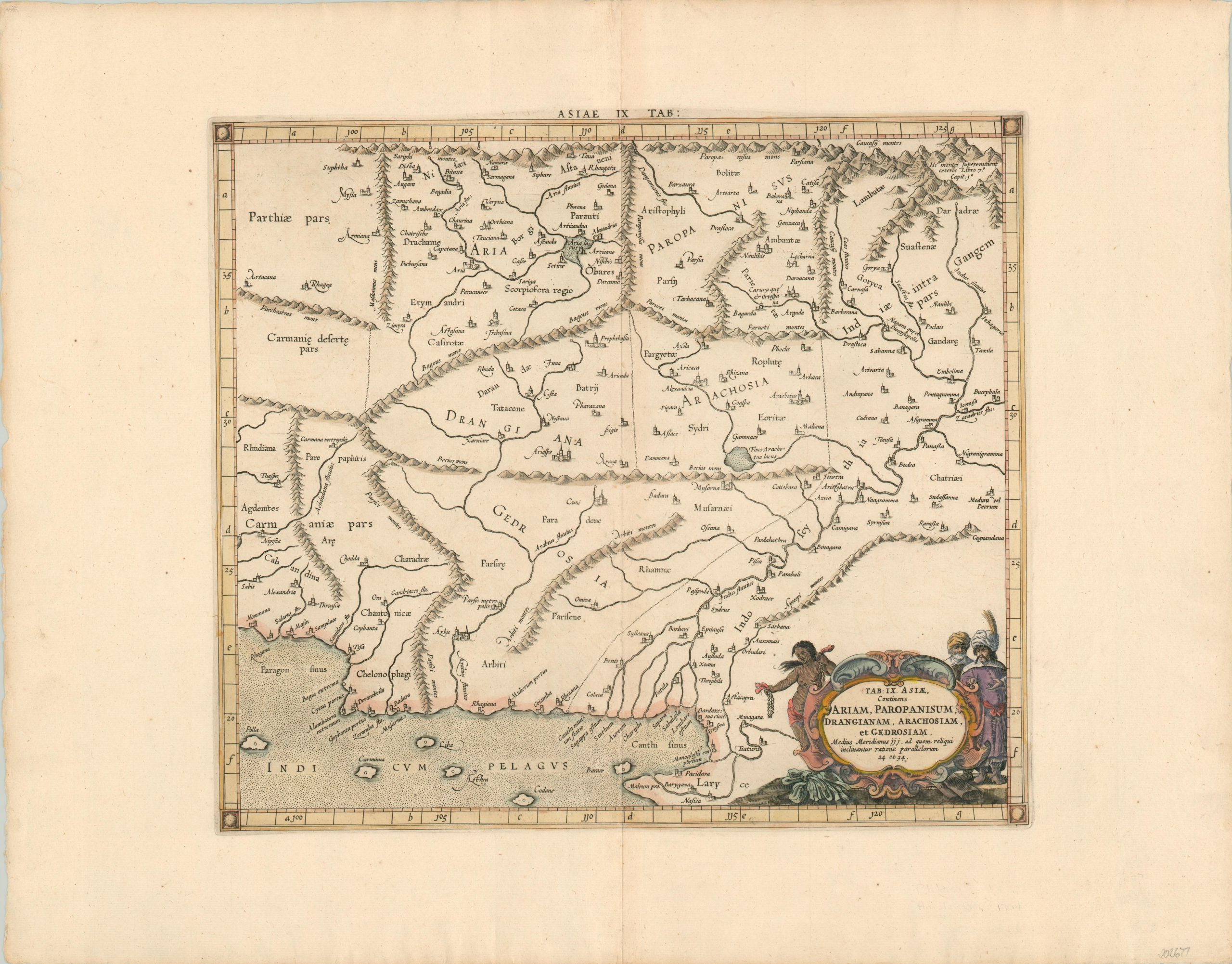
Tab IX Asiae Continens Ariam, Paropanisum, Drangianam, Arachosiam, et Gedrosiam
$200.00
Ptolemaic map of the Indus Valley issued by Mercator in the early 18th century.
1 in stock
Description
Though best known for the map projection that bears his name, Gerard Mercator was also one of numerous cartographers who replicated and updated the work of the ancient Greek geographer Ptolemy. This map, published in Amsterdam in 1704, is one such example.
It shows the Indus River Valley in modern-day Pakistan with the Arabian Sea in the lower left. Lakes and mountain ranges are depicted with a surprising level of accuracy when compared to a cursory review of Google Maps, considering the information depicted was over 1,500 years old at the time of publication.
An decorative cartouche in the lower right reflects the contemporary European impression of the regional inhabitants. A semi-nude native is shown holding what appear to be strings of cowrie shells – a form of currency used in areas across the world. On the opposite side are two wealthy men – possibly merchants based on the bolts rolled cloth at their feet.
Map Details
Publication Date: 1704
Author: Gerard Mercator
Sheet Width (in): 23.4
Sheet Height (in): 18.2
Condition: A
Condition Description: Light creasing along the vertical centerfold and a bit of faint discoloration along the outer edges of the sheet. Very good, or better, overall. Features attractive hand color and issued on watermarked paper.
$200.00
1 in stock

