Sea of Matrimony
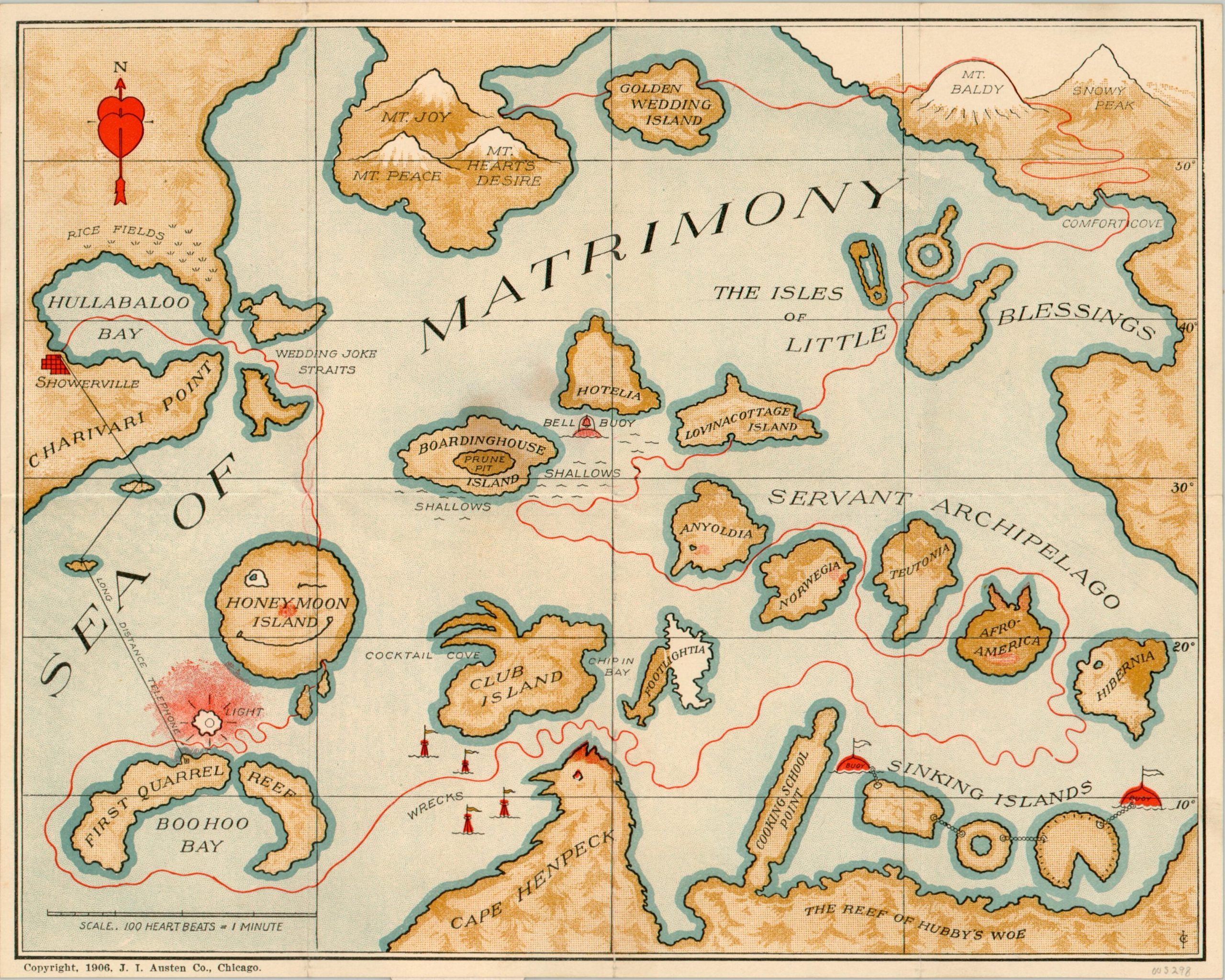
Early 20th century allegorical map of the voyage of marriage.
Out of stock
Description
This map, subtitled “Cupid’s tourist guide,” proposes a fictional voyage across the Sea of Matrimony; from Showerville in Hullabaloo Bay all the way to the three peaks of Mt. Joy, Mt. Peace, and Mt. Heart’s Desire. Each stage of an idealized marriage is reflected by a geographic metaphor. For example, a light is provided to steer wary travelers away from the First Quarrel Reef. Other hazards, such as Cape Henpeck and the Reef of Hubby’s Woe should also be avoided at all costs.
The route continues around The Servant Archipelago, which is reflective of early 20th-century conceptions about foreign domestic help to Lovinacottage Island. From there, one travels through the Isles of Little Blessings, Comfort Cove, and Mt. Baldy on the way to their final destination.
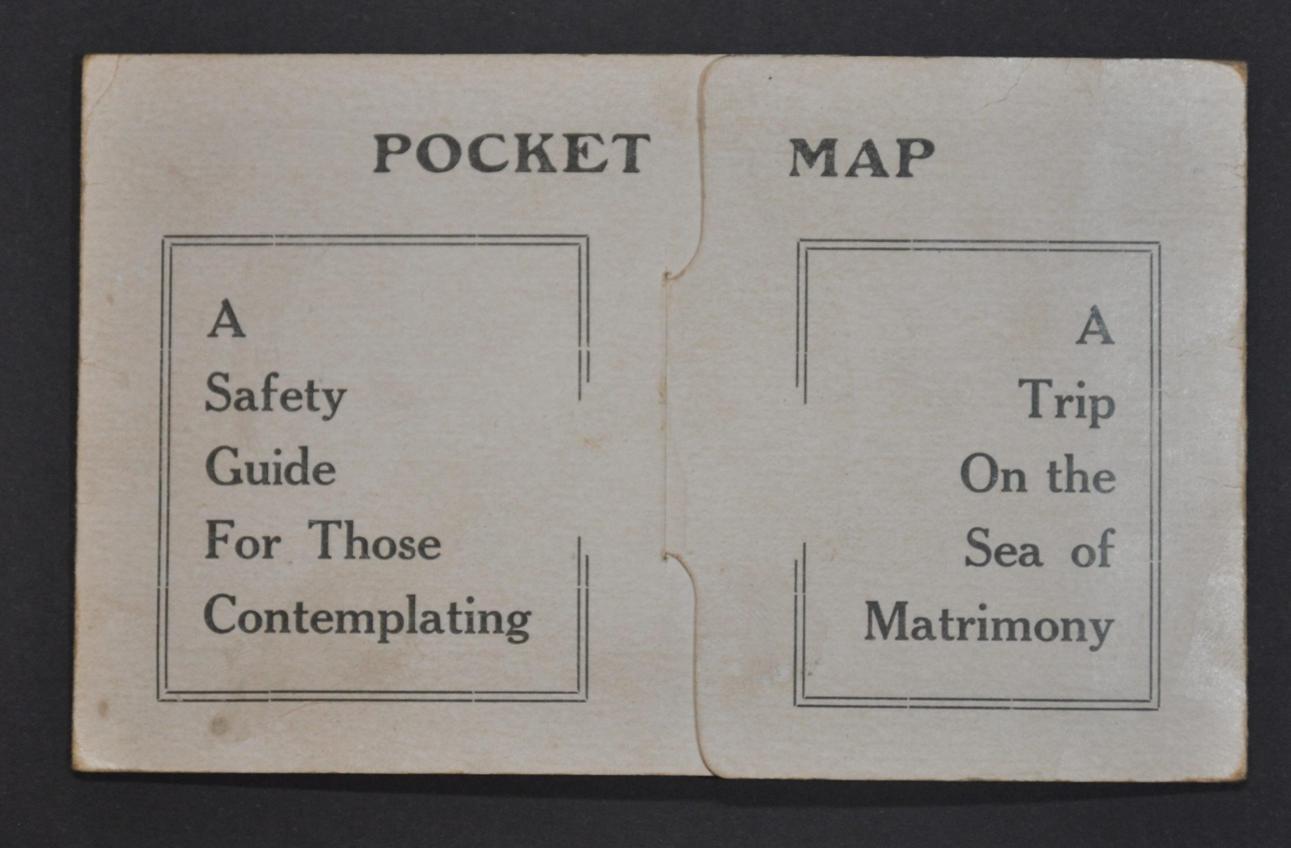
The map is enclosed in its original paper wraps, which provide a more detailed itinerary ‘for those contemplating a voyage on the Sea of Matrimony.’ Published in Chicago by the J.I. Austen Company in 1906.
Map Details
Publication Date: 1906
Author: J.I. Austen Co.
Sheet Width (in): 11
Sheet Height (in): 8.9
Condition: A
Condition Description: Pocket map folded into 8 segments and affixed to original stiff paper covers. Light wear, consistent with age, but in near fine condition overall.
Out of stock


