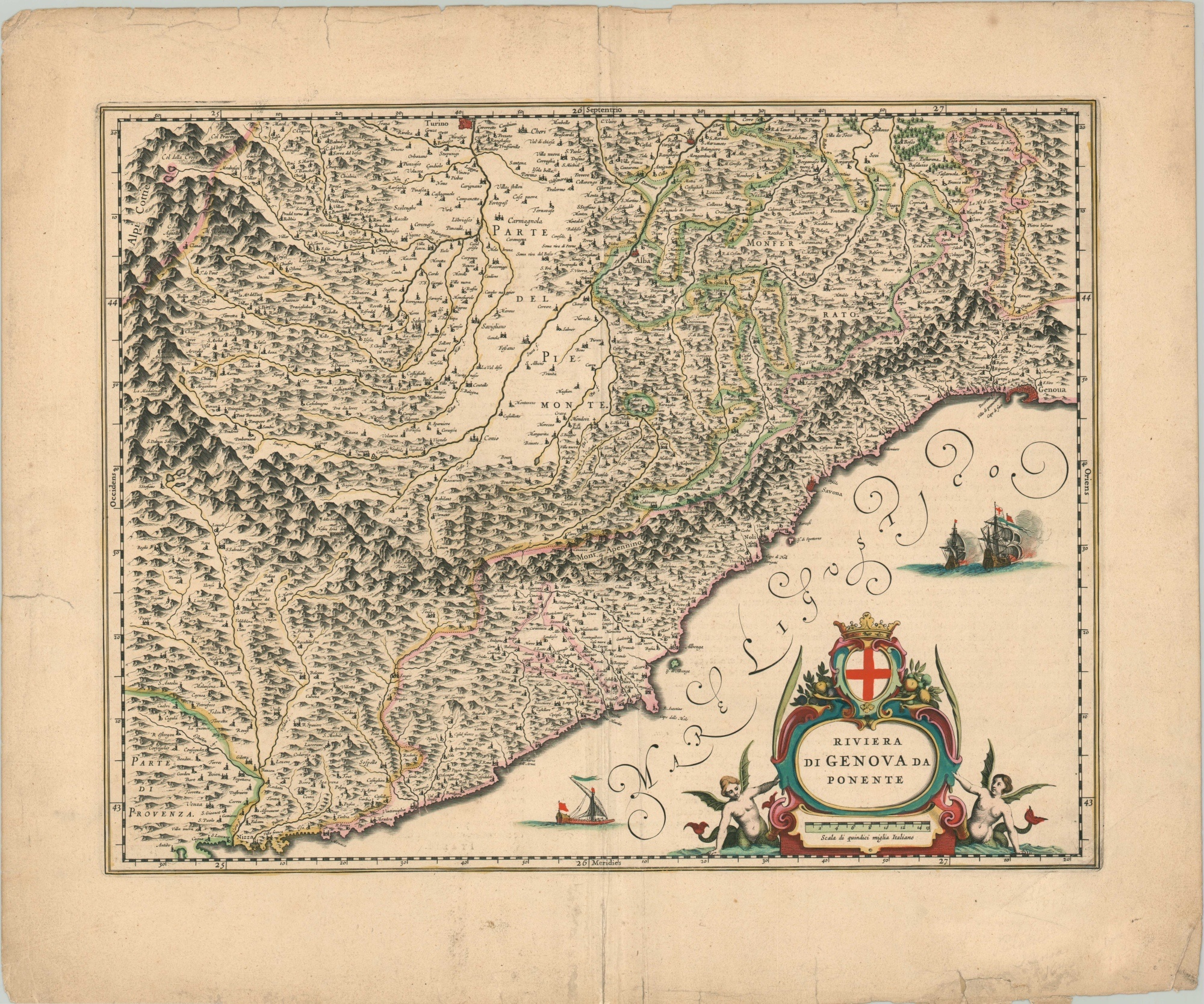
Riviera di Genova Da Ponente
$200.00
The Mediterranean coast between Italy and France in the 17th century.
1 in stock
Description
This attractive copperplate engraved map covers a broad area along the Mediterranean coast between Nice, France, and Genoa, Italy, going inland as far as Turin. Topography is depicted pictorially and both the Apennine and Alps mountain ranges are named.
The image captures a portion of the Republic of Genoa, a maritime kingdom and financial center that existed until the late 18th century. Towns, monasteries, geographic villages, and fortified cities are labeled throughout. Ships engage in both commerce and battle on the seas, while a decorative title cartouche features the coat of arms and the literal and figurative fruits of the waves.
Published in Amsterdam around 1640 by the Blaeu family.
Map Details
Publication Date: c. 1640
Author: Blaeu Family
Sheet Width (in): 23.10
Sheet Height (in): 19.4
Condition: B
Condition Description: Heavy creasing and wear along vertical centerfold and numerous small tears (less than 1") along the outer edges are confined to the margin. The largest have been repaired on the verso with archival tape. Moderate discoloration is also visible in the outer margins, but the image remains clean and shows vibrant hand color. French text on verso.
$200.00
1 in stock

