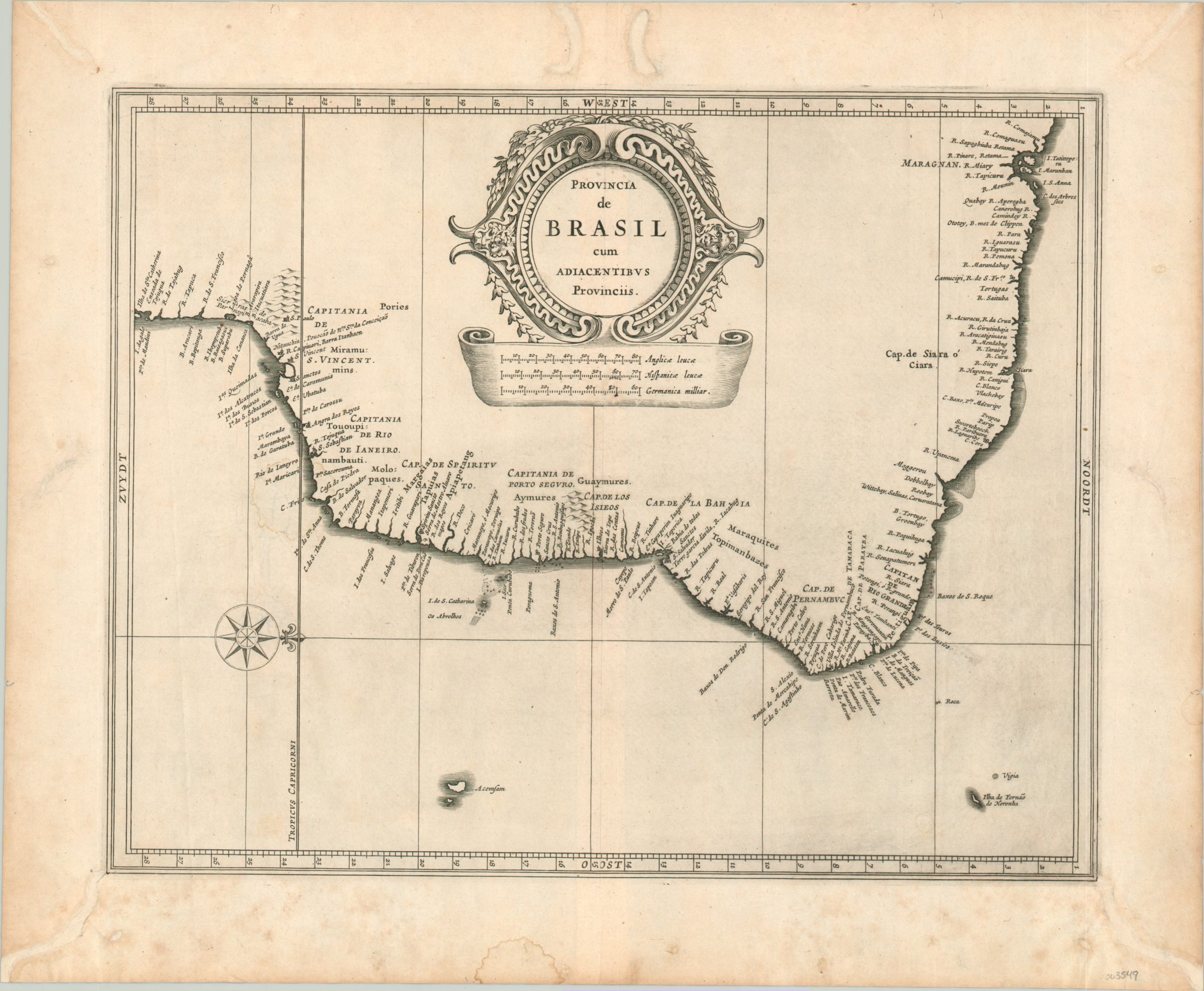
Provincia de Brasil cum Adiacentibus Provinciis
$750.00
The Brazilian coastline in the early 17th century, according to Dutch sources.
1 in stock
Description
This copperplate engraved map covers much of modern-day Brazil between Santa Catarina Island and Sao Luis. Portuguese captaincies (local administrative divisions) are labeled throughout, though otherwise the toponyms are devoted entirely to place names and geographic features along the coast.
Interior details have been replaced by a large decorative cartouche and distance scales indicating English, German, and Spanish measurements. This variation is indicative of the competitive colonial interest in Brazil around the time of publication. The Dutch were particularly interested in acquiring Portuguese sugar plantations, having briefly occupied the city of Salvador in 1624. They would launch a subsequent attack on Olinda the same year the map was issued and retain control over portions of Brazil until 1654.
The map was published in Leiden in 1630 as part of Johannes de Laet’s Nieuwe Wereldt often Beschrijvinghe van West-Indien (Description of the West Indies). The work was originally issued in 1625 and contained ten maps – this is from the slightly updated version that contained fourteen maps and an additional 100 pages of text, reflecting the increased interest of the Dutch in the New World.
Described by Philip Burden as “arguably the finest description of the Americas published during the seventeenth century,” the maps in de Laet’s work were based directly off the cartography of Hessel Gerritsz, considered by some to be the foremost mapmaker of the Dutch Golden Age of Cartography. Gerritsz was the exclusive cartographer for the Dutch East India Company and had access to some of the most up-to-date information available. His maps are generally only available in manuscript form and those published by de Laet are some of the few available to collectors today.
Johannes de Laet was no slouch, either, and he used meticulous research and contemporary sources when compiling his geographic data. As a director of the newly formed Dutch West India Company, the latest information from private correspondence, manuscripts, and other company secrets would have also been made available when compiling the maps.
Sources: Shirley (BL Atlases) G.LAET-1b, Burden, University of Leiden
Map Details
Publication Date: 1630
Author: Johannes de Laet
Sheet Width (in): 16.50
Sheet Height (in): 13.60
Condition: B
Condition Description: Numerous spots of worming in the margins have been professionally restored with paper fill. A few spots in the image have also been reconstituted, most evident along the centerfold in the Germanic distance scale. A quarter size damp stain can be seen just above the compass rose, with other light spotting confined to the margins. Remains in good to very good condition overall.
$750.00
1 in stock

