Nice
$125.00
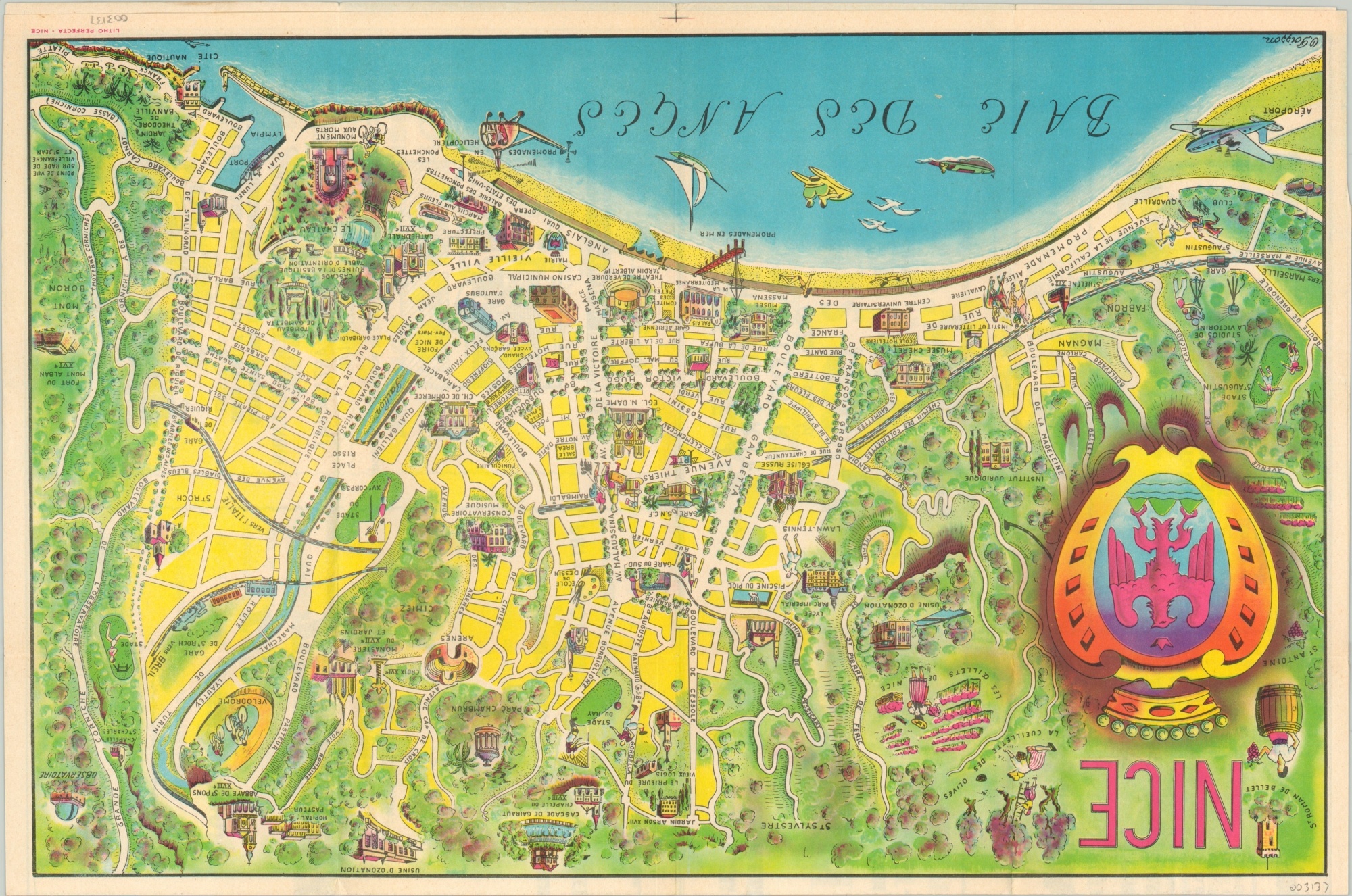
Postwar pictorial map of Nice, France, part of the French Riviera.
1 in stock
Description
This attractive map of Nice, France shows a vibrant city on the Mediterranean coast enjoying the bloom of postwar tourism prosperity. American G.I.’s on leave in the French Riviera during World War II brought back stories of the region’s culture, weather, and wine and its popularity exploded in the years following.
Illustrated vignettes highlight many locations of interest, recreational opportunities, and cultural institutions. Advertisements on the verso are entirely in French, but the promotional text on the opposite half of the map is also provided in English.
Drawn by O. Poisson and issued around 1950 by S.A.T.A.M. Tourisme Mondial (the Nice Tourism Agency).
Map Details
Publication Date: c. 1950
Author: O. Poisson
Sheet Width (in): 16.6
Sheet Height (in): 10.9
Condition: A-
Condition Description: Map occupies half of a larger folding promotional sheet, with fold lines as originally issued. Light creasing and faint wear, consistent with age. Very good overall.
$125.00
1 in stock

