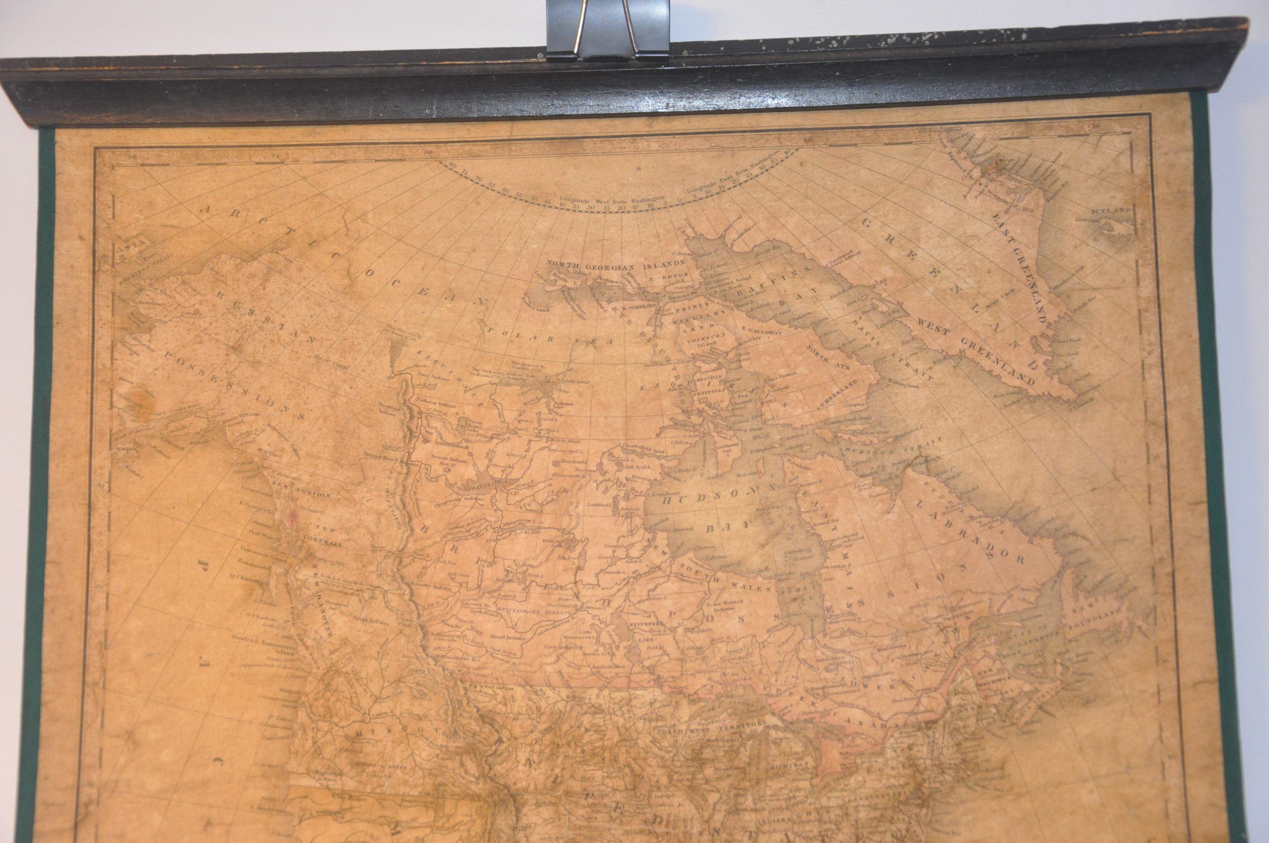
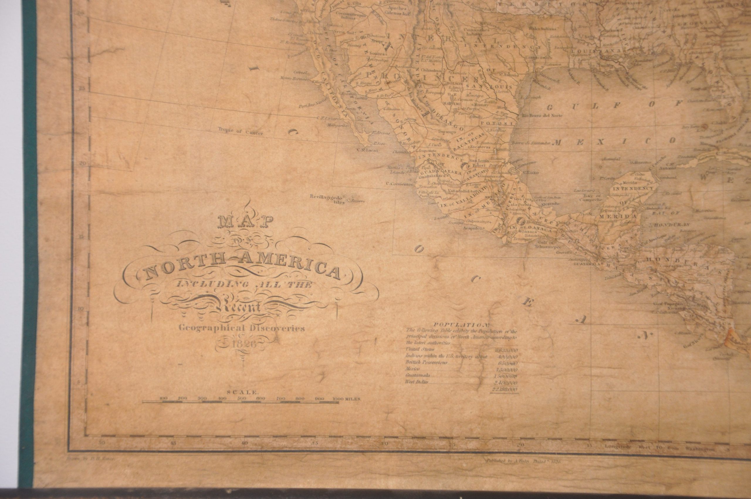
Map of North America Including All the Recent Geographical Discoveries
Colonial North America after the first quarter of the 19th century.
Out of stock
Description
This awesome map of North America provides a detailed political overview of the continent during the Golden Anniversary (50 years) of the United States. The nation had come a long way since the original thirteen colonies, and the inclusion of the Oregon Territory within America is an early representation of Manifest Destiny nearly 20 years before the term first appeared in print. Competing territorial claims between the Americans, British, Russians, Mexicans, and Spanish are reflected in the (faded) color scheme.
The tension between these nations and indigenous populations are reflected in the interspersed frontier fortifications and native tribes and villages. A population table at the bottom of the sheet highlights the dramatic loss of Native Americans across the continent, with only 400,000 remaining in United States territory.
Geographical information reflects explorations by Lewis & Clark, Zebulon Pike, William Parry, and David Thomson, among others. Topography depicted in hachure and notable features like rivers, mountain peaks, and lakes are labeled. Despite the success of these voyages and the information they obtained, speculation remains in both the American West and Arctic Circle, with the latter including numerous references to the perennial search for the Northwest Passage.
The map was drawn by D.H. Vance, engraved by J.H. Young, and published by Anthony Finley in Philadelphia in 1826. The plates were later acquired by Samuel Augustus Mitchell, but these earlier versions are quite scarce on the market.
Map Details
Publication Date: 1826
Author: Anthony Finley
Sheet Width (in): 18
Sheet Height (in): 21.75
Condition: B-
Condition Description: Professionally mounted on new canvas with vintage wooden rollers affixed to the top and bottom. Heavily toned throughout, with moderate areas of soiling and spotting, former cracking in the lower margin, and several areas of discoloration in the center of the sheet. The soiling does make the map difficult to read in some areas, but provides an authentic antique patina that makes for an eye-catching display.
Out of stock


