[Java]
$110.00
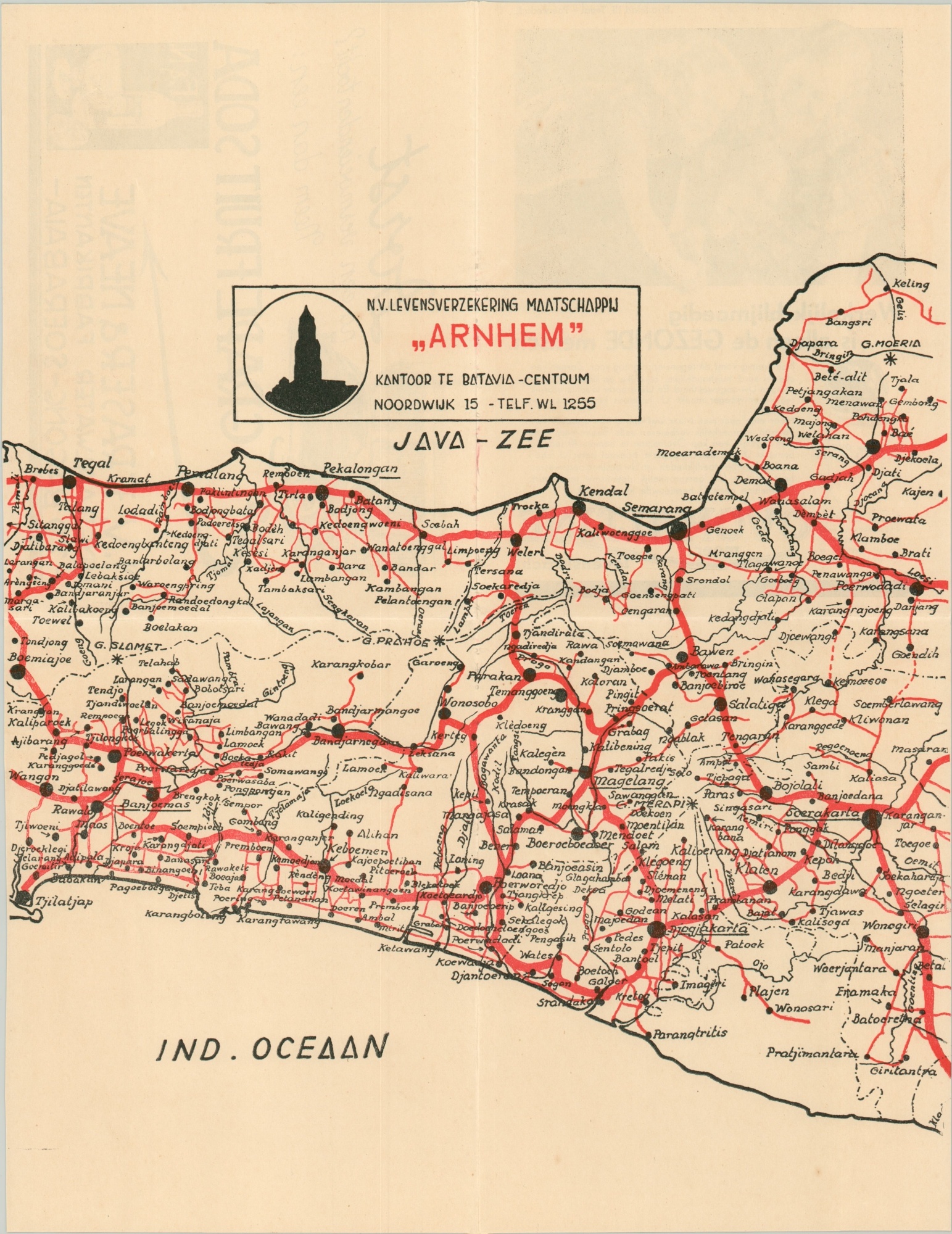
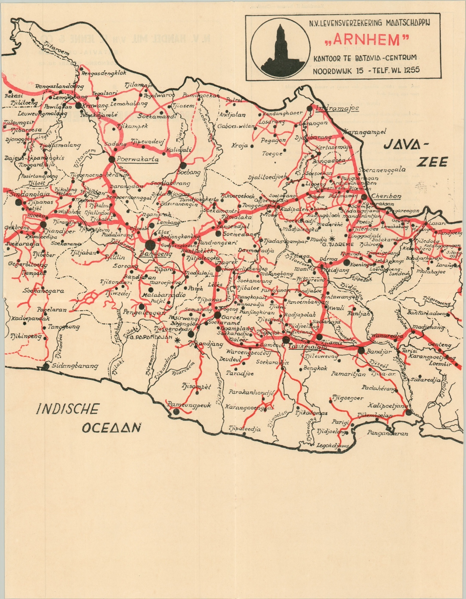
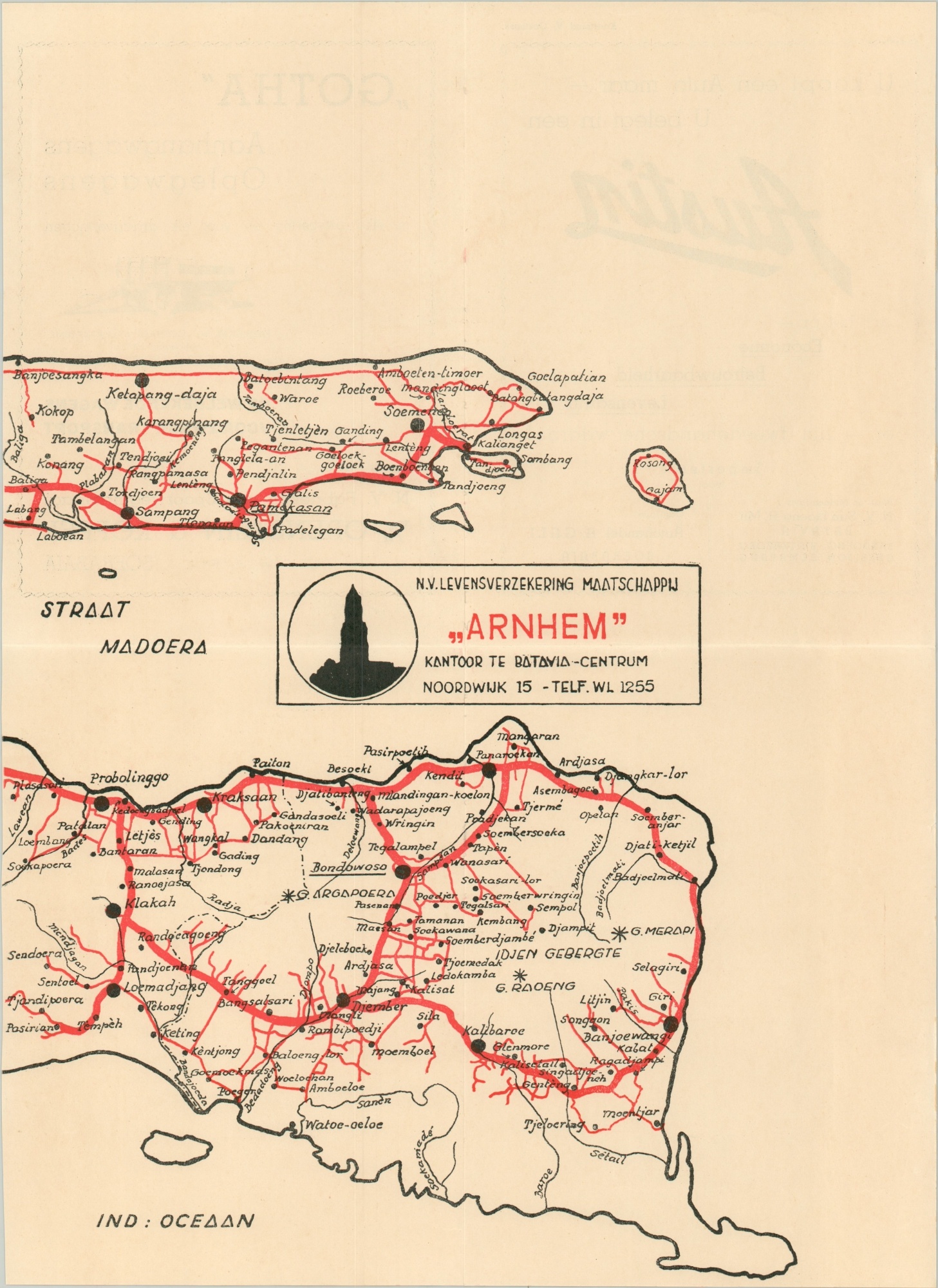
Dutch road map of Java published shortly before the outbreak of World War II.
1 in stock
Description
This interesting little road ‘atlas’ was published in the late 1930s to promote the Arnhem Life Insurance Company of Batavia (Jakarta). The Indonesian Island of Java is spread across five separate folding sheets, each of which shows primary and secondary routes in bright red.
Contemporary advertisements promote transportation companies, infant formula, life insurance, and other Dutch commercial interests across the island. An index of place names and distance tables from major urban areas are also provided.
t the time of publication, almost the entirety of modern-day Indonesia was a Dutch colony. World War II saw a terrible Japanese invasion and occupation of the territory, which fueled ambitions for independence. The Dutch tried to re-establish their rule after Japan’s surrender, but a brutal four-year conflict coupled with intense international pressure led the Netherlands to renounce their territorial claims and accept a sovereign Indonesia in 1949.
Map Details
Publication Date: c. 1937
Author: Arnhem Life Insurance Company
Sheet Width (in): See Description
Sheet Height (in): See Description
Condition: A-
Condition Description: Five sheets, each folded twice, accompanied by an eight page index and six page guidebook with distance tables and contemporary advertisements. Each sheet measures approximately 12.5" x 17" and is in very good condition with the exception of sheet # 4, which has about 6" of old cellophane tape on the upper left side.
$110.00
1 in stock


